
Chevroux, commune in Ain, France
Location: Ain
Location: communauté de communes du pays de Bâgé et de Pont-de-Vaux
Location: arrondissement of Bourg-en-Bresse
Industry: administration publique générale
Shares border with: Boissey, Boz, Gorrevod, Manziat, Ozan, Saint-Étienne-sur-Reyssouze, Bâgé-Dommartin
Phone: +33385364021
Email: mairie@chevroux.fr
Website: http://chevroux.fr
GPS coordinates: 46.38056,4.94861
Latest update: May 30, 2025 10:36
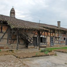
Ferme de Layat
3.5 km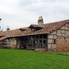
Ferme du Mont
968 m
Ferme de la Bourlière
718 m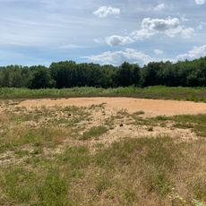
Lande tourbeuse des Oignons
2.4 km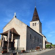
Église Saint-Sébastien de Boz
4.1 km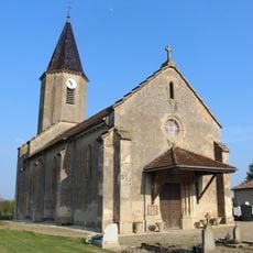
Église Saint-Gervais-et-Saint-Protais de Boissey
3.7 km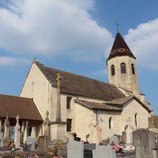
Église Saint-Pierre-et-Saint-Paul de Gorrevod
4.4 km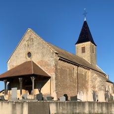
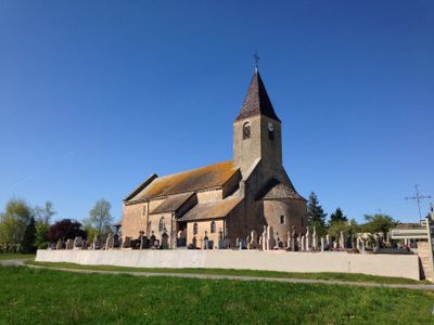
Église Saint-Martin de Chevroux
184 m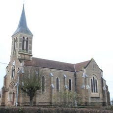
Église Saint-Martin d'Ozan
2.9 km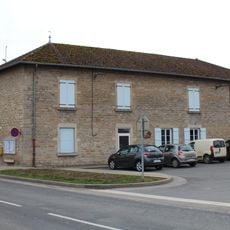
Mairie de Chevroux
57 m
Town hall of Saint-Étienne-sur-Reyssouze
5.3 km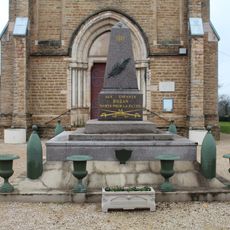
War memorial of Ozan
2.9 km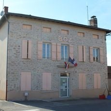
Town hall of Boz
4.2 km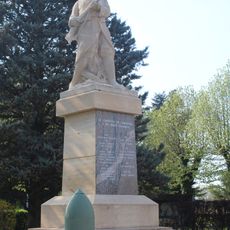
War memorial of Gorrevod
4.5 km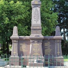
War memorial of Boz
4.1 km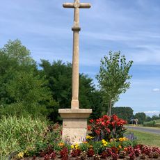
Croix des Bletonnées
3.5 km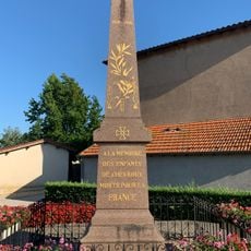
War memorial of Chevroux
401 m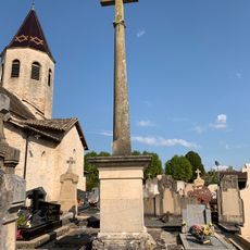
Cemetery cross of Gorrevod
4.4 km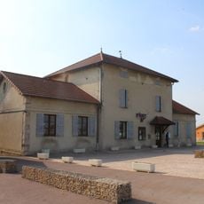
Mairie de Gorrevod
4.2 km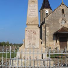
War memorial of Boissey
3.7 km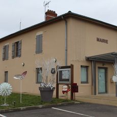
Town hall of Ozan
2.9 km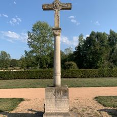
Cemetery cross of Ozan
2.5 km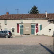
Mairie de Boissey
3.7 km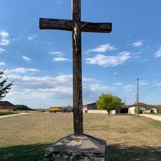
Croix de Niermont-le-Haut
4.1 km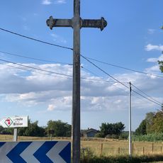
Croix Ferrod
5 km
Cemetery cross of Boissey
3.7 km
Croix du Platet
3.3 km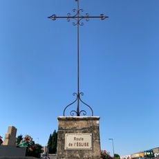
Cemetery cross of Chevroux
194 mReviews
Visited this place? Tap the stars to rate it and share your experience / photos with the community! Try now! You can cancel it anytime.
Discover hidden gems everywhere you go!
From secret cafés to breathtaking viewpoints, skip the crowded tourist spots and find places that match your style. Our app makes it easy with voice search, smart filtering, route optimization, and insider tips from travelers worldwide. Download now for the complete mobile experience.

A unique approach to discovering new places❞
— Le Figaro
All the places worth exploring❞
— France Info
A tailor-made excursion in just a few clicks❞
— 20 Minutes