
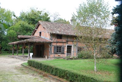
Ferme de la Bourlière, human settlement in France
Location: Chevroux
Address: La Bourlière
GPS coordinates: 46.37950,4.95784
Latest update: June 23, 2025 15:02
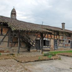
Ferme de Layat
2.8 km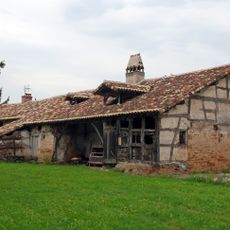
Ferme du Mont
874 m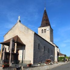
Église Saint-Sébastien de Boz
4.7 km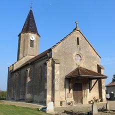
Église Saint-Gervais-et-Saint-Protais de Boissey
3 km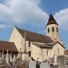
Église Saint-Pierre-et-Saint-Paul de Gorrevod
4.6 km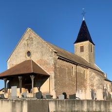
Église Saint-Martin de Chevroux
808 m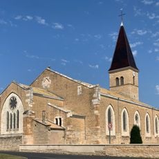
Église Saint-Christophe de Manziat
4.6 km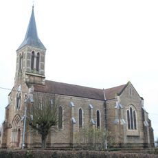
Église Saint-Martin d'Ozan
3.6 km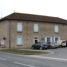
Mairie de Chevroux
774 m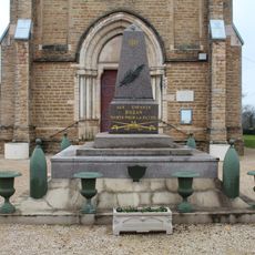
War memorial of Ozan
3.6 km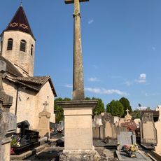
Cemetery cross of Gorrevod
4.6 km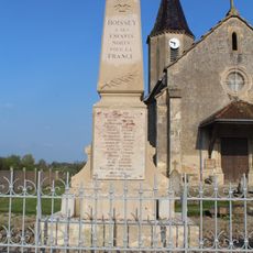
War memorial of Boissey
3 km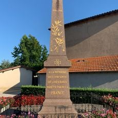
War memorial of Chevroux
945 m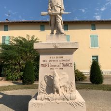
War memorial of Manziat
4.7 km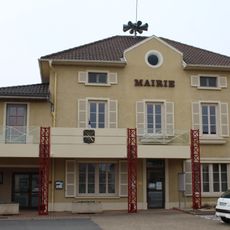
Town hall of Manziat
4.5 km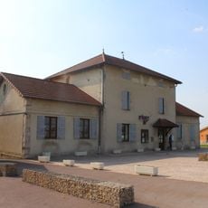
Mairie de Gorrevod
4.4 km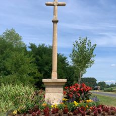
Croix des Bletonnées
4.1 km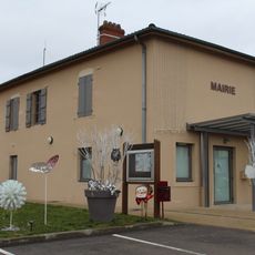
Town hall of Ozan
3.6 km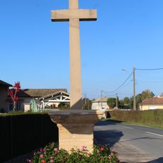
Croix des Millets
4.5 km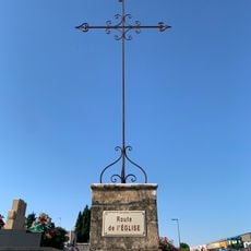
Cemetery cross of Chevroux
781 m
Cemetery cross of Boissey
3 km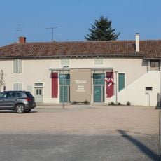
Mairie de Boissey
3 km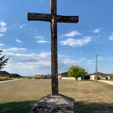
Croix de Niermont-le-Haut
3.9 km
Croix Ferrod
4.5 km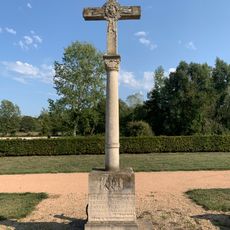
Cemetery cross of Ozan
3.2 km
Croix du Platet
3.9 km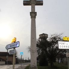
Croix des Gonnières
419 m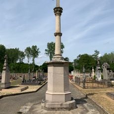
Cemetery cross of Boz
4.1 kmReviews
Visited this place? Tap the stars to rate it and share your experience / photos with the community! Try now! You can cancel it anytime.
Discover hidden gems everywhere you go!
From secret cafés to breathtaking viewpoints, skip the crowded tourist spots and find places that match your style. Our app makes it easy with voice search, smart filtering, route optimization, and insider tips from travelers worldwide. Download now for the complete mobile experience.

A unique approach to discovering new places❞
— Le Figaro
All the places worth exploring❞
— France Info
A tailor-made excursion in just a few clicks❞
— 20 Minutes