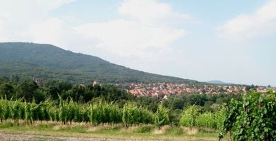
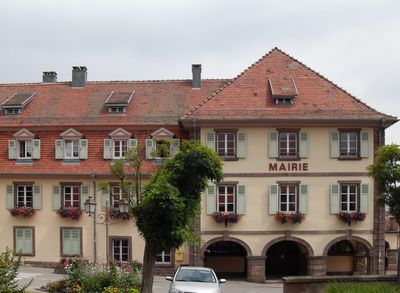
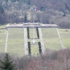
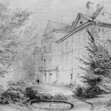
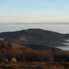
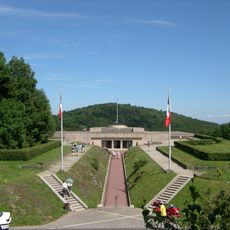
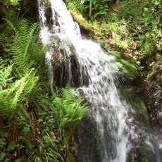
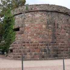
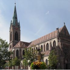
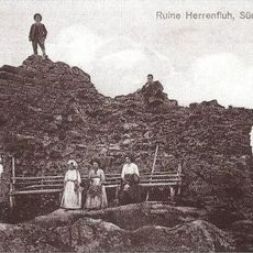
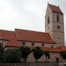
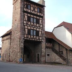
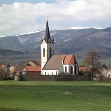
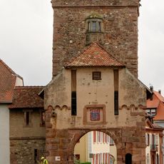
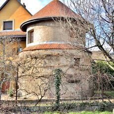
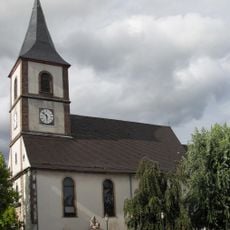
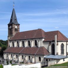
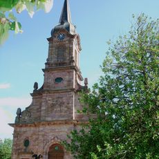
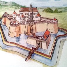
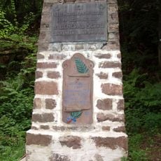
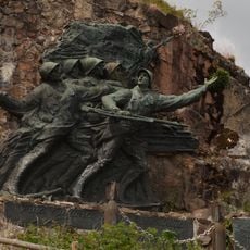
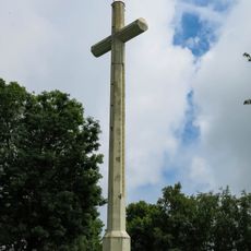
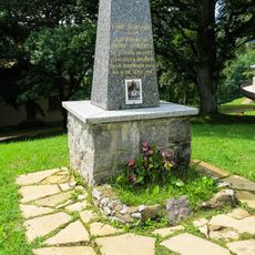
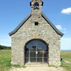
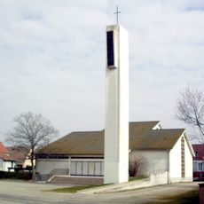
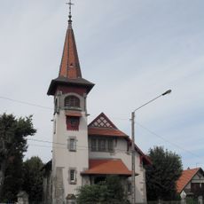
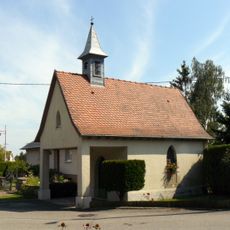
Wattwiller, commune in Haut-Rhin, France
Location: arrondissement of Thann-Guebwiller
Elevation above the sea: 523 m
Shares border with: Soultz-Haut-Rhin, Jungholtz, Berrwiller, Uffholtz, Willer-sur-Thur, Hartmannswiller, Wuenheim
Phone: +33389754276
Email: mairie@wattwiller.fr
Website: http://wattwiller.fr
GPS coordinates: 47.83639,7.18000
Latest update: June 3, 2025 00:23
Hartmannswillerkopf
3.1 km
Historial franco-allemand du Hartmannswillerkopf
3.3 km
Silberloch National Cemetery
3.3 km
Château d'Ollwiller
3.5 km
Molkenrain
4.2 km
Hartmannswillerkopf National Monument
3.3 km
Cascade de l'Erzenbach
4 km
Remparts de Cernay
3.2 km
Église Saint-Étienne, Cernay
3.1 km
Château du Herrenfluh
2.6 km
Église Saint Jean-Baptiste de Wattwiller
242 m
Porte de Thann, Cernay
3 km
Cimetière fortifié d'Hartmannswiller
4 km
Remparts de Cernay
3 km
Enceinte de Wattwiller
142 m
Church of Hartmannswiller
3.9 km
Église Sainte-Brigide-d'Irlande de Berrwiller
3.4 km
Église Saint-Morand, Steinbach
2.7 km
Église St Érasme
1.8 km
Château de Weckenthal
2.4 km
General Serret Memorial
2.6 km
152nd Infantry Regiment Memorial
2.8 km
Croix pour la Paix en Europe
3.1 km
Monument Scheurer
3.3 km
Chapelle Saint-Morand de Steinbach
2.4 km
Chapelle du Saint-Esprit de Cernay
3 km
Temple protestant de Cernay
3.1 km
Chapelle Notre-Dame de Birlingen
2.7 kmVisited this place? Tap the stars to rate it and share your experience / photos with the community! Try now! You can cancel it anytime.
Discover hidden gems everywhere you go!
From secret cafés to breathtaking viewpoints, skip the crowded tourist spots and find places that match your style. Our app makes it easy with voice search, smart filtering, route optimization, and insider tips from travelers worldwide. Download now for the complete mobile experience.
A unique approach to discovering new places❞
— Le Figaro
All the places worth exploring❞
— France Info
A tailor-made excursion in just a few clicks❞
— 20 Minutes