Enable Location

We need your location to show you interesting places around you

Discover nearby places

Find interesting locations and hidden gems around you

Precise directions

Get accurate directions and distances to places

Your location is never shared with other users. It's only used when you tap the location button.

Saint-Lary

Log in to your account

Start exploring — it's free

Trusted by 61,919 travelers worldwide

Continue with Google
Continue with Apple
or

We will send you a code to connect

By continuing, you accept our Terms and Conditions and our Privacy Policy

Check your inbox

We've sent a pincode in your inbox. Please enter the code below.

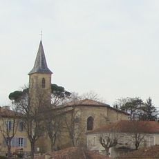
Saint-Lary, Rural commune in Gers, France.

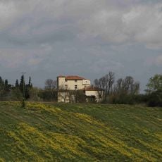
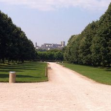
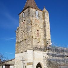
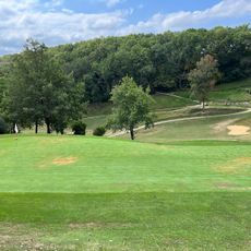
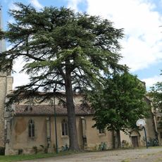
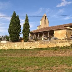
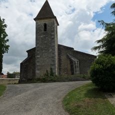
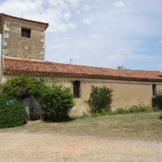
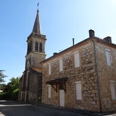
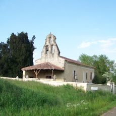
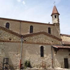
Saint-Lary spans 9.67 square kilometers at 202 meters elevation in the Gers department, featuring rolling agricultural landscapes, traditional stone architecture, and well-preserved archaeological remains from ancient Roman settlements.

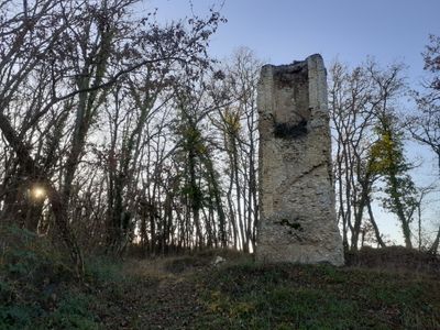
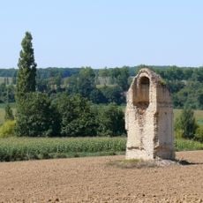
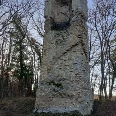
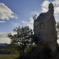
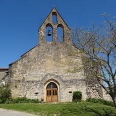
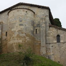
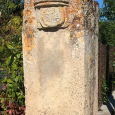
The commune traces its origins to Gallo-Roman times, evidenced by a classified Roman pile monument dating from antiquity, representing one of only eight surviving Roman structures in the Gers department.

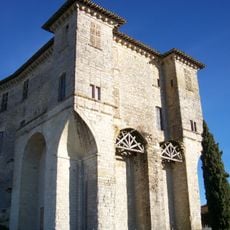
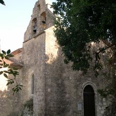
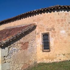
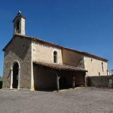
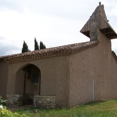
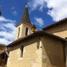
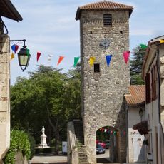
Saint-Lary maintains Gascon traditions through local festivals, cereal production heritage, and regional stone architecture that reflects centuries of southwestern French rural customs and agricultural practices.

The commune is accessible via departmental roads from Auch and provides essential services including a town hall, local businesses, and agricultural facilities that occasionally welcome visitors interested in rural heritage.

The village houses the burial site of the Bogdanoff brothers, French media personalities, and preserves an exceptionally well-maintained Gallo-Roman pile that attracts archaeology enthusiasts and ancient history researchers.

The community of curious travelers

AroundUs brings together thousands of curated places, local tips, and hidden gems, enriched daily by 60,000 contributors worldwide.

Start exploring
Location
Location
Elevation above the sea
202 m
Shares border with
Antras, Castillon-Massas, Castin, Jegun, Lavardens, Ordan-Larroque
Address
32360 Saint-Lary, France
Phone
GPS coordinates
43.72333,0.50000
Latest update
July 12, 2025 08:12
« Saint-Lary - Rural commune in Gers, France » is provided by Around Us (aroundus.com). Images and texts are derived from Wikimedia project under a Creative Commons license. You are allowed to copy, distribute, and modify copies of this page, under the conditions set by the license, as long as this note is clearly visible.

Discover hidden gems everywhere you go!

From secret cafés to breathtaking viewpoints, skip the crowded tourist spots and find places that match your style. Our app makes it easy with voice search, smart filtering, route optimization, and insider tips from travelers worldwide. Download now for the complete mobile experience.

Around Us App Screenshot

A unique approach to discovering new places

Le Figaro

All the places worth exploring

France Info

A tailor-made excursion in just a few clicks

20 Minutes

Around Us
Travel Guide & Maps
Download

Send to your phone

QR Code
1

Open the camera app on your mobile.

2

Point at the QR code with your camera. A notification will appear.

3

Tap the notification to open the link.