Enable Location

We need your location to show you interesting places around you

Discover nearby places

Find interesting locations and hidden gems around you

Precise directions

Get accurate directions and distances to places

Your location is never shared with other users. It's only used when you tap the location button.

Saint-Privat

Log in to your account

Start exploring — it's free

Trusted by 63,943 travelers worldwide

Continue with Google
Continue with Apple
or

We will send you a code to connect

By continuing, you accept our Terms and Conditions and our Privacy Policy

Check your inbox

We've sent a pincode in your inbox. Please enter the code below.

Discussion Reviews 1 Photos
4k Popularity

Saint-Privat, French commune in Corrèze, France

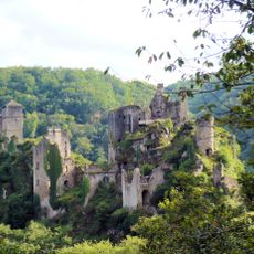
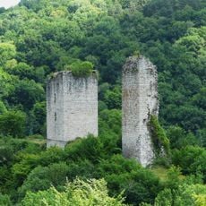
Saint-Privat covers 32.85 square kilometers at an average elevation of 552 meters above sea level, surrounded by forests and rolling hills that define the landscape of this south-central French region.

During the French Revolution, the commune was temporarily renamed Privat-Haute-Montagne and then Privat-le-Centre before returning to its original name, reflecting the political upheavals of that historical period.

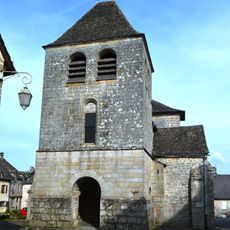
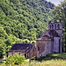
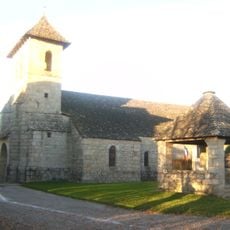
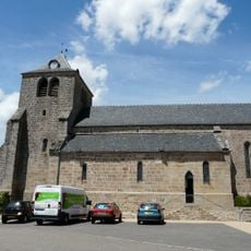
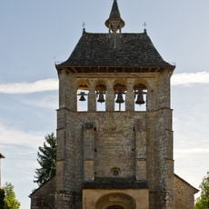
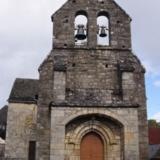
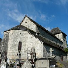
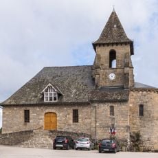
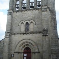
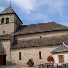
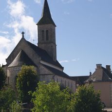
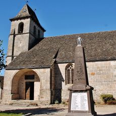
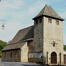
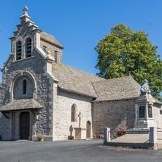
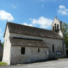
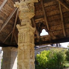
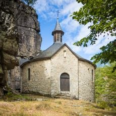
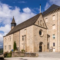
The Saint-Privat church serves as the spiritual heart of the commune with its traditional nave and porch, hosting religious festivals and local heritage events that strengthen community bonds throughout the year.

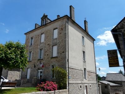
The town hall located at 3 rue des Écoles welcomes residents Monday through Friday from 8:30 AM to 12:00 PM and 1:30 PM to 6:00 PM, with an official website providing administrative and tourist information.

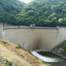
Saint-Privat features multiple streams including Ruisseau de Rivin and Ruisseau du Barbot that traverse its territory, creating a hydrographic network that supports local biodiversity and shapes the communal landscape.

The community of curious travelers

AroundUs brings together thousands of curated places, local tips, and hidden gems, enriched daily by 60,000 contributors worldwide.

Start exploring
Location
Elevation above the sea
552 m
Shares border with
Darazac, Saint-Cirgues-la-Loutre, Saint-Geniez-ô-Merle, Saint-Julien-aux-Bois, Servières-le-Château
Address
19220 Saint-Privat, France
Phone
GPS coordinates
45.13833,2.09889
Latest update
September 22, 2025 10:42
Reviews
Share your experience

No review yet

Discussions
Start a discussion...

No discussion yet

« Saint-Privat - French commune in Corrèze, France » is provided by Around Us (aroundus.com). Images and texts are derived from Wikimedia project under a Creative Commons license. You are allowed to copy, distribute, and modify copies of this page, under the conditions set by the license, as long as this note is clearly visible.

Discover hidden gems everywhere you go!

From secret cafés to breathtaking viewpoints, skip the crowded tourist spots and find places that match your style. Our app makes it easy with voice search, smart filtering, route optimization, and insider tips from travelers worldwide. Download now for the complete mobile experience.

Around Us App Screenshot

A unique approach to discovering new places

Le Figaro

All the places worth exploring

France Info

A tailor-made excursion in just a few clicks

20 Minutes

Around Us
Travel Guide & Maps
Download

Send to your phone

QR Code
1

Open the camera app on your mobile.

2

Point at the QR code with your camera. A notification will appear.

3

Tap the notification to open the link.