Enable Location

We need your location to show you interesting places around you

Discover nearby places

Find interesting locations and hidden gems around you

Precise directions

Get accurate directions and distances to places

Your location is never shared with other users. It's only used when you tap the location button.

Gatteville-le-Phare

Log in to your account

Start exploring — it's free

Trusted by 61,380 travelers worldwide

Continue with Google
Continue with Apple
or

We will send you a code to connect

By continuing, you accept our Terms and Conditions and our Privacy Policy

Check your inbox

We've sent a pincode in your inbox. Please enter the code below.

Gatteville-le-Phare

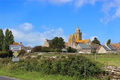
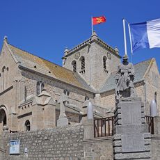
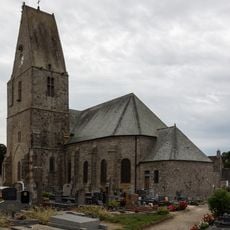
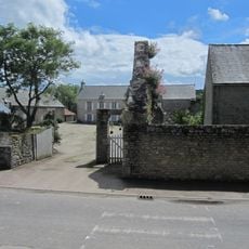
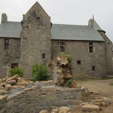
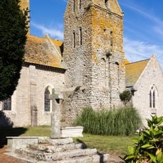
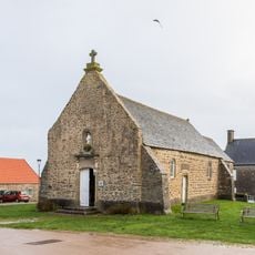
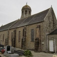
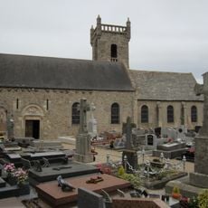
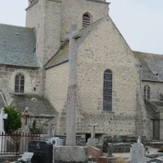
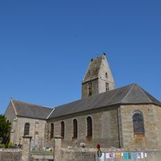
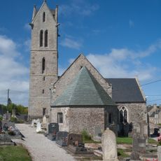
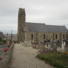
Gatteville-le-Phare, commune in Manche, France

Description

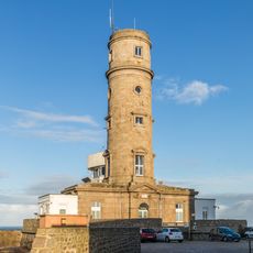
Gatteville-le-Phare is a small commune in Normandy on the Manche coast. The village is dominated by an impressive lighthouse built from roughly 11,000 hand-cut granite blocks stacked into a solid cylindrical tower.

History

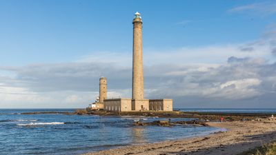
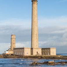
The lighthouse was built between 1829 and 1834 to guide ships through the English Channel and warn sailors of coastal dangers. Since its completion, it has continuously served as a navigation aid and remains operational today.

Culture

The village takes its name from the lighthouse that has defined its identity since the 19th century and remains central to local life. Residents maintain a deep connection to maritime heritage, visible in how they speak about their home and the role the tower plays in their daily surroundings.

Practical

Access to the lighthouse is via a long pier, with a stairway of 365 steps to the top that takes roughly ten minutes to climb. Strong winds or storms close the tower for safety reasons, making calm weather the best time to visit.

Did you know?

The lighthouse stands 75 meters tall, making it the second-highest in France, with its light beam visible from far across the water. From the observation platform at the summit, visitors overlook the Val de Saire and vast sea, creating a sense of standing at the edge of the world.

Location
Location
communauté d'agglomération du Cotentin
Elevation above the sea
12 m
Shares border with
Barfleur, Montfarville, Sainte-Geneviève, Tocqueville, Vicq-sur-Mer
Address
50760 Gatteville-le-Phare, France
Phone
GPS coordinates
49.68611,-1.28361
Latest update
December 22, 2025 07:49

AroundUs brings together thousands of curated places, local tips, and hidden gems, enriched daily by 60,000 contributors worldwide. Discover all places nearby (canton of Saint-Pierre-Église).

« Gatteville-le-Phare - commune in Manche, France » is provided by Around Us (aroundus.com). Images and texts are derived from Wikimedia project under a Creative Commons license. You are allowed to copy, distribute, and modify copies of this page, under the conditions set by the license, as long as this note is clearly visible.

Discover hidden gems everywhere you go!

From secret cafés to breathtaking viewpoints, skip the crowded tourist spots and find places that match your style. Our app makes it easy with voice search, smart filtering, route optimization, and insider tips from travelers worldwide. Download now for the complete mobile experience.

Around Us App Screenshot

A unique approach to discovering new places

Le Figaro

All the places worth exploring

France Info

A tailor-made excursion in just a few clicks

20 Minutes

Around Us
Travel Guide & Maps
Download

Send to your phone

QR Code
1

Open the camera app on your mobile.

2

Point at the QR code with your camera. A notification will appear.

3

Tap the notification to open the link.