Canal d'Orléans, Historic waterway in Centre-Val de Loire, France
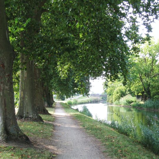
The Canal d'Orléans is a waterway in central France that links two river systems together across multiple kilometers. The structure includes numerous locks and mechanical installations that raise and lower water levels for boat passage.
The canal was built in the late 1600s to carry timber from forest regions to markets. This project was a major engineering effort for its time and permanently changed the region's trade routes.
The canal takes its name from the Dukes of Orléans, who owned it before the Republic acquired the domain in April 1793, shortly before the last duke was guillotined. Its first section was dug from 1676 by Robert Mahieu, a timber merchant, to float wood and coal. Since 23 May 2025 a greenway runs along the banks.
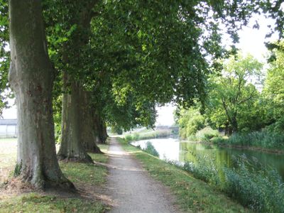
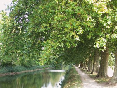
The waterway can be explored on foot or by bicycle along a towpath that runs the entire length. The flat terrain makes it easy to explore at your own pace without special equipment or fitness requirements.
The canal's highest point is the 18.93 km summit pound at 124 m, reached by a 95 m climb from the Loire side and a 41 m drop toward the Seine. Water is supplied by ponds and reservoirs, notably the Noue Mazone, and pumping stations draw from the Loire. The sharp right angle at Vieilles-Maisons-sur-Joudry marks where the canal joins Robert Mahieu's original 1676 ditch.
The community of curious travelers
AroundUs brings together thousands of curated places, local tips, and hidden gems, enriched daily by 95,295 contributors worldwide.