Enable Location

We need your location to show you interesting places around you

Discover nearby places

Find interesting locations and hidden gems around you

Precise directions

Get accurate directions and distances to places

Your location is never shared with other users. It's only used when you tap the location button.

Salers

Log in to your account

Start exploring — it's free

Trusted by 61,956 travelers worldwide

Continue with Google
Continue with Apple
or

We will send you a code to connect

By continuing, you accept our Terms and Conditions and our Privacy Policy

Check your inbox

We've sent a pincode in your inbox. Please enter the code below.

Salers, Medieval commune in Cantal, France

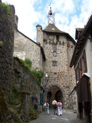
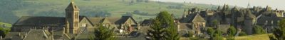
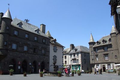
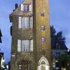
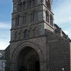
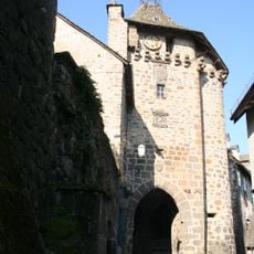
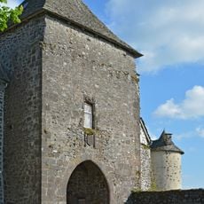
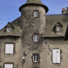
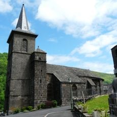
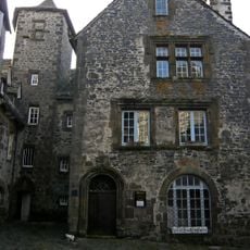
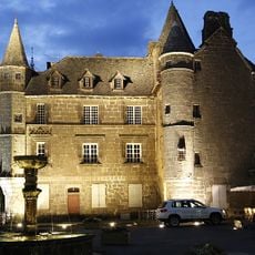
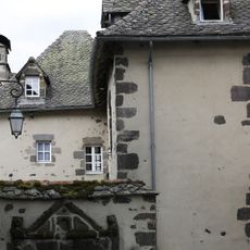
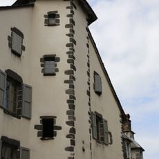
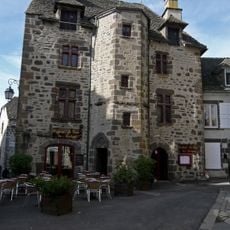
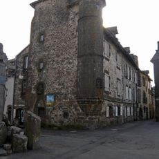
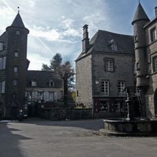
Salers is a commune in the Auvergne highlands in central France, situated on steep hills and encircled by stone walls. Its streets wind through clusters of dark stone buildings, small squares, and medieval passageways that define its character.

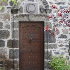
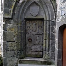
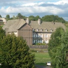
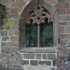
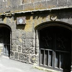
The settlement developed in the Middle Ages and preserved its original architecture and street layout over centuries, making it rare in this form. Its stone buildings and defensive features date to this period and were maintained across generations.

The village is known for a traditional cheese made from cow's milk using methods passed down locally, which remains central to its identity. This artisanal production shapes daily life and economic activity here today.

The village sits on a hillside with limited flat areas, so comfortable footwear is important when exploring the steep streets. There are small shops and a cheese dairy to visit, and it works best outside the main summer tourist season.

The village appears on the list of the most beautiful villages of France, recognition it earned among hundreds of contenders. This selection is not automatic but follows strict criteria about architecture, preservation, and the overall character of the place.

The community of curious travelers

AroundUs brings together thousands of curated places, local tips, and hidden gems, enriched daily by 60,000 contributors worldwide.

Start exploring
Location
Location
Elevation above the sea
963 m
Shares border with
Saint-Bonnet-de-Salers, Saint-Paul-de-Salers
Address
15140 Salers, France
Phone
GPS coordinates
45.13806,2.49417
Latest update
December 20, 2025 02:19
« Salers - Medieval commune in Cantal, France » is provided by Around Us (aroundus.com). Images and texts are derived from Wikimedia project under a Creative Commons license. You are allowed to copy, distribute, and modify copies of this page, under the conditions set by the license, as long as this note is clearly visible.

Discover hidden gems everywhere you go!

From secret cafés to breathtaking viewpoints, skip the crowded tourist spots and find places that match your style. Our app makes it easy with voice search, smart filtering, route optimization, and insider tips from travelers worldwide. Download now for the complete mobile experience.

Around Us App Screenshot

A unique approach to discovering new places

Le Figaro

All the places worth exploring

France Info

A tailor-made excursion in just a few clicks

20 Minutes

Around Us
Travel Guide & Maps
Download

Send to your phone

QR Code
1

Open the camera app on your mobile.

2

Point at the QR code with your camera. A notification will appear.

3

Tap the notification to open the link.