
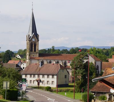
Frahier-et-Chatebier, commune in Haute-Saône, France
Location: canton of Champagney
Location: Haute-Saône
Location: arrondissement of Lure
Elevation above the sea: 395 m
Shares border with: Plancher-Bas, Chagey, Châlonvillars, Champagney, Chenebier, Échavanne, Errevet, Évette-Salbert
Phone: +33384273114
Email: mairiefrahier@wanadoo.fr
Website: https://frahieretchatebier.fr
GPS coordinates: 47.66028,6.74750
Latest update: June 19, 2025 15:13
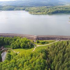
Bassin de Champagney
2.9 km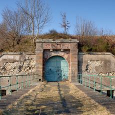
Fort du Salbert
4.9 km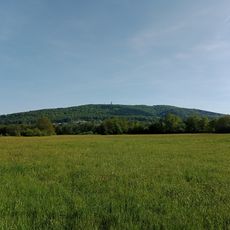
Salbert
4.9 km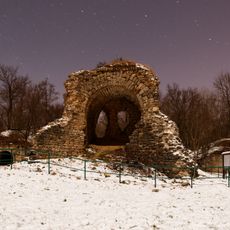
Ouvrage "G" de la D.A.T.
5.4 km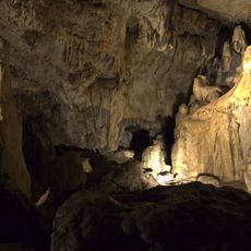
Grottes de Cravanche
5.9 km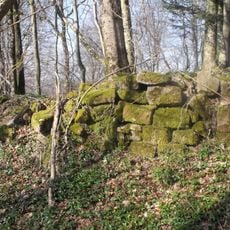
Château d'Étobon
5.6 km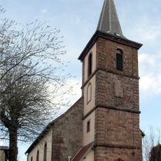
Église Saint-Léger d'Essert
6 km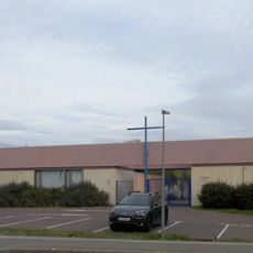
Ancienne église Saint-Louis de Belfort
7.4 km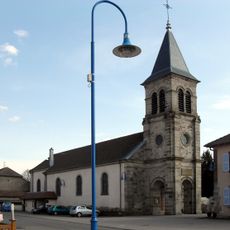
Église de Évette-Salbert
4.2 km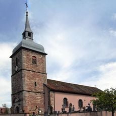
Église de Buc
5.8 km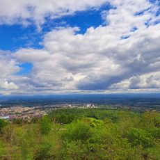
Le Salbert
4.9 km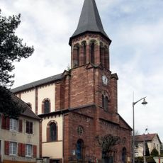
Église Saint-Ambroise de Bavilliers
7.8 km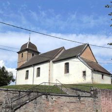
Temple protestant de Chagey
5.4 km
Église Sainte-Radegonde de Châlonvillars
3.6 km
Chapelle Notre-Dame-du-Vœu d'Essert
6.3 km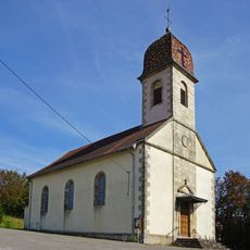
Église de l'Assomption de Chenebier
3 km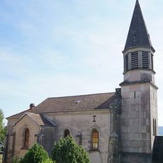
Église Saint-Martin de Chagey
5.4 km
Pont-canal de Frahier
893 m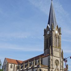
Église Saint-Valbert de Frahier-et-Chatebier
132 m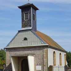
Chapelle d'Errevet
3.2 km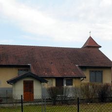
Chapelle Notre-Dame-de-la-Sainte-Espérance de Cravanche
6.6 km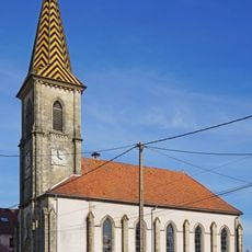
Temple d'Étobon
5.7 km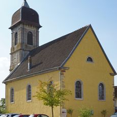
Temple protestant
6.5 km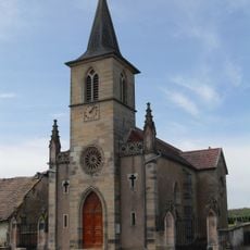
Église de l'Assomption-de-la-Vierge-Marie
5.9 km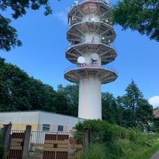
Tour hertzienne TDF du Salbert
4.9 km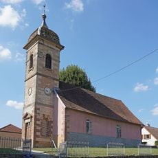
Temple protestant de Couthenans
7.9 km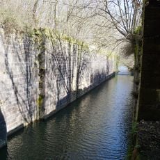
Écluse du Beuveroux
6.1 km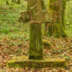
Croix des femmes
4.8 kmReviews
Visited this place? Tap the stars to rate it and share your experience / photos with the community! Try now! You can cancel it anytime.
Discover hidden gems everywhere you go!
From secret cafés to breathtaking viewpoints, skip the crowded tourist spots and find places that match your style. Our app makes it easy with voice search, smart filtering, route optimization, and insider tips from travelers worldwide. Download now for the complete mobile experience.

A unique approach to discovering new places❞
— Le Figaro
All the places worth exploring❞
— France Info
A tailor-made excursion in just a few clicks❞
— 20 Minutes