Enable Location

We need your location to show you interesting places around you

Discover nearby places

Find interesting locations and hidden gems around you

Precise directions

Get accurate directions and distances to places

Your location is never shared with other users. It's only used when you tap the location button.

Chaussée Jules César

Log in to your account

Start exploring — it's free

Trusted by 61,320 travelers worldwide

Continue with Google
Continue with Apple
or

We will send you a code to connect

By continuing, you accept our Terms and Conditions and our Privacy Policy

Check your inbox

We've sent a pincode in your inbox. Please enter the code below.

Chaussée Jules César

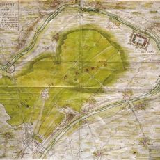
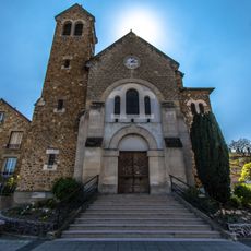
Chaussée Jules César, Roman road between Paris and Rouen, France

Description

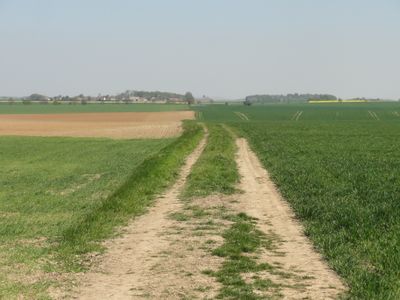
Chaussée Jules César is a Roman road connecting Paris and Rouen, featuring a carefully engineered stone foundation that once supported regular postal and commercial traffic between major settlements. Selected sections of this ancient route have been converted into marked hiking trails that visitors can explore today.

History

Marcus Vipsanius Agrippa initiated construction of this road in the first century as part of the Roman Empire's transportation network across Gaul. Later, Emperor Julian restored the route, underlining its ongoing importance for trade and communication across the region.

Culture

The road's name reflects a medieval misunderstanding, as it was actually restored under Emperor Julian rather than built by Julius Caesar himself. Yet locals and travelers alike associate it with Rome's greatest general, showing how history shapes collective memory.

Practical

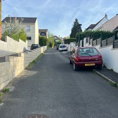
Visitors can explore selected ancient sections on marked hiking trails, while the modern National Route 14 follows much of the original path. For longer distances, plan multi-day walks and be aware of changing seasonal conditions in the region.

Did you know?

Archaeological excavations have revealed a network of inns and postal relay stations spaced roughly 15 kilometers apart, enabling messages to be delivered between the two cities in a single day. This infrastructure demonstrates how Romans engineered an efficient logistics system for rapid communication across long distances.

GPS coordinates
49.00893,2.19883
Latest update
December 10, 2025 16:30

AroundUs brings together thousands of curated places, local tips, and hidden gems, enriched daily by 60,000 contributors worldwide. Discover all places nearby (France).

« Chaussée Jules César - Roman road between Paris and Rouen, France » is provided by Around Us (aroundus.com). Images and texts are derived from Wikimedia project under a Creative Commons license. You are allowed to copy, distribute, and modify copies of this page, under the conditions set by the license, as long as this note is clearly visible.

Discover hidden gems everywhere you go!

From secret cafés to breathtaking viewpoints, skip the crowded tourist spots and find places that match your style. Our app makes it easy with voice search, smart filtering, route optimization, and insider tips from travelers worldwide. Download now for the complete mobile experience.

Around Us App Screenshot

A unique approach to discovering new places

Le Figaro

All the places worth exploring

France Info

A tailor-made excursion in just a few clicks

20 Minutes

Around Us
Travel Guide & Maps
Download

Send to your phone

QR Code
1

Open the camera app on your mobile.

2

Point at the QR code with your camera. A notification will appear.

3

Tap the notification to open the link.