
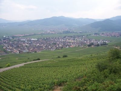
Sigolsheim, former commune in Haut-Rhin, France
Location: canton of Kaysersberg
Location: Upper Alsace
Location: arrondissement of Colmar-Ribeauvillé
Elevation above the sea: 401 m
Shares border with: Ammerschwihr, Kientzheim, Mittelwihr, Bennwihr, Colmar
GPS coordinates: 48.13444,7.30083
Latest update: June 14, 2025 02:16
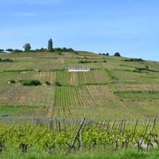
Mambourg
572 m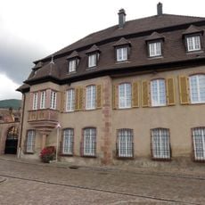
Château de Reichenstein
1.3 km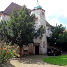
Château des Ifs
1 km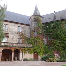
Château de Lupfen-Schwendi
1.1 km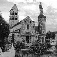
Église Saint-Pierre-et-Saint-Paul de Sigolsheim
7 m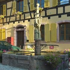
Fontaine gothique
3.3 km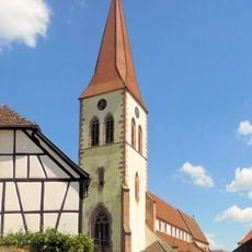
Église Saint-Martin d'Ammerschwihr
1.6 km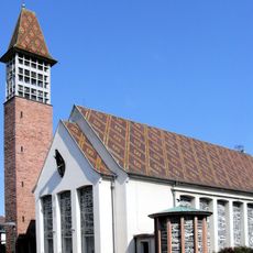
Église Saints-Pierre-et-Paul
2.1 km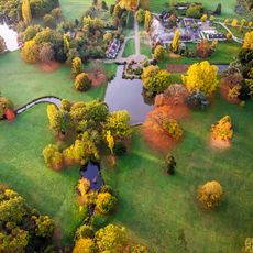
Parc de Schoppenwihr
4.5 km
Domaine du Bouxhof, Mittelwihr
2 km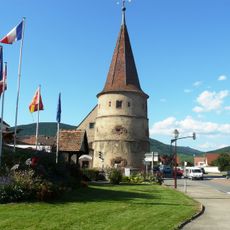
Tour des fripons
1.5 km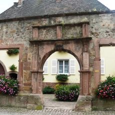
Ancien hôtel de ville
1.8 km
Chapelle Sainte-Anne de Sigolsheim
380 m
Monument aux morts (Bennwihr)
2.1 km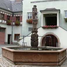
Fontaine de l'Homme sauvage (Ammerschwihr)
1.7 km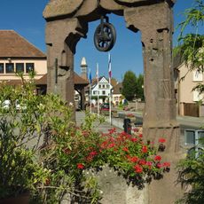
Puits 16ème siècle
2 km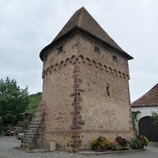
Tour des Bourgeois
1.9 km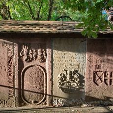
Pierres tombales près de l'église protestante (Beblenheim)
3.2 km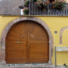
Maison au 20, Grand-Rue à Ammerschwihr
1.9 km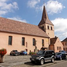
Église Notre-Dame-des-Sept-Douleurs de Kientzheim
1.2 km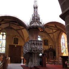
Pulpit of Église Saint-Martin d'Ammerschwihr
1.6 km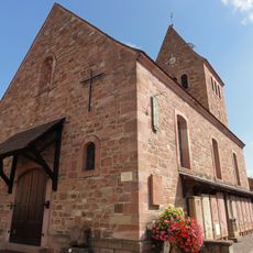
Chapelle Saints-Félix-et-Régule de Kientzheim
1 km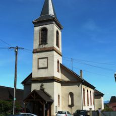
Église Saint-Sébastien
3.2 km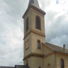
Église Saint-Martin de Beblenheim
3.4 km
Église protestante de Mittelwihr
2.4 km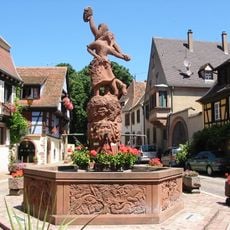
Fontaine Schwendi
1 km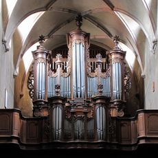
Orgue de tribune de l'église Saint-Martin d'Ammerschwihr
1.6 km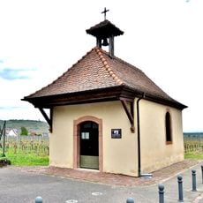
Chapelle Saint-Éloi
1.4 kmReviews
Visited this place? Tap the stars to rate it and share your experience / photos with the community! Try now! You can cancel it anytime.
Discover hidden gems everywhere you go!
From secret cafés to breathtaking viewpoints, skip the crowded tourist spots and find places that match your style. Our app makes it easy with voice search, smart filtering, route optimization, and insider tips from travelers worldwide. Download now for the complete mobile experience.

A unique approach to discovering new places❞
— Le Figaro
All the places worth exploring❞
— France Info
A tailor-made excursion in just a few clicks❞
— 20 Minutes