Enable Location

We need your location to show you interesting places around you

Discover nearby places

Find interesting locations and hidden gems around you

Precise directions

Get accurate directions and distances to places

Your location is never shared with other users. It's only used when you tap the location button.

Villefranche-de-Lauragais

Log in to your account

Start exploring — it's free

Trusted by 62,471 travelers worldwide

Continue with Google
Continue with Apple
or

We will send you a code to connect

By continuing, you accept our Terms and Conditions and our Privacy Policy

Check your inbox

We've sent a pincode in your inbox. Please enter the code below.

Villefranche-de-Lauragais

Villefranche-de-Lauragais, Administrative commune in Haute-Garonne, France

Villefranche-de-Lauragais is a French commune in Haute-Garonne set amid fertile farmland near Toulouse. The settlement centers on a compact village core with surrounding agricultural land and residential areas that have grown over the past decades.

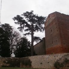
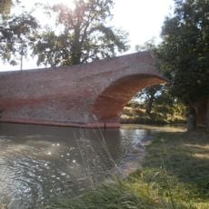
The settlement developed as part of the Lauragais region, a historically important agricultural area southwest of Toulouse with medieval origins. It grew gradually over centuries as a small market town serving the surrounding farming communities.

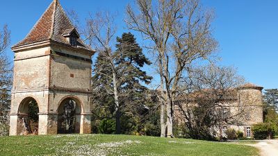
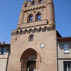
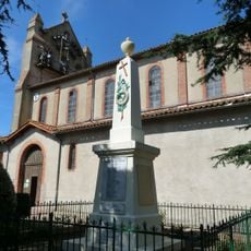
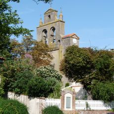
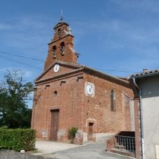
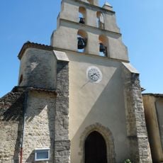
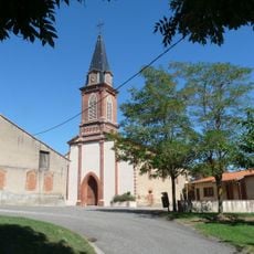
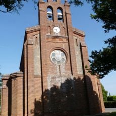
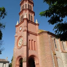
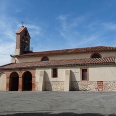
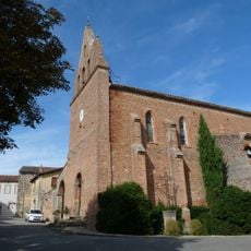
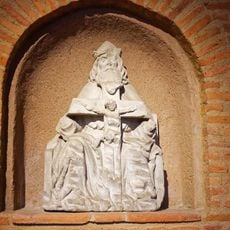
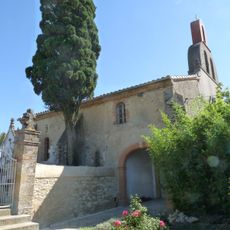
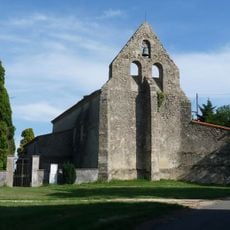
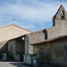
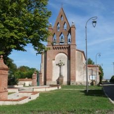
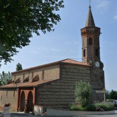
The church at the town center stands out with its distinctive bell tower, marking the religious heart of the community. The square around it serves as a gathering place where locals and visitors naturally pause.

The town is served by rail connections linking it to Toulouse and other regional centers, making it easy to reach by train. Visitors can explore the surrounding farmland and countryside on foot or by car from this central point.

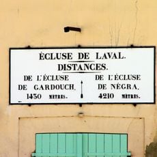
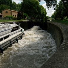
The town sits along a major transport corridor between Toulouse and Montpellier, making it a practical junction for regional movement. Few visitors realize how this location shaped its role as a working center rather than a tourist destination.

The community of curious travelers

AroundUs brings together thousands of curated places, local tips, and hidden gems, enriched daily by 60,000 contributors worldwide.

Start exploring
Location
Elevation above the sea
175 m
Industry
administration publique générale
Shares border with
Montgaillard-Lauragais, Avignonet-Lauragais, Gardouch, Renneville, Saint-Rome, Vallègue
Address
31290 Villefranche-de-Lauragais, France
Phone
GPS coordinates
43.39972,1.71806
Latest update
December 7, 2025 19:26
« Villefranche-de-Lauragais - Administrative commune in Haute-Garonne, France » is provided by Around Us (aroundus.com). Images and texts are derived from Wikimedia project under a Creative Commons license. You are allowed to copy, distribute, and modify copies of this page, under the conditions set by the license, as long as this note is clearly visible.

Discover hidden gems everywhere you go!

From secret cafés to breathtaking viewpoints, skip the crowded tourist spots and find places that match your style. Our app makes it easy with voice search, smart filtering, route optimization, and insider tips from travelers worldwide. Download now for the complete mobile experience.

Around Us App Screenshot

A unique approach to discovering new places

Le Figaro

All the places worth exploring

France Info

A tailor-made excursion in just a few clicks

20 Minutes

Around Us
Travel Guide & Maps
Download

Send to your phone

QR Code
1

Open the camera app on your mobile.

2

Point at the QR code with your camera. A notification will appear.

3

Tap the notification to open the link.