
Mespaul, commune in Finistère, France
Location: Finistère
Location: arrondissement of Morlaix
Elevation above the sea: 54 m
Shares border with: Plouénan, Plougoulm, Plouvorn, Plouzévédé, Trézilidé
Phone: +33298615703
Email: mairie@mespaul.bzh
GPS coordinates: 48.61833,-4.02472
Latest update: May 28, 2025 08:20
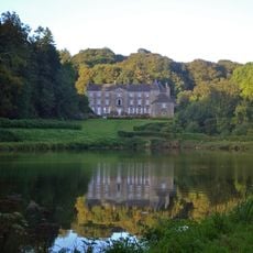
Château de Troërin
5.1 km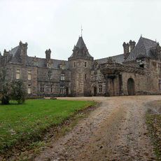
Château de Keruzoret
3.1 km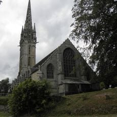
Chapelle Notre-Dame de Lambader
5.3 km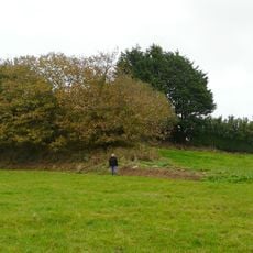
Tumulus of Kernonen
3.9 km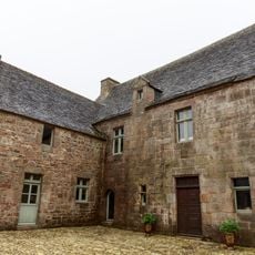
Manoir de Creac'h-Ingar
5.9 km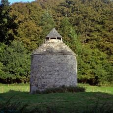
Colombier du Château de Troërin
5.3 km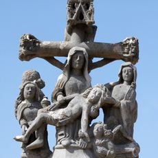
Cimetière de Plougoulm
5.4 km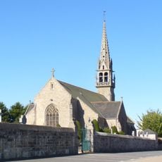
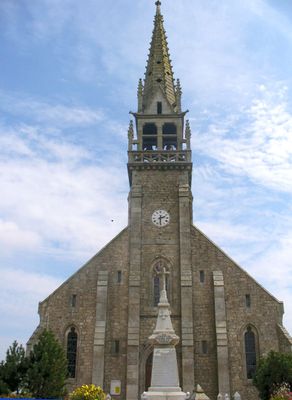
Église Saint-Éloi de Mespaul
265 m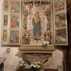
Tree of Jesse in Notre-Dame-de-Berven
6.7 km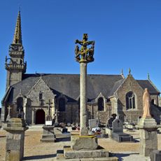
Église Saint-Colomban de Plougoulm
5.4 km
Église Saint-Léonor de Tréflaouénan
5.4 km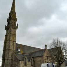
Église Saint-Pierre de Plouvorn
4.5 km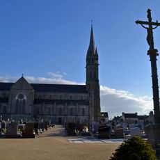
Église Saint-Pierre de Plouénan
2.7 km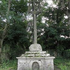
Croas ar Vossen
1.5 km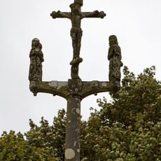
Calvaire de la chapelle Sainte-Catherine de Mespaul
2.4 km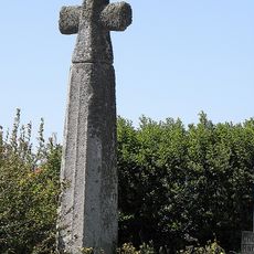
Kroaz-Méan
4 km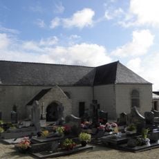
Église Saint-Péran de Trézilidé
4.7 km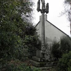
Croaz Lambader (Plougourvest)
5.1 km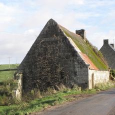
Moulin de Ramblouc'h
3.9 km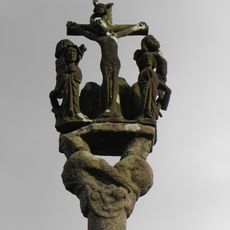
Croas Ar Rest
1.3 km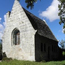
Ancien ossuaire de Mespaul
479 m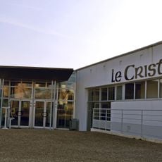
Le Cristal
2.7 km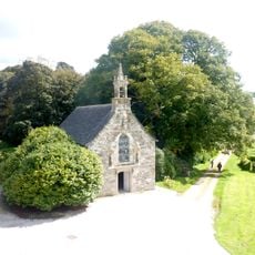
Chapelle Saint-Trémeur de Keruzoret
3.1 km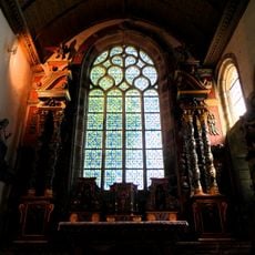
Retable du maître-autel
6.7 km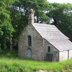
Chapelle Sainte-Anne de Traon Meur
5.2 km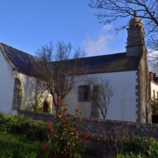
Chapelle Notre-Dame de Kerellon
2.9 km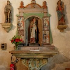
Retable de Saint-Éloi
6.7 km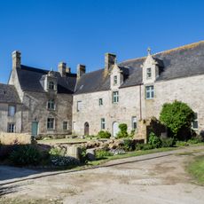
Manoir de Kermorus
5 kmReviews
Visited this place? Tap the stars to rate it and share your experience / photos with the community! Try now! You can cancel it anytime.
Discover hidden gems everywhere you go!
From secret cafés to breathtaking viewpoints, skip the crowded tourist spots and find places that match your style. Our app makes it easy with voice search, smart filtering, route optimization, and insider tips from travelers worldwide. Download now for the complete mobile experience.

A unique approach to discovering new places❞
— Le Figaro
All the places worth exploring❞
— France Info
A tailor-made excursion in just a few clicks❞
— 20 Minutes