Aquitaine Basin, Sedimentary basin in southwestern France
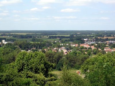
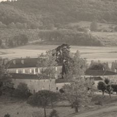
The Aquitaine Basin is a funnel-shaped plain in southwestern France that opens toward the Atlantic Ocean with a gently sloping floor. It is filled with layers of sedimentary rock accumulated over millions of years, creating the flat landscape you see today.
The basin's geological formation started in the early Triassic period and continued with the buildup of marine sediments during later periods. Over time, these layered deposits created the foundation for the landscape and soil we see today.
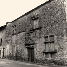
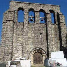
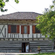
The region has been shaped by farming and wine production for centuries, with these practices deeply woven into how people live and work here. Vineyards and grain fields define the landscape and remain central to local life.
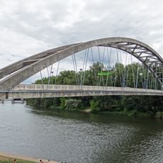
The basin is well connected by highway networks that link towns and rural areas across the region. The flat terrain makes travel and navigation straightforward for visitors moving through the landscape.
Below the surface lie significant oil and gas deposits that have fueled regional energy production for decades. Deeper layers also hold freshwater reserves that supply drinking water to millions of people.
Part of: Eurasian Plate
Shares border with: Pyrenees, Massif Central, Bay of Biscay, Seuil de Naurouze
GPS coordinates: 44.50000,0.50000
Latest update: December 7, 2025 20:45
Château de Roquepiquet
6.9 km
Château de Verteuil
7.8 km
Château de Saint-Pastour
8 km
Château du Rodier
6.6 km
Pont sur le Lot de Castelmoron-sur-Lot
11.6 km
Manoir Cabirol
8 km
Église Saint-Pierre de Tourtrès
5.8 km
Église Saint-Pierre de Casseneuil
11.3 km
Église Saint-Clair de Monclar
6.3 km
Église Saint-Pastour de Saint-Pastour
8.1 km
Église Saint-Jean d'Aygues Vives
10.4 km
Église Saint-Pierre de Cabannes
1.8 km
Église Saint-Férreol de Lentignac
7.6 km
Église Saint-Pierre-de-la-Croix de Montastruc
1.5 km
Halle de Saint-Pastour
8 km
Golf de Barthe
3.1 km
Église Saint-Vincent de Ségalas
10 km
Église Notre-Dame de Monbahus
6.1 km
Église Saint-Hilaire de Castelmoron-sur-Lot
11.4 km
Église Saint-Eutrope de Verteuil-d'Agenais
7.7 km
Église Saint-Martial de Cancon
10.8 km
Église Sainte-Madeleine de Sermet
8.9 km
Église Notre-Dame de Pinel
8.7 km
Église Saint-Jean dite église de Lasbardes de Moulinet
8 km
Château Solar
11.5 km
Chapelle de l'école puis de l'hospice des sœurs de la Visitation de la Vierge de Cancon
10.9 km
Maisons à empilage du Nord-Agenais
315 m
Enceinte de Saint-Pastour
8 kmVisited this place? Tap the stars to rate it and share your experience / photos with the community! Try now! You can cancel it anytime.
Discover hidden gems everywhere you go!
From secret cafés to breathtaking viewpoints, skip the crowded tourist spots and find places that match your style. Our app makes it easy with voice search, smart filtering, route optimization, and insider tips from travelers worldwide. Download now for the complete mobile experience.
A unique approach to discovering new places❞
— Le Figaro
All the places worth exploring❞
— France Info
A tailor-made excursion in just a few clicks❞
— 20 Minutes