
Chastanier, commune in Lozère, France
Location: Lozère
Location: Arrondissement of Mende
Elevation above the sea: 952 m
Industry: administration publique générale
Shares border with: Auroux, Naussac, Rocles, Pierrefiche, Saint-Jean-la-Fouillouse, Naussac-Fontanes
Phone: +33466695070
Email: chastanier.mairie@orange.fr
GPS coordinates: 44.72528,3.75472
Latest update: March 14, 2025 06:54

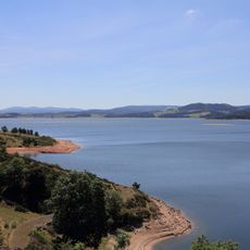
Lac de Naussac
4.2 km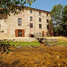
Filature des Calquières
8 km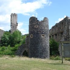
Château de Jonchères
8 km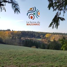
Manoir du Mazonric
8.3 km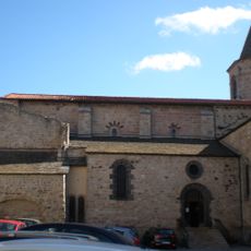
Église Saint-Gervais-Saint-Protais de Langogne
8 km
Église Saint-Clément de Pradelles
8.9 km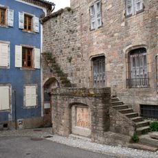
Pradelles - Porte de la verdette
11.2 km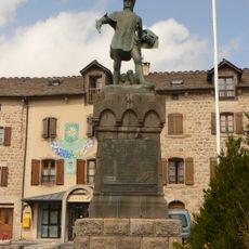
Musée du Guesclin
11.3 km
Tour de Rochely
11.2 km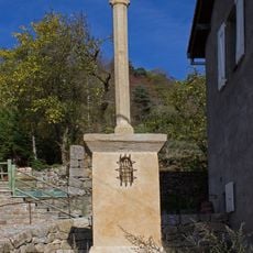
Croix de Briges
5.4 km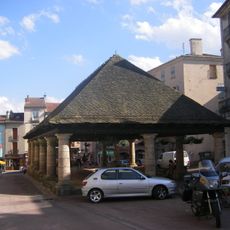
Halles de Langogne
7.9 km
Maison, rue Basse-Cour
11.1 km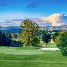
Golf du Gévaudan - Domaine de Barres
5.7 km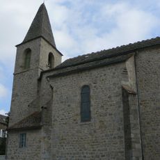
Église Saint-Étienne de Châteauneuf-de-Randon
11.3 km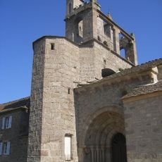
Église de Chaudeyrac
7.4 km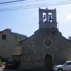
Église Notre-Dame-de-l'Assomption de Cheylard-l'Évêque
9.4 km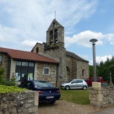
Église Saint-Roch de Saint-Flour-de-Mercoire
6.6 km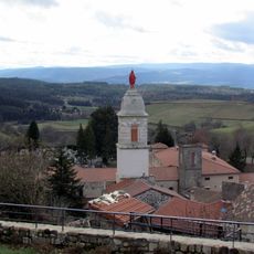
Chapelle Notre-Dame de Pradelles
11.2 km
Église de l'Assomption de Rauret
10.7 km
Statue of Bertrand du Guesclin
11.3 km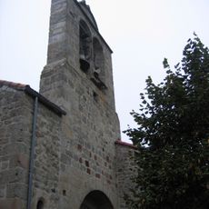
Église Saint-Julien de Fontanes
5.6 km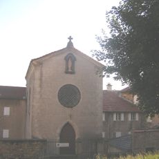
Chapelle du couvent Notre-Dame de Pradelles
11.1 km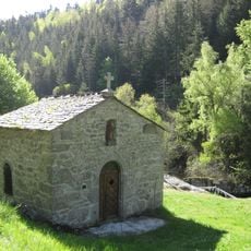
Chapelle Saint-Méen de Grandrieu
11.6 km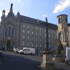
Chapelle Notre-Dame de Langogne
7.9 km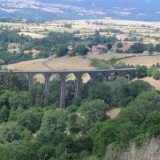
Arquejols Viaduct
10.9 km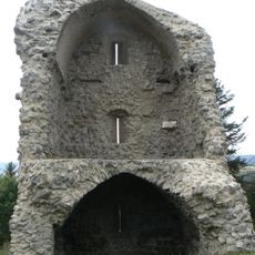
Tour des Anglais
11.2 km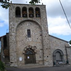
Rauret war memorial
10.7 km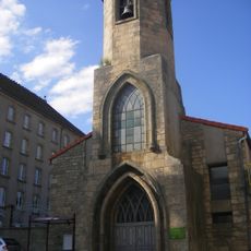
Chapelle des Pénitents de Langogne
7.9 kmVisited this place? Tap the stars to rate it and share your experience / photos with the community! Try now! You can cancel it anytime.
Discover hidden gems everywhere you go!
From secret cafés to breathtaking viewpoints, skip the crowded tourist spots and find places that match your style. Our app makes it easy with voice search, smart filtering, route optimization, and insider tips from travelers worldwide. Download now for the complete mobile experience.

A unique approach to discovering new places❞
— Le Figaro
All the places worth exploring❞
— France Info
A tailor-made excursion in just a few clicks❞
— 20 Minutes