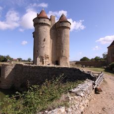
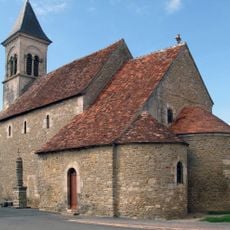
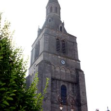
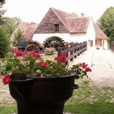
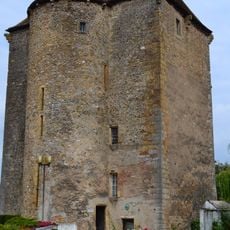
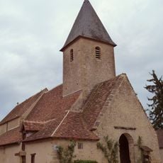
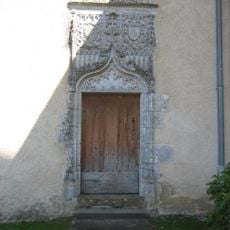
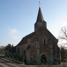
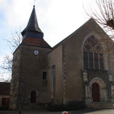
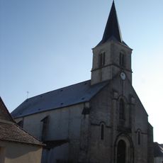
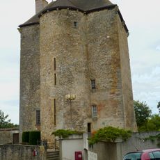
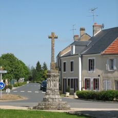
Saint-Chartier, commune in Indre, France
Location: Indre
Location: arrondissement of la Châtre
Elevation above the sea: 241 m
Shares border with: La Berthenoux, Montipouret, Nohant-Vic, Saint-Août, Verneuil-sur-Igneraie
Phone: +33254310251
Email: mairie.saintchartier@orange.fr
GPS coordinates: 46.64972,1.97722
Latest update: June 16, 2025 04:27
House of George Sand
2.7 km
Château de Sarzay
7.7 km
Château d'Ars
5.7 km
Château de Saint-Chartier
296 m
Église Saint-Martin de Vic
1.8 km
Église Saint-Germain de La Châtre
7.7 km
House, 4 place Laisnel-de-la-Salle, La Châtre
7.6 km
Église Sainte-Anne de Nohant
2.7 km
Moulin d'Angibault
6 km
Église Notre-Dame de La Berthenoux
6.5 km
Lycée George-Sand
7.4 km
Château de La Châtre
7.6 km
Église Saint-Laurent de Lourouer-Saint-Laurent
4 km
Fontaine Sainte Radegonde
7.6 km
Chapelle Barbault de Saint-Chartier
322 m
Église Saint-Martin de Montipouret
5.9 km
Prieuré de Cosnay
7.9 km
Théâtre de George Sand
2.8 km
Église Saint-Hilaire de Verneuil-sur-Igneraie
2.7 km
Musée George Sand et de la Vallée Noire
7.7 km
Église Saint-Chartier de Saint-Chartier
238 m
Église Saint-Août de Saint-Août
9.1 km
Musée George Sand et de la Vallée Noire
7.6 km
Église Saint-Pierre de Sarzay
7.8 km
Monument à George Sand
7.6 km
Église Saint-Julien de Thevet-Saint-Julien
7.2 km
Église Saint-Martin de Mers-sur-Indre
7.3 km
Croix de Montipouret
5.8 kmReviews
Visited this place? Tap the stars to rate it and share your experience / photos with the community! Try now! You can cancel it anytime.
Discover hidden gems everywhere you go!
From secret cafés to breathtaking viewpoints, skip the crowded tourist spots and find places that match your style. Our app makes it easy with voice search, smart filtering, route optimization, and insider tips from travelers worldwide. Download now for the complete mobile experience.
A unique approach to discovering new places❞
— Le Figaro
All the places worth exploring❞
— France Info
A tailor-made excursion in just a few clicks❞
— 20 Minutes