
Ambérac, commune in Charente, France
Location: canton of Saint-Amant-de-Boixe
Location: Charente
Location: arrondissement of Confolens
Elevation above the sea: 63 m
Shares border with: La Chapelle, Coulonges, Fouqueure, Marcillac-Lanville, Villognon
Phone: +33545211365
Email: mairie.amberac@orange.fr
GPS coordinates: 45.85306,0.06611
Latest update: May 25, 2025 04:36
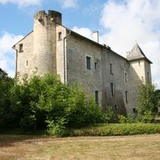
Château de Gourville
6.8 km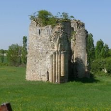
Abbaye des Dames
8.9 km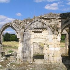
Église Notre-Dame de Lanville
4.1 km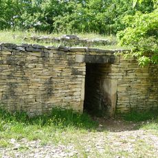
Dolmen de la Boixe
6.5 km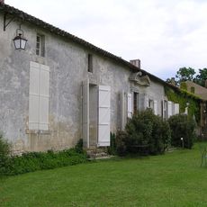
Château d'Échoisy
6.1 km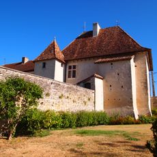
Château de Cellettes
6.3 km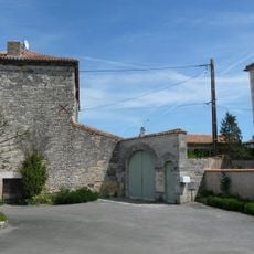
Commanderie du Fouilloux
2.7 km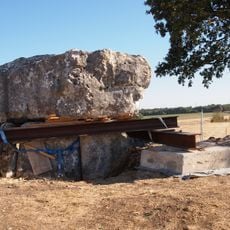
Dolmen de la Folatière
8.5 km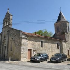
Église Saint-Étienne de Fouqueure
3.5 km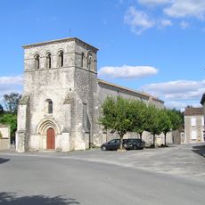
Église Saint-Pierre-des-Martyrs
6.7 km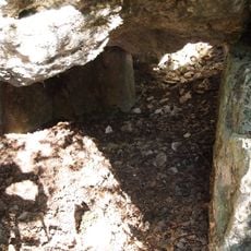
Motte de la Garde
8.2 km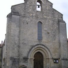
Église Notre-Dame de Coulonges
2.9 km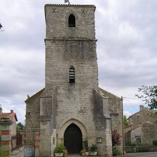
Église Notre-Dame de Xambes
4.3 km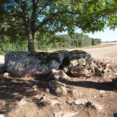
Dolmen de la Maison de la Vieille
8.5 km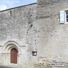
Église Saint-Nicolas de Villognon
2.6 km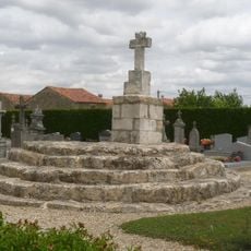
Croix hosannière de Ligné
8.4 km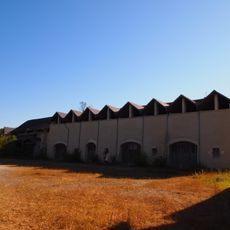
Fours à chaux d'Échoisy
5.9 km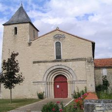
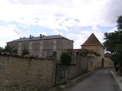
Église Saint-Étienne d'Ambérac
320 m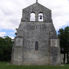
Église Saint-Clément
8.5 km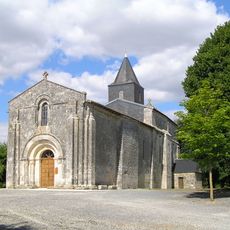
Église Notre-Dame de Mons
6.5 km
Église commanderie Notre-Dame de Villejésus
5.4 km
Église Notre-Dame de Vouharte
4.2 km
La Ferme d'Yvonne
6.1 km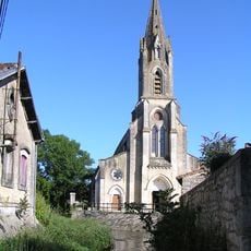
Église Saint-Pierre d'Aigre
6.1 km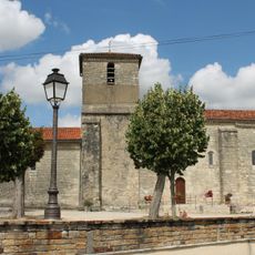
Église Saint-Aignan de Luxé
5.7 km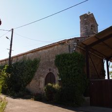
Église Saint-Saturnin de Cellettes
6.3 km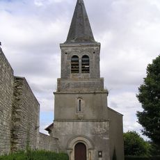
Église Saint-Georges de Vervant
5.2 km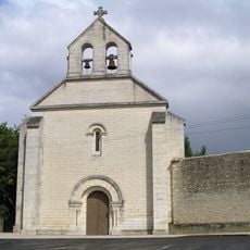
Église Saint-Vincent de La Chapelle
2.6 kmVisited this place? Tap the stars to rate it and share your experience / photos with the community! Try now! You can cancel it anytime.
Discover hidden gems everywhere you go!
From secret cafés to breathtaking viewpoints, skip the crowded tourist spots and find places that match your style. Our app makes it easy with voice search, smart filtering, route optimization, and insider tips from travelers worldwide. Download now for the complete mobile experience.

A unique approach to discovering new places❞
— Le Figaro
All the places worth exploring❞
— France Info
A tailor-made excursion in just a few clicks❞
— 20 Minutes