
Chapeau, commune in Allier, France
Location: canton of Neuilly-le-Réal
Location: Allier
Location: arrondissement of Moulins
Elevation above the sea: 265 m
Shares border with: Mercy, Montbeugny, Neuilly-le-Réal, Thiel-sur-Acolin, Vaumas
Phone: +33470438084
Email: mairie-chapeau@wanadoo.fr
Website: http://infomairie.net
GPS coordinates: 46.48806,3.52306
Latest update: May 28, 2025 06:21
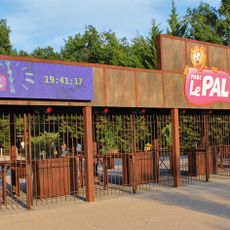
Le Pal
8.5 km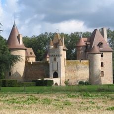
Château de Thoury
9 km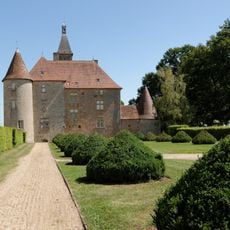
Château de Beauvoir
8.9 km
Sculpture Park Engelbrecht
7.5 km
Château de Pomay
11.3 km
Alligator Bay
8.7 km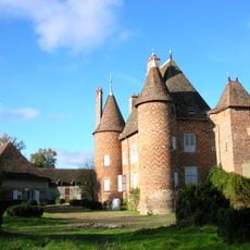
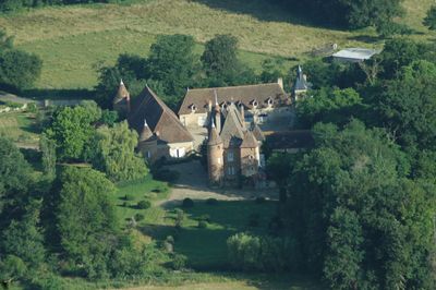
Château de la Cour
608 m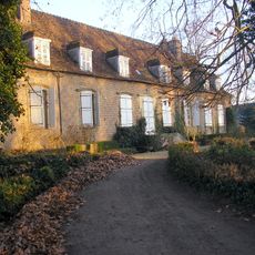
Château de Chaugy
12.2 km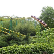
Tigre de Sibérie
8.6 km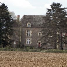
Château de Paray
12.6 km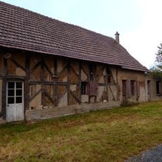
Maison de Neuglize
10.8 kmLogis d'Henri IV
7.6 km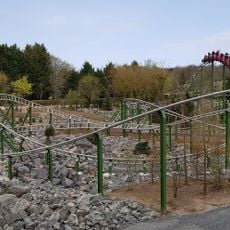
Yukon Quad
8.4 km
Twist
8.5 km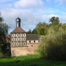
Taubenturm
12.2 km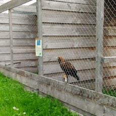
Hippogriffe
3.2 km
Les Chaises Volantes
8.5 km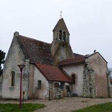
Église Saint-Voir de Saint-Voir
9 km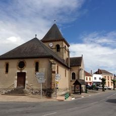
Église Saint-Martin de Thiel-sur-Acolin
5.7 km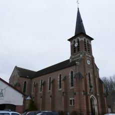
Église Saint-Julien de Neuilly-le-Réal
7.4 km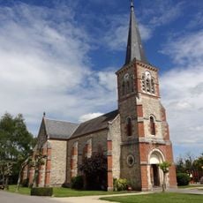
Église Saint-Roch de Montbeugny
5.3 km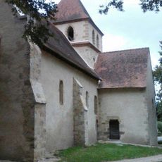
Église Saint-Barthélemy-et-Saint-Genès de Chapeau
230 m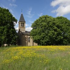
Église Saint-Pierre de Mercy
3.1 km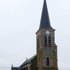
Église Notre-Dame de Thionne
10.1 km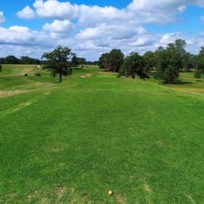
Golf des Avenelles
10.9 km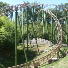
Azteka
8.6 km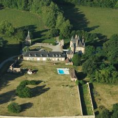
Château de l'Ecluse
7.6 km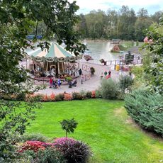
Le Carousel
8.7 kmVisited this place? Tap the stars to rate it and share your experience / photos with the community! Try now! You can cancel it anytime.
Discover hidden gems everywhere you go!
From secret cafés to breathtaking viewpoints, skip the crowded tourist spots and find places that match your style. Our app makes it easy with voice search, smart filtering, route optimization, and insider tips from travelers worldwide. Download now for the complete mobile experience.

A unique approach to discovering new places❞
— Le Figaro
All the places worth exploring❞
— France Info
A tailor-made excursion in just a few clicks❞
— 20 Minutes