
Agris, commune in Charente, France
Location: canton of La Rochefoucauld
Location: Charente
Location: Arrondissement of Angoulême
Elevation above the sea: 97 m
Shares border with: Brie, Jauldes, Les Pins, Rivières, La Rochette
Phone: +33545639368
Email: mairie.agris@wanadoo.fr
Website: http://agris.fr
GPS coordinates: 45.77500,0.33500
Latest update: June 8, 2025 05:06


Château de La Rochefoucauld
4.7 km
Château du Puy Vidal
5.7 km
Château de La Rochette
3.6 km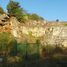
Grotte d'Artenac
7 km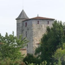
Logis de Sigogne
7.6 km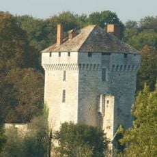
Château des Pins
6.7 km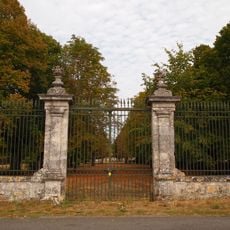
Logis de Ribérolles
2.3 km
Collégiale Saint-Cybard de La Rochefoucauld
5.5 km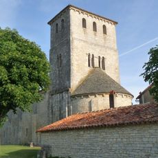
Église Saint-Jean-Baptiste
5.7 km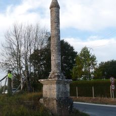
Croix de la Tuilière
616 m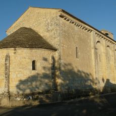
Église Sainte-Colombe de Sainte-Colombe
6.6 km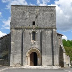
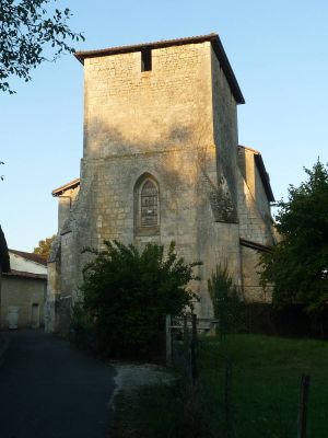
Église Saint-Caprais d'Agris
56 m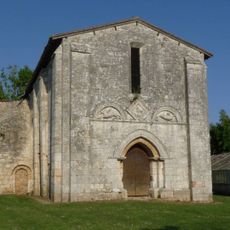
Église Saint-Étienne d'Olérat
6.4 km
Église de Saint-Mary
7.6 km
Église Saint-Projet de Saint-Projet-Saint-Constant
4.5 km
Église Saint-Cybard de Rivières
3.2 km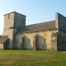
Église Saint-Sébastien de La Rochette
3.5 km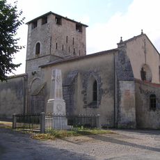
Église Saint-Martin de Jauldes
6.5 km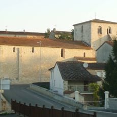
Église Saint-Médard de Brie
8.3 km
Fosse Mobile
1.9 km
Église du couvent des Carmes de La Rochefoucauld
5.4 km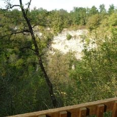
Grande Fosse
4.5 km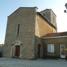
Église Saint-Martial de Taponnat-Fleurignac
5.8 km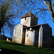
Église Saint-Pierre des Pins
6.6 km
Pont du château de La Rochefoucauld
5.2 km
Chapelle Saint-Michel du château de La Rochefoucauld
5.1 km
Chapelle de l'hôpital de La Rochefoucauld
5.3 km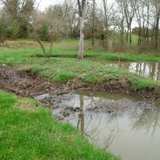
Gouffre de Chez Roby
7.2 kmVisited this place? Tap the stars to rate it and share your experience / photos with the community! Try now! You can cancel it anytime.
Discover hidden gems everywhere you go!
From secret cafés to breathtaking viewpoints, skip the crowded tourist spots and find places that match your style. Our app makes it easy with voice search, smart filtering, route optimization, and insider tips from travelers worldwide. Download now for the complete mobile experience.

A unique approach to discovering new places❞
— Le Figaro
All the places worth exploring❞
— France Info
A tailor-made excursion in just a few clicks❞
— 20 Minutes