
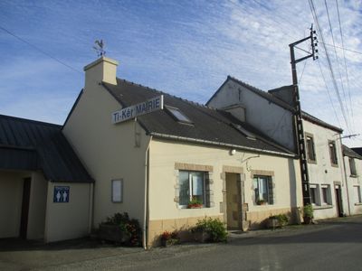
Tréogan, commune in Côtes-d'Armor, France
Location: canton of Maël-Carhaix
Location: Côtes-d'Armor
Location: arrondissement of Guingamp
Elevation above the sea: 214 m
Industry: administration publique générale
Shares border with: Gourin, Langonnet, Plévin, Motreff, Saint-Hernin
Phone: +33296296591
Email: mairie.treogan@wanadoo.fr
Website: https://treogan.bzh
GPS coordinates: 48.18917,-3.52000
Latest update: March 3, 2025 12:22
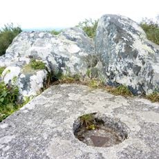
Roc'h Toullaëron
9.4 km
Calotte Saint-Joseph
5.8 km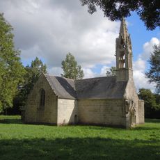
Chapelle Saint-Hervé
5 km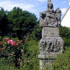
Calvaire de Kerantré
8.6 km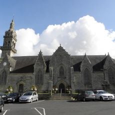
Église Saint-Pierre et Saint-Paul
8.6 km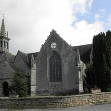
Église de La Trinité-Langonnet
5.9 km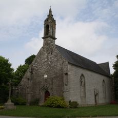
Chapelle Saint-Nicolas
4.2 km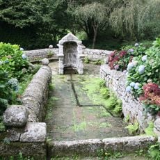
Fontaine de la Trinité-Bevzer
6.1 km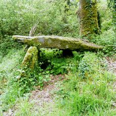
Allée couverte de Kervoulédic
6.8 km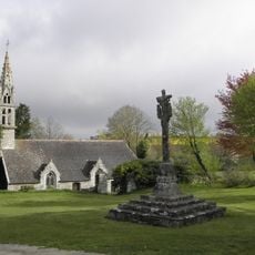
Chapelle de Lansalaün (Paule)
8.2 km
Ossuaire de Gourin
8.6 km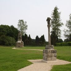
Croix de Bouthiry
8.8 km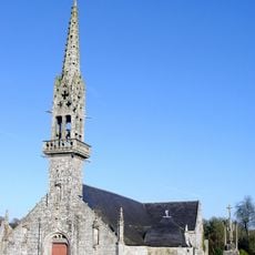
Église Saint-Hernin de Saint-Hernin
9.1 km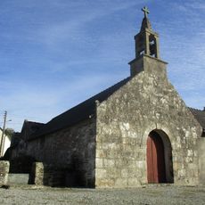
Église Saint-Conogan de Tréogan
71 m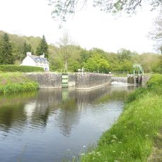
Écluse de Prat Ar Born
7.5 km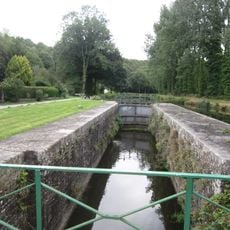
Écluse de Stang Ar Vran
7.6 km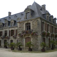
Château de Tronjoly
8.3 km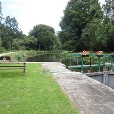
Écluse de Kerhun
7.5 km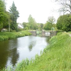
Écluse de Pelem
7.3 km
Église Saint-Pierre de Motreff
2.9 km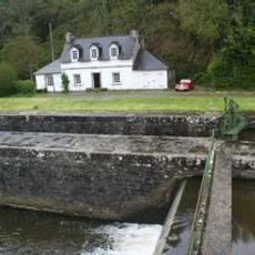
Écluse de Goariva
7.5 km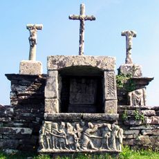
Calvaire de Kerbreudeur
8.1 km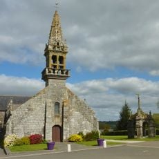
Église Notre-Dame de Plévin
4.4 km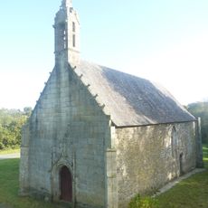
Chapelle Sainte-Brigitte de Kergorlay
2.4 km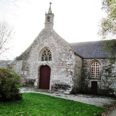
Chapelle Saint-Sauveur de Saint-Hernin
6.7 km
Chapelle oratoire du père Maunoir de Plévin
4.4 km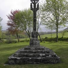
Calvaire de la chapelle de Lansalaün
8.2 km
Théâtre de Tronjoly
8.3 kmVisited this place? Tap the stars to rate it and share your experience / photos with the community! Try now! You can cancel it anytime.
Discover hidden gems everywhere you go!
From secret cafés to breathtaking viewpoints, skip the crowded tourist spots and find places that match your style. Our app makes it easy with voice search, smart filtering, route optimization, and insider tips from travelers worldwide. Download now for the complete mobile experience.

A unique approach to discovering new places❞
— Le Figaro
All the places worth exploring❞
— France Info
A tailor-made excursion in just a few clicks❞
— 20 Minutes