Côtes-d'Armor, Administrative department in Brittany, France
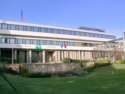
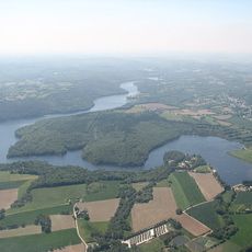
Côtes-d'Armor is an administrative territory along the northern Breton coast, stretching along the English Channel and shaped by gentle hills, river valleys, and coastal sections. The territory is divided into four districts, each containing urban centers and rural communes that form the organizational structure of the region.
The establishment of the administrative territory took place in 1790 as part of the territorial reorganization of France, with its borders roughly following the historic regions of Brittany. The name change from Côtes-du-Nord to Côtes-d'Armor occurred in 1990 and aimed to strengthen regional identity through the use of the Breton language.
The old name Côtes-du-Nord referred to the northern position of the territory, while today's designation comes from the Breton word Arvor, meaning coastal land. This name change reflects an effort to emphasize the Breton identity of the region and its connection to the sea.
The different communes and districts are connected through a network of departmental and national roads that wind through the changing landscape of coast and hills. Travelers should note that many smaller settlements, especially in the western part, have bilingual place signs and rural routes can be winding.
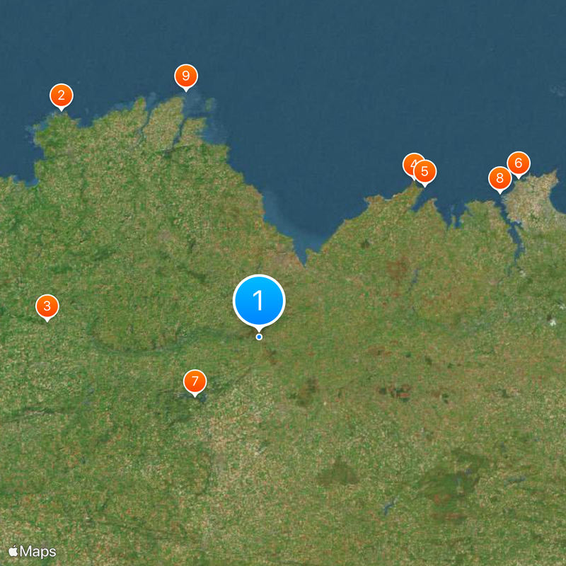
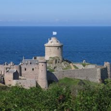
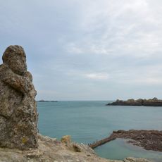
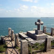
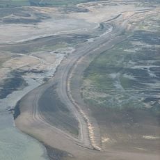
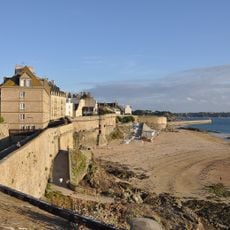
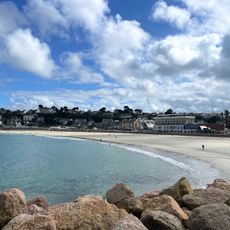
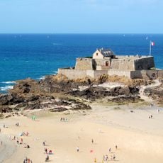
The coastline of the territory covers more than 350 kilometers (217 miles), making it one of the longest among all French departments, with the shape of bays and promontories formed by the tides of the English Channel. The relief of the three hill ranges inland ensures that rivers flow in opposite directions, either north to the English Channel or south to the Atlantic.
The community of curious travelers
AroundUs brings together thousands of curated places, local tips, and hidden gems, enriched daily by 60,000 contributors worldwide.