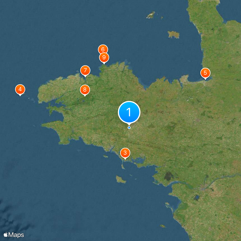
Brittany, Administrative region in northwestern France
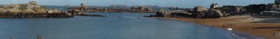
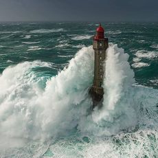
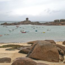
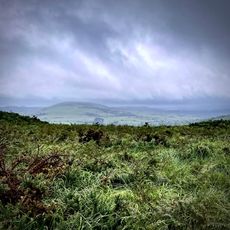
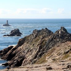
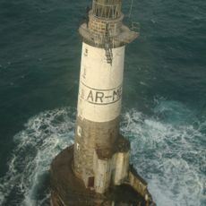
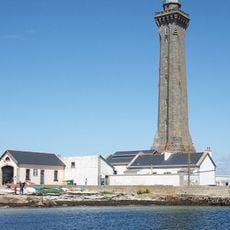
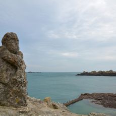
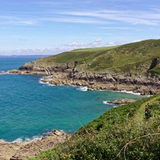
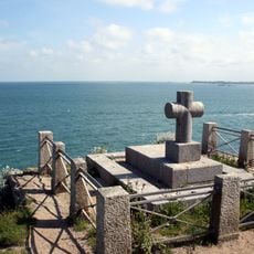
Brittany is an administrative region in northwestern France that extends as a peninsula far into the Atlantic. The coastline measures around 2800 kilometers and features cliffs, bays, and islands lying offshore.
British settlers migrated here from Great Britain in the fifth century to escape Anglo-Saxon invasions and brought the name with them. The region later developed into an independent duchy before formally uniting with France in the 16th century.
The Breton language appears today on bilingual road signs, in local radio stations, and in daily school life across the four departments. Cultural associations regularly organize fest-noz evenings where visitors can experience traditional dances and regional music.
The TGV high-speed line connects Rennes with Paris in under two hours, while regional trains and buses serve the coastal towns. Drivers should allow extra time for traffic jams on coastal roads during summer and long weekends.
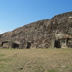
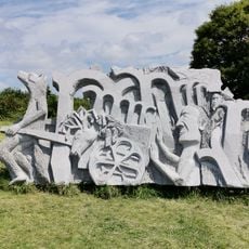
The Carnac stone complex contains more than 3000 prehistoric stone rows that stretch across several kilometers. These formations date between the fifth and third millennium before Christ and form the largest megalithic field in the world today.
The community of curious travelers
AroundUs brings together thousands of curated places, local tips, and hidden gems, enriched daily by 60,000 contributors worldwide.