Monts d'Arrée, Mountain range in Finistère, France.
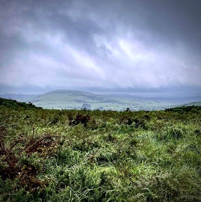
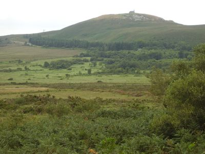
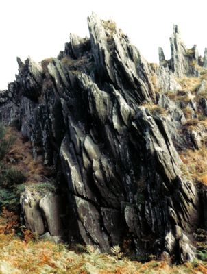
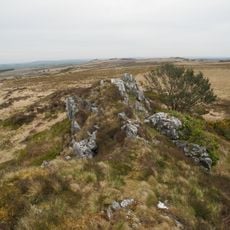
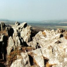
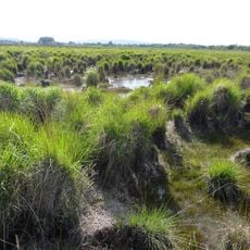
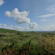
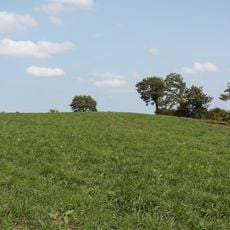
Monts d'Arrée is a mountain range in the Finistère department of western Brittany, forming the highest part of the Armorican Massif. The hills are covered with gorse, heather, and open peat bogs, while gray rock outcrops push through the vegetation and give the land a rough, open look.
The range formed millions of years ago as part of an ancient mountain chain, worn down by erosion into gentle hills. In medieval times these heights separated the counties of Cornouaille and Léon, serving as a boundary between Breton lordships.
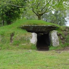
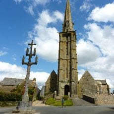
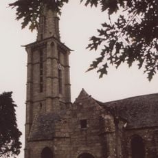
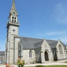
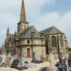
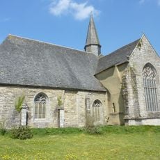
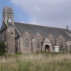
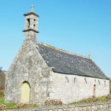
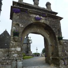
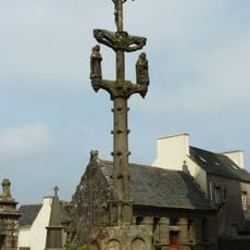
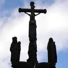
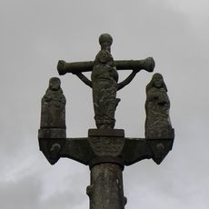
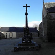
The name comes from an old Celtic word meaning height or ridge, reflecting how people saw these hills rise from the surrounding plains. Walkers pass small stone chapels and wayside crosses carved from gray granite, once prayer stops for shepherds and travelers crossing the moors.
Marked trails run through the area, ranging from short walks to multiday routes along the encircling long-distance path. Sturdy footwear is advisable as ground can be wet and paths cross uneven terrain with stones and roots.
Roc'h Ruz is considered the highest point in Brittany at 385 meters above sea level, though the exact measurement varies depending on the reference system. On clear days the view from the summit reaches the coast and across the rolling hills of Armorica Regional Natural Park.
The community of curious travelers
AroundUs brings together thousands of curated places, local tips, and hidden gems, enriched daily by 60,000 contributors worldwide.