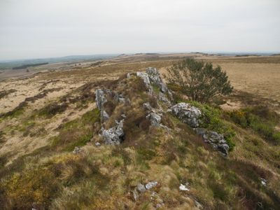
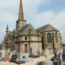
Roc'h Ruz, Mountain summit in Plounéour-Ménez, France.
Description
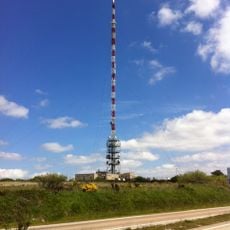
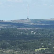
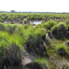
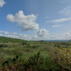
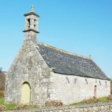
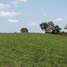
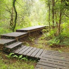
Roc'h Ruz is a mountain summit in the Parc naturel régional d'Armorique and stands at 385 meters as the highest peak in Brittany. Located in the Monts d'Arrée range, it is accessible via multiple hiking trails that branch from several starting points.
History
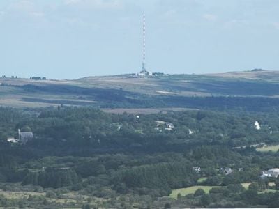
Topographic surveys by the Morlaix tax service established Roc'h Ruz as the definitive highest point of Brittany, surpassing earlier elevation records. This survey clarified that the peak holds the top ranking among all hills in the region.
Culture
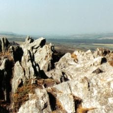
The name Roc'h Ruz comes from the Breton language and means 'red rock', reflecting how local geography shapes regional identity. This linguistic connection helps visitors understand how nature has influenced the culture of this place.
Practical
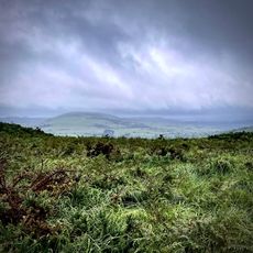
Visitors should wear sturdy footwear and bring weatherproof clothing, as trail conditions vary by season and weather can change quickly. Multiple starting points offer hikes of different lengths, allowing both beginners and experienced walkers to find a suitable route.
Did you know?
The summit rises about 9 meters above surrounding terrain, marking its place as the first among the peaks in the Breton landscape. This modest but meaningful height difference makes it a noteworthy geographical point despite its humble elevation.
AroundUs brings together thousands of curated places, local tips, and hidden gems, enriched daily by 60,000 contributors worldwide. Discover all places nearby (Plounéour-Ménez).
Monts d'Arrée
1.1 km
Roc'h Trevezel
2.4 km
Émetteur de Roc'h Trédudon
780 m
Abbaye du Relec
4.7 km
Roc'h Trédudon
309 m
Commana parish close
5.6 km
Ti ar Boutiged
6.5 km
Plounéour-Ménez Parish close
2.7 km
Réserve naturelle nationale du Venec
5.8 km
Église Saint-Yves de Plounéour-Ménez
2.7 km
Lit de Saint-Eneour
4.1 km
Ossuaire de Commana
5.6 km
Église Saint-Jean-Baptiste de La Feuillée
3.4 km
Église Saint-Derrien de Commana
5.6 km
Les Monts d'Arrée
4.5 km
Ancienne église Saint-Eutrope de Botmeur
4.7 km
Abbatiale Notre-Dame du Relec
4.7 km
Église Saint-Eutrope-et-Saint-Isidore de Botmeur
4.7 km
Chapelle Saint-Divy de Plounéour-Ménez
3.8 km
Calvaire de l'enclos paroissial de Commana
5.6 km
Arc de triomphe de Commana
5.6 km
Calvaire de 1624 de l'enclos paroissial de Commana
5.6 km
Arc de triomphe de l'Enclos paroissial de Plounéour-Ménez
2.6 km
Tumulii de Kerelcun
5.3 km
Calvaire sud de l'Enclos paroissial de Plounéour-Ménez
2.7 km
Calvaire ouest de l'Enclos paroissial de Plounéour-Ménez
2.7 km
Chapelle Saint-Houardon
3.3 km
Tourbière du Mougau
6.6 kmDiscover hidden gems everywhere you go!
From secret cafés to breathtaking viewpoints, skip the crowded tourist spots and find places that match your style. Our app makes it easy with voice search, smart filtering, route optimization, and insider tips from travelers worldwide. Download now for the complete mobile experience.
A unique approach to discovering new places❞
— Le Figaro
All the places worth exploring❞
— France Info
A tailor-made excursion in just a few clicks❞
— 20 Minutes