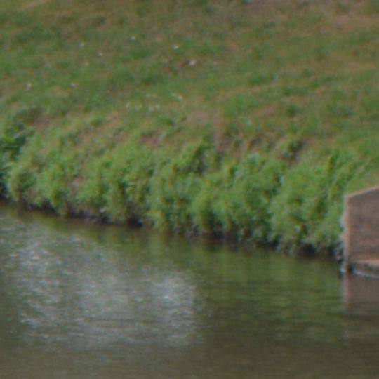
Nantes-Brest canal, Historic waterway system in Brittany, France
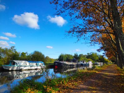
The Nantes-Brest canal is an artificial waterway stretching across five departments in Brittany, connecting Nantes to the south with Brest to the northwest. Multiple locks spaced throughout manage height changes, allowing boats to navigate through the varied terrain.
Plans for an inland waterway across Brittany date to 1627, when the Estates of Brittany approved a link from Brest to Carhaix; a 1716 proposal covered the full Nantes-Brest route. Napoleon backed the project after British blockades threatened the arsenals of Brest, Lorient and Indret. Work began in 1806, the first lock stone was laid at Port-Launay in 1811, and the canal opened along its full length in 1842.
The canal's name links Nantes and Brest, yet its western end stops near Landévennec, where the Aulne meets the Rade de Brest. Since the Guerlédan dam was built in 1928, the waterway has been split in two, and the last commercial cargo, a load of sand, reached Saint-Congard in 1977. Today the old towpaths carry walkers and cyclists, and are part of the Vélodyssée cycle route.
Visitors can explore the waterway on foot or by bike along flat towpaths that extend for long distances. The best season for walking is May through September when weather is mild and access is easiest.
The canal's summit at Glomel reaches 184 m and was cut by hand up to 23 m deep between 1822 and 1832, using 400 to 600 prisoners held at the Lande-Perran camp; malaria and harsh conditions killed many, and 570 escaped in 1830.
The community of curious travelers
AroundUs brings together thousands of curated places, local tips, and hidden gems, enriched daily by 93,452 contributors worldwide.