
Mancioux, commune in Haute-Garonne, France
Location: canton of Saint-Martory
Location: Haute-Garonne
Location: arrondissement of Saint-Gaudens
Elevation above the sea: 274 m
Industry: administration publique générale
Shares border with: Le Fréchet, Auzas, Boussens, Laffite-Toupière, Roquefort-sur-Garonne, Saint-Martory
Website: http://mairie-mancioux.fr/fr
GPS coordinates: 43.15778,0.95139
Latest update: March 4, 2025 19:47

Chiragan Roman villa
6.4 km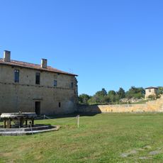
Bonnefont Abbey
6.5 km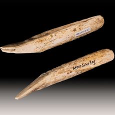
Marsoulas Cave
6.1 km
Église Saint-Vidian
6.7 km
Musée-forum de l'Aurignacien
8.7 km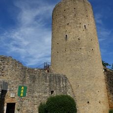
Château d'Aurignac
9 km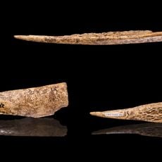
Tarté
6.2 km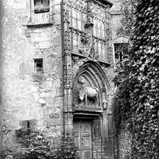
Palais épiscopal d'Alan
8.1 kmSaint Christopher Church of Montsaunès
5.2 km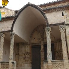
Église Saint-Pierre-aux-Liens d'Aurignac
8.9 kmÉglise de Saint-Martory
2.2 km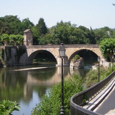
Pont et portes de ville de Saint-Martory
2.5 km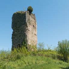
Château de Salies-du-Salat
5.8 km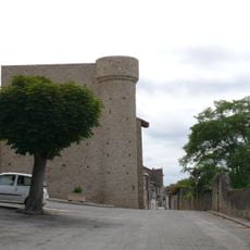
Savoie Tower
8.9 kmÉglise Notre-Dame-de-la-Nativité d'Alan
8 km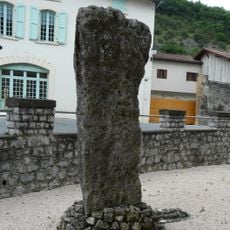
Menhir de Peyro-Hitto
2.2 km
Église Notre Dame de la Pitié, Salies-du-Salat
5.9 km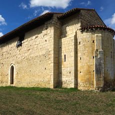
Chapelle Sainte-Matrone de Mazères-sur-Salat
3.7 km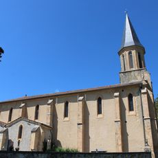
Église Saint-Michel de Laffite-Toupière
4 km
Golf de Salies-du-Salat
5.8 km
Église Saint-Martin, Roquefort-sur-Garonne
2.1 km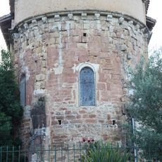
Église Notre-Dame du Fréchet
3.6 km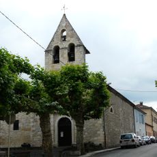
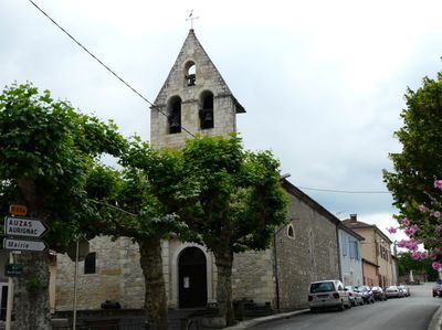
Église de Mancioux
86 m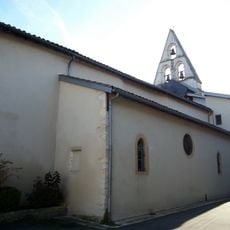
Église Saint-Exupère de Boussens
2.5 km
Église de Lestelle-de-Saint-Martory
5.2 km
Église Saint-Félix d'Auzas
5.5 km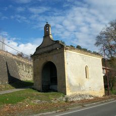
Chapelle Notre-Dame de Monconfort
1.9 km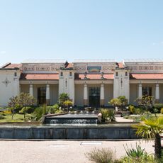
Thermes de Salies-du-Salat
6.3 kmVisited this place? Tap the stars to rate it and share your experience / photos with the community! Try now! You can cancel it anytime.
Discover hidden gems everywhere you go!
From secret cafés to breathtaking viewpoints, skip the crowded tourist spots and find places that match your style. Our app makes it easy with voice search, smart filtering, route optimization, and insider tips from travelers worldwide. Download now for the complete mobile experience.

A unique approach to discovering new places❞
— Le Figaro
All the places worth exploring❞
— France Info
A tailor-made excursion in just a few clicks❞
— 20 Minutes