
Ceignes, commune in Ain, France
Location: Ain
Location: arrondissement of Nantua
Elevation above the sea: 682 m
Shares border with: Challes-la-Montagne, Labalme, Leyssard, Maillat, Peyriat, Saint-Alban
Phone: +33474757901
Email: mairie-de-ceignes@wanadoo.fr
GPS coordinates: 46.12028,5.49917
Latest update: May 30, 2025 22:29
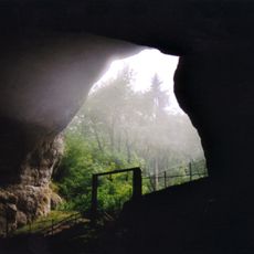
Grottes du Cerdon
3.2 km
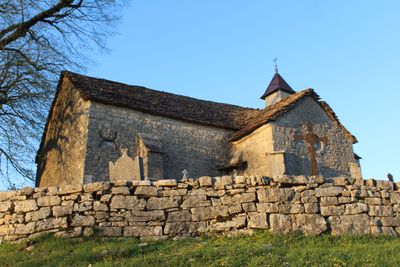
Chapelle Saint-Laurent d'Étables
1.3 km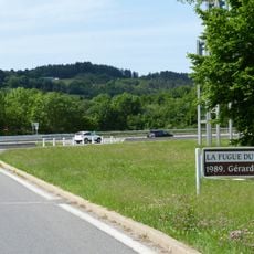
La Fugue du Bugey
532 m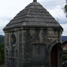
Chapelle Sainte-Claire de Maillat
3 km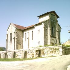
Église Saint-Maurice de Serrières-sur-Ain
5 km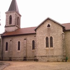
Église Sainte-Catherine de Ceignes
152 m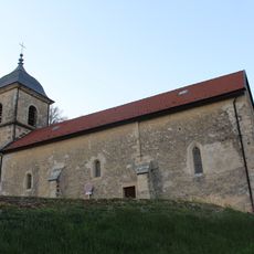
Église Notre-Dame-de-l'Assomption de Leyssard
4.4 km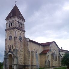
Église Saint-Irénée de Maillat
3.2 km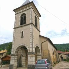
Église Saint-Pierre-aux-Liens de Challes-la-Montagne
2.7 km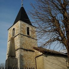
Église Saint-Brice de Peyriat
4 km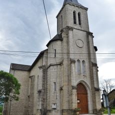
Église Saint-Alban de Chamagnat
4.3 km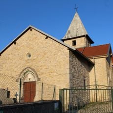
Église Saint-Amand de Labalme
3.5 km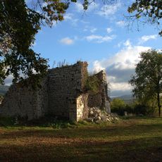
Église Saint-Alban ruinée de Saint-Alban
4.2 km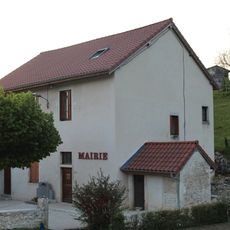
Town hall of Serrières-sur-Ain
5.1 km
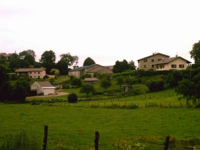
Mairie de Maillat
3.3 km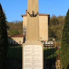
War memorial of Labalme
3.3 km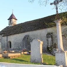
Cemetery of Étables
1.3 km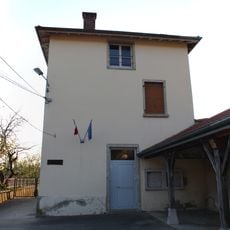
Town hall of Labalme
3.3 km
Town hall of Challes-la-Montagne
2.8 km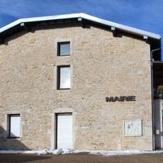
Town hall of Peyriat
4 km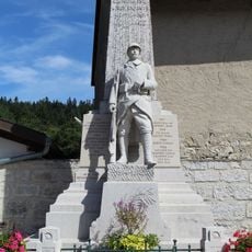
War memorial of Condamine
4.2 km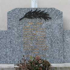
War memorial of Serrières-sur-Ain
5 km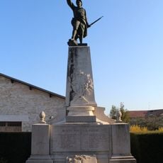
War memorial of Saint-Martin-du-Frêne
4.7 km
Town hall of Ceignes
77 m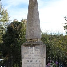
War memorial of Peyriat
4 km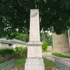
War memorial of Challes-la-Montagne
2.9 km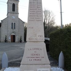
War memorial of Ceignes
156 m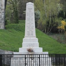
War memorial of Leyssard
4.4 kmReviews
Visited this place? Tap the stars to rate it and share your experience / photos with the community! Try now! You can cancel it anytime.
Discover hidden gems everywhere you go!
From secret cafés to breathtaking viewpoints, skip the crowded tourist spots and find places that match your style. Our app makes it easy with voice search, smart filtering, route optimization, and insider tips from travelers worldwide. Download now for the complete mobile experience.

A unique approach to discovering new places❞
— Le Figaro
All the places worth exploring❞
— France Info
A tailor-made excursion in just a few clicks❞
— 20 Minutes