
Lhuis, commune in Ain, France
Location: Ain
Location: arrondissement of Belley
Elevation above the sea: 479 m
Shares border with: Ambléon, Briord, Conzieu, Marchamp, Brangues, Creys-Mépieu, Saint-Victor-de-Morestel, Groslée-Saint-Benoît
Phone: +33474398296
Email: mairie.lhuis@gmail.com
Website: http://lhuis.fr
GPS coordinates: 45.74667,5.53333
Latest update: May 31, 2025 04:54
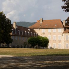
Château de Brangues
5.5 km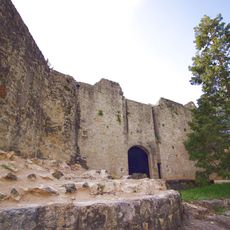
Château de Groslée
4.2 km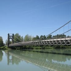
Pont de Groslée
4 km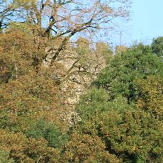
St. Andrew's Castle
5.2 km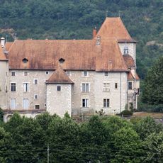
Château de Mérieu
2.4 km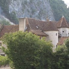
Château de Varepe
4.6 km
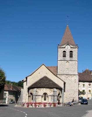
Église de l'Assomption de Lhuis
111 m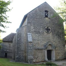
Saint Sebastien church of Conzieu
6.1 km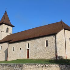
Église Saint-Cyriaque de Groslée
4.6 km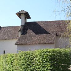
Chapelle Saint-Désiré d'Ambléon
5.4 km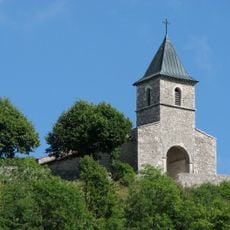
Église Saint-Laurent d'Innimont
4.8 km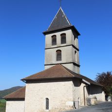
Église Saint-Maurice de Marchamp
4.5 km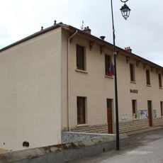
Town hall of Marchamp
3.7 km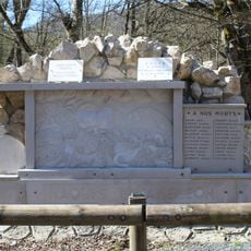
War memorial of Maquis in Ambléon
4.1 km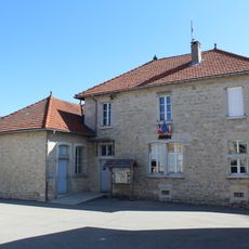
Mairie d'Innimond
5 km
Église Saint-Maurice de Creys
4 km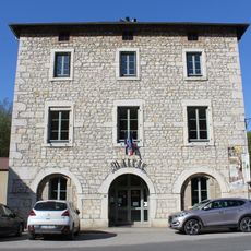
Town hall of Lhuis
153 m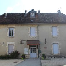
Mairie de Conzieu
6.1 km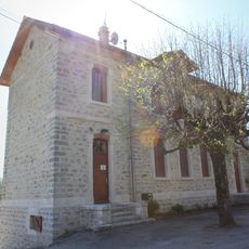
Town hall of Ambléon
5.3 km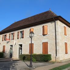
Town hall of Groslée
4.6 km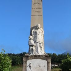
War memorial of Groslée
4.7 km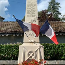
War memorial of Conzieu
6.2 km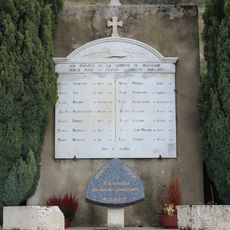
War memorial of Marchamp
4.3 km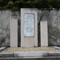
War memorial of Ambléon
5.2 km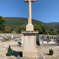
Cemetery cross of Lhuis
602 m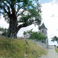
Tilleul d'Innimond
4.8 km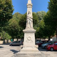
War memorial of Lhuis
188 m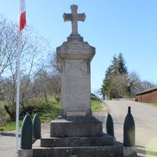
War memorial of Innimond
4.9 kmReviews
Visited this place? Tap the stars to rate it and share your experience / photos with the community! Try now! You can cancel it anytime.
Discover hidden gems everywhere you go!
From secret cafés to breathtaking viewpoints, skip the crowded tourist spots and find places that match your style. Our app makes it easy with voice search, smart filtering, route optimization, and insider tips from travelers worldwide. Download now for the complete mobile experience.

A unique approach to discovering new places❞
— Le Figaro
All the places worth exploring❞
— France Info
A tailor-made excursion in just a few clicks❞
— 20 Minutes