
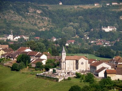
Massignieu-de-Rives, commune in Ain, France
Location: Ain
Location: arrondissement of Belley
Elevation above the sea: 284 m
Shares border with: Cressin-Rochefort, Jongieux, Lucey, Yenne, Parves et Nattages, Magnieu
Phone: +33479421003
Email: mairie@massignieu.fr
Website: https://massignieuderives.fr
GPS coordinates: 45.75417,5.76722
Latest update: June 4, 2025 21:55

Château de Lucey
1.8 km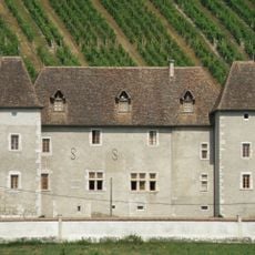
Castle of La Mar
2.7 km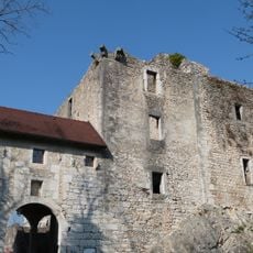
Château de Rochefort-sur-Séran
3.8 km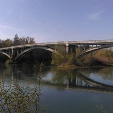
Lucey bridge
1.3 km
Bagneux cup-marked stone
3.3 km
Rosset cup-marked stone
2.3 km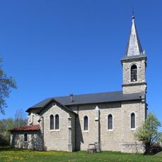
Église Saint-Pierre de Parves
2.4 km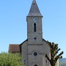
Église Saint-Étienne de Cressin-Rochefort
2.7 km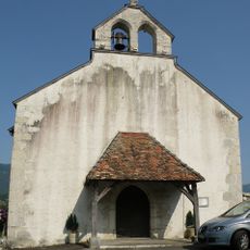
Église Saint-Pierre de Nattages
2.6 km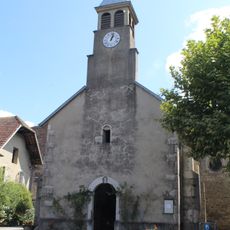
Église Saint-Martin de Saint-Champ
3.5 km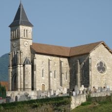
Église Saint-Martin
63 m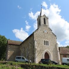
Église Saint-Pierre de Magnieu
4.5 km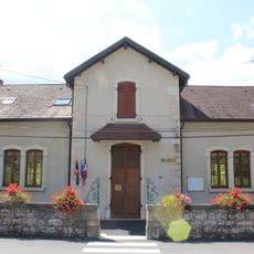
Mairie de Magnieu
4.5 km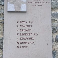
War memorial of Saint-Champ
3.5 km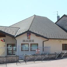
Town hall of Massignieu-de-Rives
34 m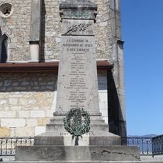
War memorial of Massignieu-de-Rives
58 m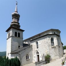
Église Saint-Étienne de Lucey
1.6 km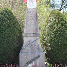
War memorial of Parves
2.4 km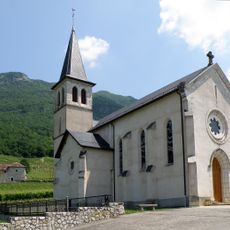
Église Saint-Maurice de Jongieux
3.1 km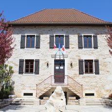
Town hall of Parves
2.2 km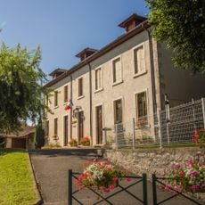
Town hall of Cressin-Rochefort
3.4 km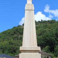
War memorial of Magnieu
4.5 km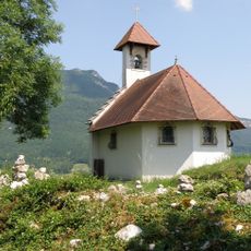
Chapelle Saint-Romain
3.2 km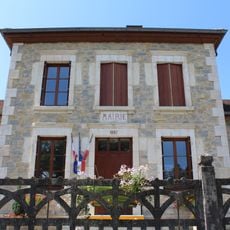
Mairie de Saint-Champ
4.4 km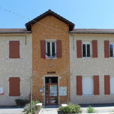
Town hall of Nattages
3 km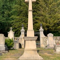
Cemetery cross of Magnieu
4.8 km
Château Bochard
2.2 km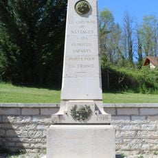
War memorial of Nattages
3 kmReviews
Visited this place? Tap the stars to rate it and share your experience / photos with the community! Try now! You can cancel it anytime.
Discover hidden gems everywhere you go!
From secret cafés to breathtaking viewpoints, skip the crowded tourist spots and find places that match your style. Our app makes it easy with voice search, smart filtering, route optimization, and insider tips from travelers worldwide. Download now for the complete mobile experience.

A unique approach to discovering new places❞
— Le Figaro
All the places worth exploring❞
— France Info
A tailor-made excursion in just a few clicks❞
— 20 Minutes