
Lamaids, commune in Allier, France
Location: canton of Montluçon-Ouest
Location: Allier
Location: arrondissement of Montluçon
Elevation above the sea: 452 m
Industry: administration publique générale
Shares border with: Quinssaines, Saint-Martinien, Nouhant, Viersat
Phone: +33470518472
Email: mairielamaids@orange.fr
GPS coordinates: 46.30278,2.43194
Latest update: March 7, 2025 14:55
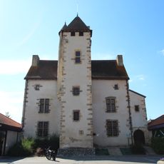
Château de Bien-Assis
12 km
Bowling
11.5 km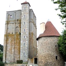
Donjon de la Toque
8.6 km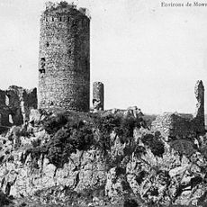
Château de l'Ours
11.8 km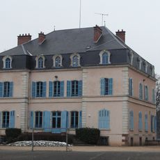
Château de Brignat
12.3 km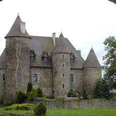
Château du Fressinaud
3.7 km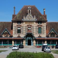
Hôpital de la Charité
12.4 km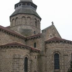
Église Notre-Dame d'Huriel
8.8 km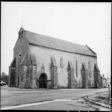
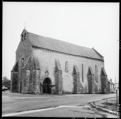
Église Saint-Jean-Baptiste de Lamaids
33 m
Château des Étourneaux
12.5 km
Église Notre-Dame de Domérat
10.2 km
Église Sainte-Anne de Lavault-Sainte-Anne
12.9 km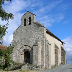
Église Saint-Pardoux d'Archignat
5.3 km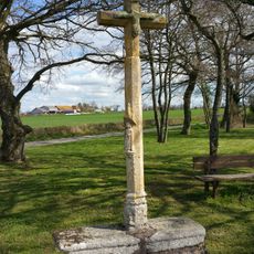
Croix des Âges
8.3 km
Église de Sainte-Thérence
12 km
Église Saint-Martin de Nouhant
3.8 km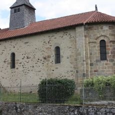
Église Saint-Symphorien d'Auge
10.7 km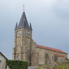
Église Saint-Marcel de Quinssaines
6.7 km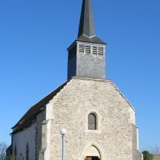
Église Saint-Pardoux-et-Saint-Sulpice d'Archignat
7.8 km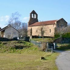
Église Saint-Martial du Châtelet
12.3 km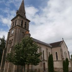
Saint Martin Church
12.2 km
Église de Saint-Martinien
4.7 km
Église Saint-Julien de Treignat
8.7 km
Église Saint-Gaudens de Budelière
9.6 km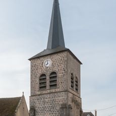
Église Saint-Gervais de Treignat
8.7 km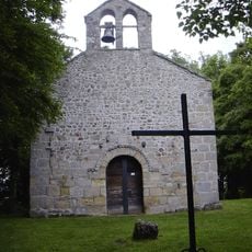
Chapelle Sainte-Radegonde de Budelière
9.5 km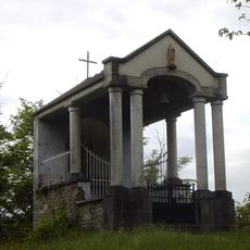
Marien de Combraille Chapel
9.8 km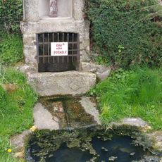
Fontaine Saint-Pierre de Frontenat
5.3 kmVisited this place? Tap the stars to rate it and share your experience / photos with the community! Try now! You can cancel it anytime.
Discover hidden gems everywhere you go!
From secret cafés to breathtaking viewpoints, skip the crowded tourist spots and find places that match your style. Our app makes it easy with voice search, smart filtering, route optimization, and insider tips from travelers worldwide. Download now for the complete mobile experience.

A unique approach to discovering new places❞
— Le Figaro
All the places worth exploring❞
— France Info
A tailor-made excursion in just a few clicks❞
— 20 Minutes