Bessin, historical province of France
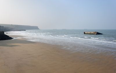
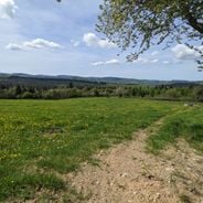
Bessin is a historical province in Calvados, Normandy, stretching from coastal cliffs to farmland and green fields that extend inland. The region is bordered by the Bay of Veys and the Vire River, displaying geological diversity between the Paris Basin and the Armorican Massif, with visible cliffs particularly near Arromanches.
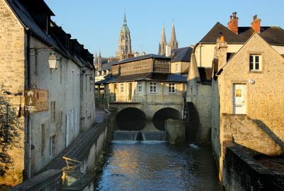
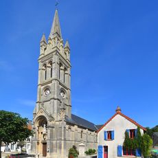
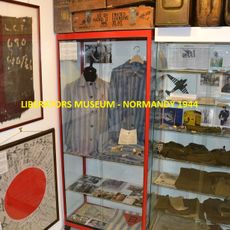
Bessin was founded by the Celtic Bajocasses tribe, whose name gave the region its identity, and gained importance as a Roman district centered on Bayeux. The territory saw religious conflicts during the 1500s, coal mining development in the 1800s, and major World War II combat along beaches like Gold Beach and Omaha Beach during the 1944 invasion.
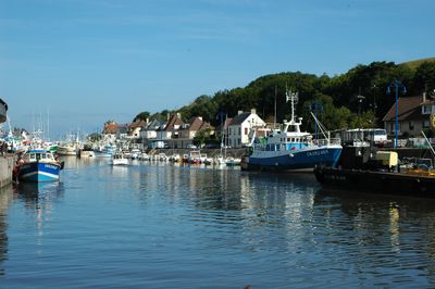
The people of Bessin, known as Bessinois, maintain strong ties to the sea and farming through fishing, oyster farming, and local markets. Their daily life reflects a culture rooted in maritime and agricultural traditions that remain visible throughout the region.
The region offers multiple ways to explore, from coastal paths to rural trails through villages and farmland. Visitors will find museums, military cemeteries, and archaeological sites accessible by foot, allowing gradual exploration at a relaxed pace without rush.
An artificial Mulberry harbor structure remains visible at Arromanches, showing the engineering feat of 1944. These floating constructions were specially built for the invasion and allowed thousands of ships and trucks to land where no natural port existed.
The community of curious travelers
AroundUs brings together thousands of curated places, local tips, and hidden gems, enriched daily by 60,000 contributors worldwide.