Tournefort

Log in to your account

AroundUs is a community-driven map of interesting places, built by curious explorers like you. It grows with every review, story, and photo you share.
Connect to save your favorite spots, contribute locations, and create personalized routes.
Continue with Google
Continue with Apple
Continue with X
Continue with Facebook
Continue with email
By continuing, you accept our Terms and Conditions and our Privacy Policy
Create an account
Add to collection
Map
Suggest a change
Share

Tournefort, Municipality in Alpes-Maritimes, France

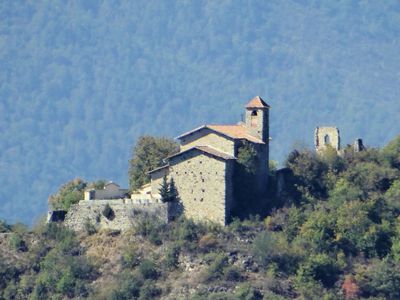
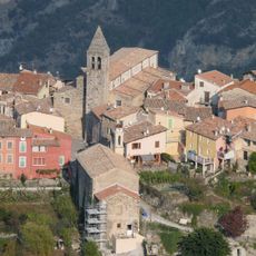
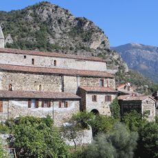
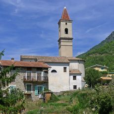
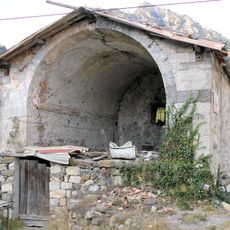
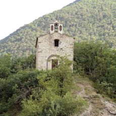
Tournefort is a municipality in the Alpes-Maritimes that spreads across mountainous terrain with elevation changes ranging from 171 to 1,304 meters (561 to 4,278 feet). The original settlement was abandoned over time and the population relocated to the La Colle area, where the current community now lives.

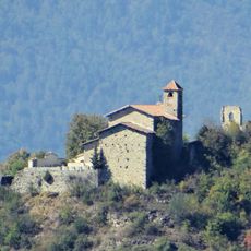
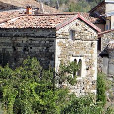
The Knights Templar established a hospice and acquired lands in this area during the 12th century, marking the earliest recorded settlement. This religious presence shaped the region's development over the following centuries.

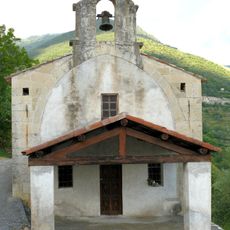
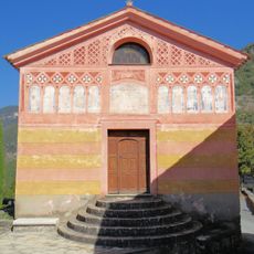
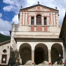
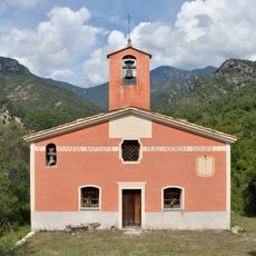
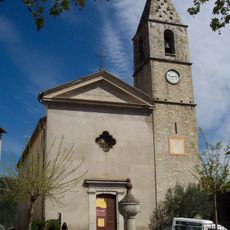
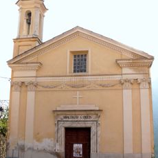
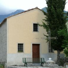
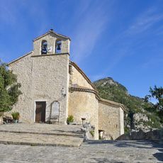
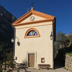
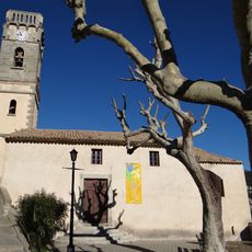
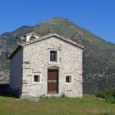
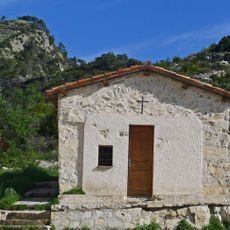
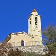
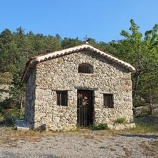
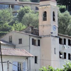
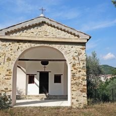
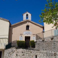
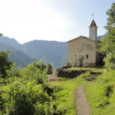
The old village holds a 17th-century church and a chapel that show how local communities expressed their faith over centuries. These buildings remain as places where residents once gathered for worship and celebration.

The original settlement sits on steep, hilly ground that requires sturdy footwear to explore properly. The current community in La Colle offers easier access, though the old core remains worth visiting for those interested in seeing where people once lived.

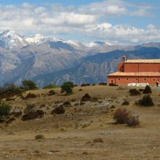
A military fort was built between 1883 and 1890 to protect the nearby city of Nice from potential invasion. This fortification shows how the region served as part of France's coastal defense network during that era.

Location: canton of Villars-sur-Var

Location: Alpes-Maritimes

Location: arrondissement of Nice

Elevation above the sea: 470 m

Shares border with: Bairols, Clans, Malaussène, Massoins, La Tour, Utelle

Phone: +33493029056

Email: mairie.tournefort@wanadoo.fr

GPS coordinates: 43.94667,7.15111

Latest update: December 12, 2025 12:03

Photos
Reviews

Visited this place? Tap the stars to rate it and share your experience / photos with the community! Try now! You can cancel it anytime.

« Tournefort - Municipality in Alpes-Maritimes, France » is provided by Around Us (aroundus.com). Images and texts are derived from Wikimedia project under a Creative Commons license. You are allowed to copy, distribute, and modify copies of this page, under the conditions set by the license, as long as this note is clearly visible.

Discover hidden gems everywhere you go!

From secret cafés to breathtaking viewpoints, skip the crowded tourist spots and find places that match your style. Our app makes it easy with voice search, smart filtering, route optimization, and insider tips from travelers worldwide. Download now for the complete mobile experience.

Around Us App Screenshot

A unique approach to discovering new places

Le Figaro

All the places worth exploring

France Info

A tailor-made excursion in just a few clicks

20 Minutes