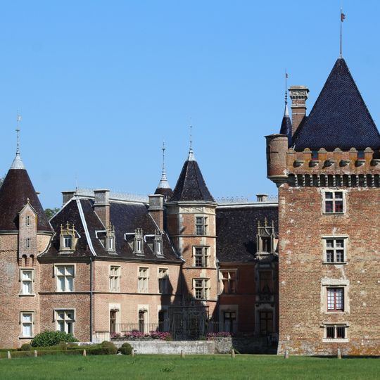
Confrançon, commune in Ain, France
The community of curious travelers
AroundUs brings together thousands of curated places, local tips, and hidden gems, enriched daily by 60,000 contributors worldwide.
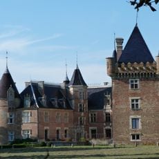
Château de Loriol
2.3 km
Calvaire de Curtafond
2 kmFerme de Cossiat
4.5 km
Église Saint-Pierre de Confrançon
82 m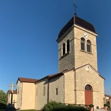
Église Saint-Clément de Curtafond
2 km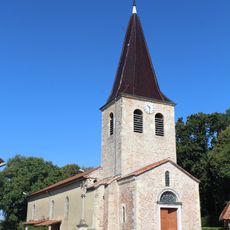
Église Saint-Didier de Saint-Didier-d'Aussiat
4.4 km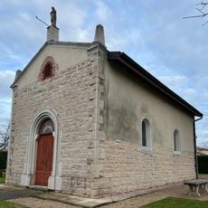
Chapelle Notre-Dame de Montfalcon
3 km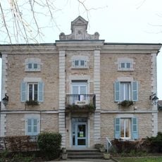
Mairie de Confrançon
277 m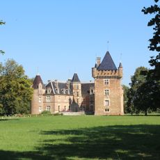
Parc du Château de Loriol
2.3 km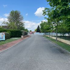
Clos du Sorbier
3.5 km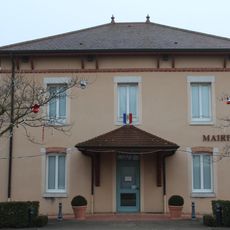
Town hall of Curtafond
1.9 km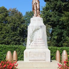
War memorial of Saint-Didier-d'Aussiat
4.4 km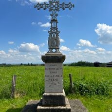
Croix de Montfalcon
3 km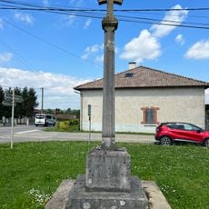
Croix de Vaudrenant
3.1 km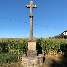
Croix Chevillard
3.1 km
Clos du Noyer
3.2 km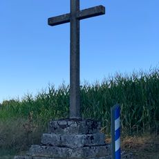
Croix Quentin
2.1 km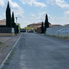
Clos de la Tuilerie
3.3 km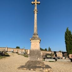
Cemetery cross of Confrançon
377 m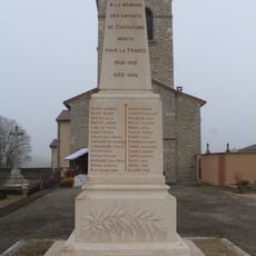
War memorial of Curtafond
1.9 km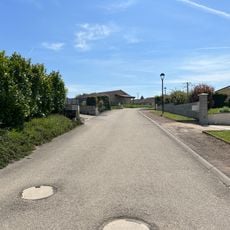
Clos des Acacias
4.4 km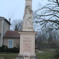
War memorial of Confrançon
284 m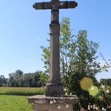
Croix de Pierre
105 m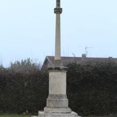
Croix de la route de la Chevinière
2 km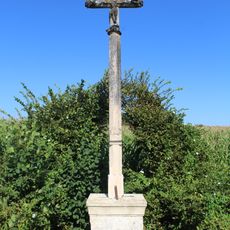
Croix de Gottex
3.9 km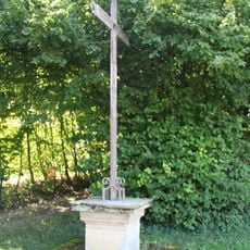
Croix de Malet
459 m
Poype de Nécudet
4 km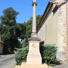
Croix de l'église de Saint-Didier-d'Aussiat
4.4 kmDiscover hidden gems everywhere you go!
From secret cafés to breathtaking viewpoints, skip the crowded tourist spots and find places that match your style. Our app makes it easy with voice search, smart filtering, route optimization, and insider tips from travelers worldwide. Download now for the complete mobile experience.

A unique approach to discovering new places❞
— Le Figaro
All the places worth exploring❞
— France Info
A tailor-made excursion in just a few clicks❞
— 20 Minutes
