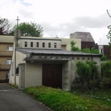
Orge, Left tributary river in Île-de-France, France
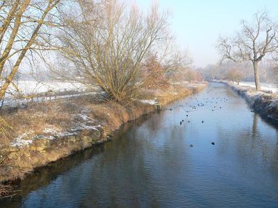
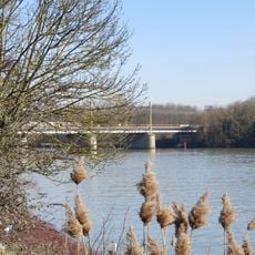
The Orge is a left tributary of the Seine flowing through the Île-de-France region from Saint-Martin-de-Bréthencourt southeastward through Yvelines and Essonne departments. It winds through farmland and towns before joining the Seine near Athis-Mons, serving as a natural boundary and waterway through populated areas.
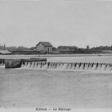
The river was channelized in the 18th century, particularly around 1728, to support transportation along the main route connecting Paris to Fontainebleau. This engineering intervention reshaped how water moved through the landscape and altered land use throughout the region.
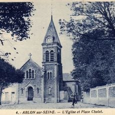
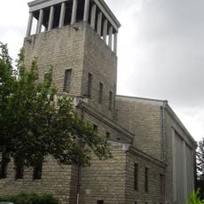
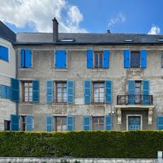
The river shaped local place names, with several towns adding 'sur-Orge' to their identity, reflecting how communities define themselves through their relationship with the waterway.
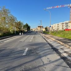
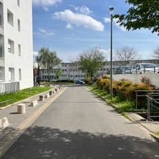
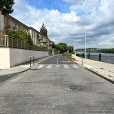
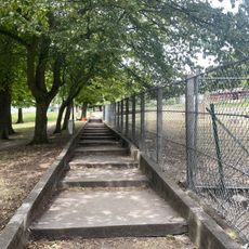
A network of parks connects communities along the riverbanks, creating a continuous footpath from the source to where it meets the Seine. You can access the route at multiple points along its course, making it flexible for walking or cycling trips.
Behind the scenes, a management authority maintains an extensive system of drainage channels and water retention facilities that control water flow and prevent flooding across the region. This hidden infrastructure is essential to managing the modern landscape through which the river flows.
The community of curious travelers
AroundUs brings together thousands of curated places, local tips, and hidden gems, enriched daily by 60,000 contributors worldwide.