Enable Location

We need your location to show you interesting places around you

Discover nearby places

Find interesting locations and hidden gems around you

Precise directions

Get accurate directions and distances to places

Your location is never shared with other users. It's only used when you tap the location button.

Sainte-Hermine

Log in to your account

Start exploring — it's free

Trusted by 62,173 travelers worldwide

Continue with Google
Continue with Apple
or

We will send you a code to connect

By continuing, you accept our Terms and Conditions and our Privacy Policy

Check your inbox

We've sent a pincode in your inbox. Please enter the code below.

Sainte-Hermine, Former commune in Sainte-Hermine canton, Vendée, France.

Sainte-Hermine covers approximately 134.47 square kilometers of varied terrain with elevations ranging from 12 to 83 meters above sea level, traversed by the Smagne river flowing southwestward through the commune and bounded by the Lay River to the north.

The commune served as an important strategic position on routes connecting northern and southern France throughout centuries, maintaining its administrative status until merging into Saint-Jean-d'Hermine on January 1, 2025, following nationwide territorial reforms.

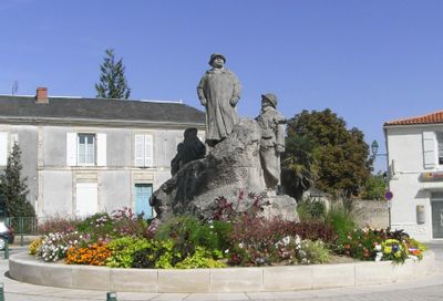
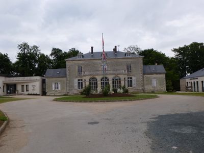
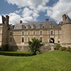
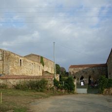
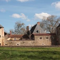
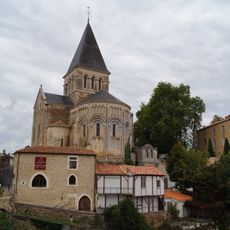
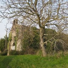
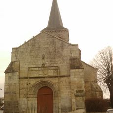
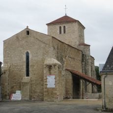
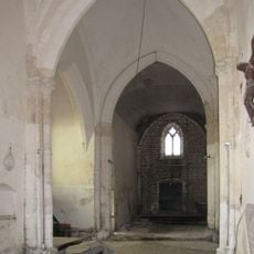
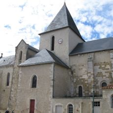
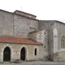
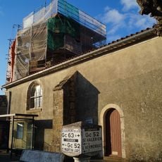
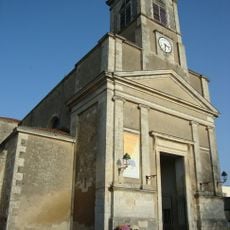
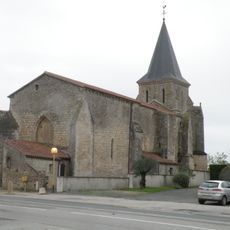
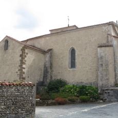
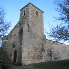
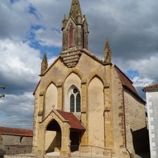
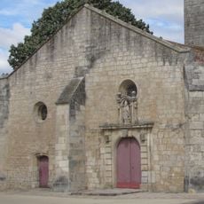
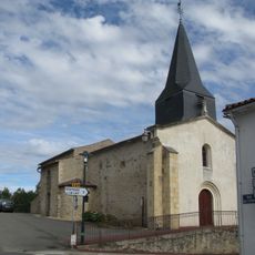
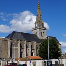
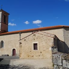
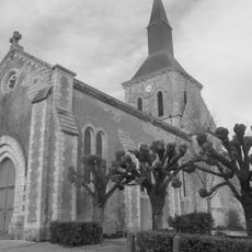
The town features a monument dedicated to Georges Clemenceau erected during his lifetime, along with traditional French rural architecture including a local church, Protestant temple, and historic halls reflecting various architectural periods and regional heritage.

Located at coordinates 46°33′25″N and 1°03′16″W with postal code 85210, Sainte-Hermine hosts a weekly Friday morning market under traditional halls and organizes a monthly fair on the first Friday, offering local produce and goods to residents and visitors.

Every early August, Sainte-Hermine organizes a historical festival featuring French history reenactments, music, and heritage activities, while offering marked walking circuits including a 6-kilometer Smagne loop and a 3-kilometer historical route showcasing local landmarks.

The community of curious travelers

AroundUs brings together thousands of curated places, local tips, and hidden gems, enriched daily by 60,000 contributors worldwide.

Start exploring
Location
Elevation above the sea
42 m
Shares border with
La Réorthe, Bournezeau, Saint-Aubin-la-Plaine, Saint-Étienne-de-Brillouet, Saint-Juire-Champgillon, Sainte-Pexine, Thiré
Address
85210 Sainte-Hermine, France
Phone
GPS coordinates
46.55611,-1.05556
Latest update
August 11, 2025 12:07
Around this place
Show the full map
« Sainte-Hermine - Former commune in Sainte-Hermine canton, Vendée, France » is provided by Around Us (aroundus.com). Images and texts are derived from Wikimedia project under a Creative Commons license. You are allowed to copy, distribute, and modify copies of this page, under the conditions set by the license, as long as this note is clearly visible.

Discover hidden gems everywhere you go!

From secret cafés to breathtaking viewpoints, skip the crowded tourist spots and find places that match your style. Our app makes it easy with voice search, smart filtering, route optimization, and insider tips from travelers worldwide. Download now for the complete mobile experience.

Around Us App Screenshot

A unique approach to discovering new places

Le Figaro

All the places worth exploring

France Info

A tailor-made excursion in just a few clicks

20 Minutes

Around Us
Travel Guide & Maps
Download

Send to your phone

QR Code
1

Open the camera app on your mobile.

2

Point at the QR code with your camera. A notification will appear.

3

Tap the notification to open the link.