
Glère, commune in Doubs, France
Location: canton of Saint-Hippolyte
Location: Doubs
Location: arrondissement of Montbéliard
Inception: July 1, 1973
Elevation above the sea: 600 m
Shares border with: Haute-Ajoie, Montancy, Vaufrey, Burnevillers, Indevillers
Phone: +33381939012
Email: mairiedeglere@orange.fr
GPS coordinates: 47.34361,6.99417
Latest update: June 6, 2025 15:48
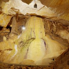
Grottes de Réclère
6.3 km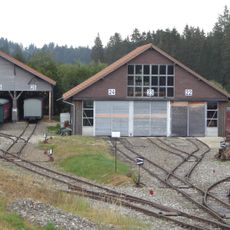
La Traction
8.9 km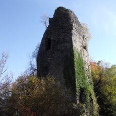
Château de Montjoie-Le-Château
7.1 km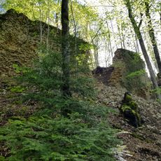
Montvoie Castle
5.3 km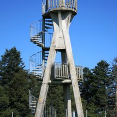
Aussichtsturm Faux d'Enson
3.4 km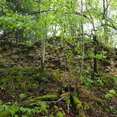
Roche d'Or castle ruin - Middle Ages
4.1 km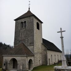
Église Saint-Maurice de Fessevillers
9.2 km
Musée agricole de l'Amicale des vieilles-traditions
7.4 km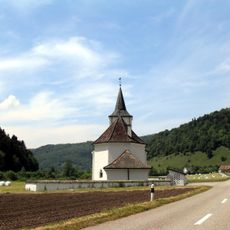
Saint-Valbert church
5 km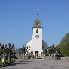
Saint-Pierre church
8.9 km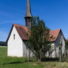
Sainte-Croix chapel
7.8 km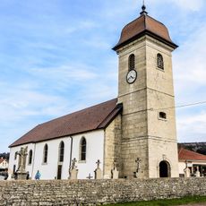
Église de l'Assomption des Plains-et-Grands-Essarts
8.8 km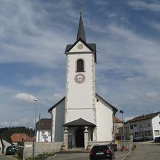
Saint-Pierre-et-Saint-Paul church
8 km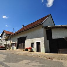
Bout-Dessous 18 residential building
8.8 km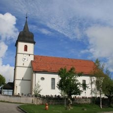
Saint-Jean-Baptiste church
8 km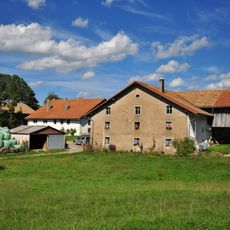
Farmhouse
8.4 km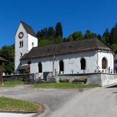
Saint-Valbert church
5.6 km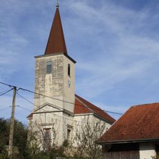
Église Sainte-Ursanne d'Indevillers
4.5 km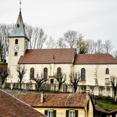
Église Saint-Laurent de Courtefontaine
7.1 km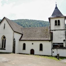
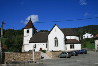
Église Saint-Valbert de Glère
100 m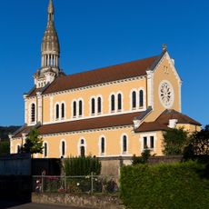
Saint-Étienne church
5.9 km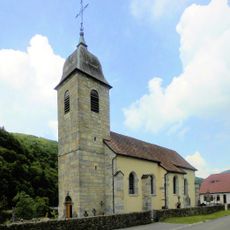
Église Saint-Laurent de Soulce-Cernay
10.5 km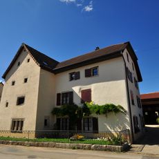
Bout-Dessous 19 residential building
8.8 km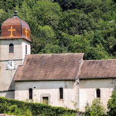
Église Saint-Luc-et-Sainte-Colombe de Vaufrey
5.4 km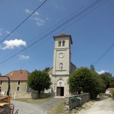
Église Saint-Mamès de Villars-lès-Blamont
9.8 km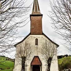
Chapelle Saint-Ursanne d'Indevillers
4.6 km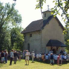
Chapelle Sainte-Anne du Plain
7.2 km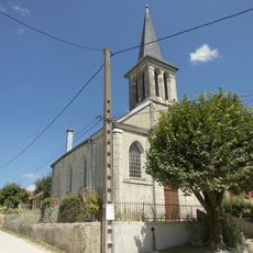
Temple de Villars-lès-Blamont
9.7 kmVisited this place? Tap the stars to rate it and share your experience / photos with the community! Try now! You can cancel it anytime.
Discover hidden gems everywhere you go!
From secret cafés to breathtaking viewpoints, skip the crowded tourist spots and find places that match your style. Our app makes it easy with voice search, smart filtering, route optimization, and insider tips from travelers worldwide. Download now for the complete mobile experience.

A unique approach to discovering new places❞
— Le Figaro
All the places worth exploring❞
— France Info
A tailor-made excursion in just a few clicks❞
— 20 Minutes