
Mainfonds, former commune in Charente, France
Location: canton of Blanzac-Porcheresse
Location: Charente
Location: Arrondissement of Angoulême
Industry: administration publique générale
Shares border with: Val des Vignes, Champagne-Vigny, Claix, Étriac, Aubeville
GPS coordinates: 45.51806,0.01917
Latest update: March 2, 2025 21:38
Saintes to Périgueux roman road
5.2 km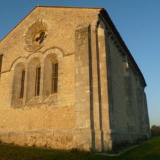
Commandry of Cressac
6.4 km
Logis du Maine-Giraud
2.5 km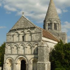
Église Saint-Cybard de Plassac
3.6 km
Église Saint-Cybard de Roullet
7.6 km
Église Saint-Arthémy
4.8 km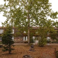
Domaine de la Forêt
4.7 km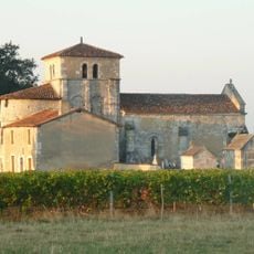
Église Saint-Cybard de Porcheresse
7.3 km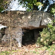
Dolmen de la Boucharderie
4.5 km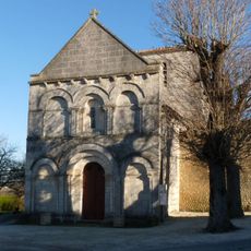
Église Saint-Christophe de Champagne-Vigny
1.8 km
Église Saint-Gervais
7.5 km
Église Saint-Christophe de Claix
4.4 km
Église Saint-Hilaire de Péreuil
5.2 km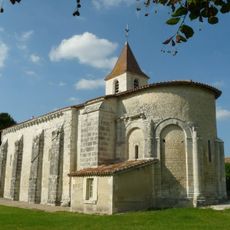
Église Saint-Martin de Ladiville
6.6 km
Église Notre-Dame de Birac
8 km
Église Saint-Barthélemy
5.5 km
Église Saint-Barthélemy d'Angeduc
7.3 km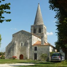
Église Saint-Estèphe (Saint-Estèphe, Charente)
6.8 km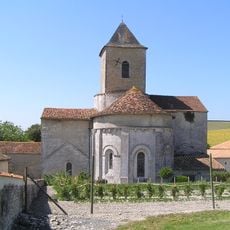
Église Saint-Médard de Mainfonds
31 m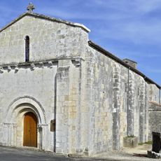
Église Saint-Germain
3.6 km
Église Saint-Pierre de Jurignac
4.7 km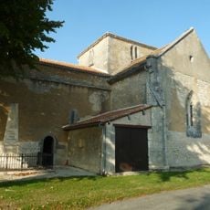
Église Saint-Cybard d'Aubeville
3.9 km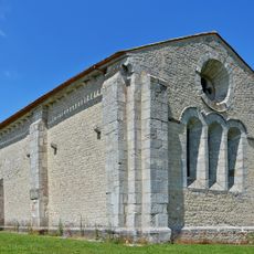
Chapelle des Templiers de la commanderie de Dognon de Cressac-Saint-Genis
6.4 km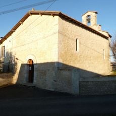
Église de Saint-Léger
6.8 km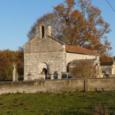
Église Saint-Genis de Saint-Genis
7.8 km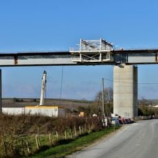
Font des Filles Viaduct
6 km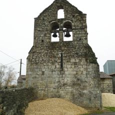
Chapelle Saint-Jean-Baptiste de Rouffiac
6 km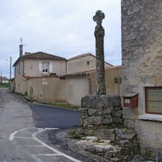
Croix de carrefour de Mouthiers-sur-Boëme
7.5 kmReviews
Visited this place? Tap the stars to rate it and share your experience / photos with the community! Try now! You can cancel it anytime.
Discover hidden gems everywhere you go!
From secret cafés to breathtaking viewpoints, skip the crowded tourist spots and find places that match your style. Our app makes it easy with voice search, smart filtering, route optimization, and insider tips from travelers worldwide. Download now for the complete mobile experience.

A unique approach to discovering new places❞
— Le Figaro
All the places worth exploring❞
— France Info
A tailor-made excursion in just a few clicks❞
— 20 Minutes