Semur-en-Brionnais

Log in to your account

AroundUs is a community-driven map of interesting places, built by curious explorers like you. It grows with every review, story, and photo you share.
Connect to save your favorite spots, contribute locations, and create personalized routes.
Continue with Google
Continue with Apple
Continue with X
Continue with Facebook
Continue with email
By continuing, you accept our Terms and Conditions and our Privacy Policy
Create an account
Add to collection
Map
Suggest a change
Share

Semur-en-Brionnais, Medieval village in Saône-et-Loire, France

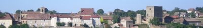
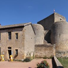
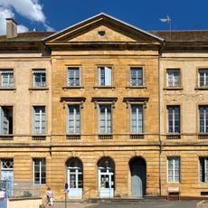
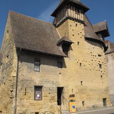
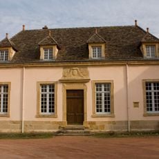
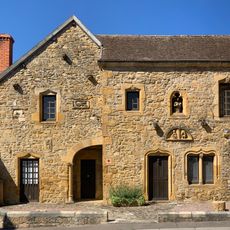
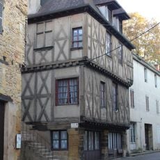
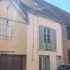
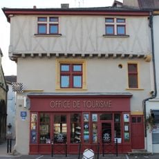
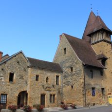
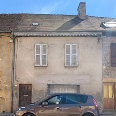
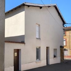
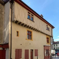
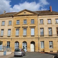
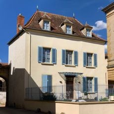
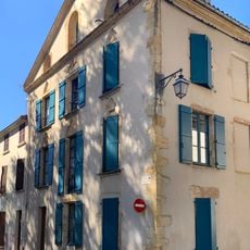
Semur-en-Brionnais is a small commune in eastern France within Saône-et-Loire and covers an area of around 115 square kilometers with stone buildings and preserved fortifications from medieval times. The settlement is dominated by the Château Saint Hugues, a fortress founded by Saint Hugues himself, which overlooks the surrounding Brionnais countryside.

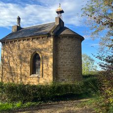
The Château Saint Hugues was built in the 9th century and stands as one of the oldest castles in Burgundy, giving the region considerable historical weight. The village is deeply tied to Saint Hugues, whose legacy shaped the area for centuries to come.

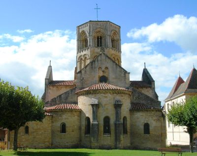
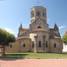
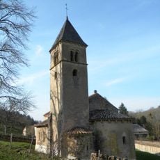
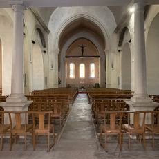
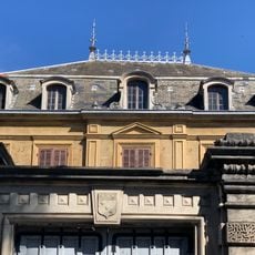
The Collegiale Saint Hilaire church with its Romanesque design shapes how the village looks and gathers people for celebrations and religious occasions throughout the year. It reflects a way of life centered on faith that has been part of this place for centuries.

The village is easily reached via established road networks and offers basic services for visitors wanting to explore the area. Spring and autumn are the best times to visit, when the weather is mild and the surrounding countryside looks its best.

Saint Hugues, founder of the influential Cluny Abbey in 1024, was born in this village and shaped Europe's religious landscape through his work. The place is now part of Les Plus Beaux Villages de France, drawing visitors interested in the link between this modest birthplace and one of the Middle Ages' most important monastic centers.

Location: Saône-et-Loire

Location: arrondissement of Charolles

Elevation above the sea: 377 m

Shares border with: Sarry, Anzy-le-Duc, Baugy, Marcigny, Sainte-Foy, Saint-Julien-de-Jonzy, Saint-Martin-du-Lac

Phone: +33385250294

Email: mairie.semur.en.brionnais@wanadoo.fr

Website: http://semur-en-brionnais.fr

GPS coordinates: 46.26278,4.09083

Latest update: December 6, 2025 17:40

Photos
Historical sites in Saône-et-Loire: must-visit places to explore in the department

Saône-et-Loire holds a heritage that goes far beyond scenery. In the heights of Morvan lie traces of Bibracte, an ancient oppidum where Gallic history took shape. Autun displays Roman power through one of the country's largest ancient theaters. To the south, fortified villages, Romanesque abbeys,...

Reviews

Visited this place? Tap the stars to rate it and share your experience / photos with the community! Try now! You can cancel it anytime.

« Semur-en-Brionnais - Medieval village in Saône-et-Loire, France » is provided by Around Us (aroundus.com). Images and texts are derived from Wikimedia project under a Creative Commons license. You are allowed to copy, distribute, and modify copies of this page, under the conditions set by the license, as long as this note is clearly visible.

Discover hidden gems everywhere you go!

From secret cafés to breathtaking viewpoints, skip the crowded tourist spots and find places that match your style. Our app makes it easy with voice search, smart filtering, route optimization, and insider tips from travelers worldwide. Download now for the complete mobile experience.

Around Us App Screenshot

A unique approach to discovering new places

Le Figaro

All the places worth exploring

France Info

A tailor-made excursion in just a few clicks

20 Minutes