Tudelle, commune in Gers, France
Location: canton of Vic-Fezensac
Location: Gers
Location: arrondissement of Auch
Elevation above the sea: 210 m
Industry: administration publique générale
Shares border with: Bazian, Belmont, Cazaux-d'Anglès, Roquebrune
Phone: +33562064623
Email: mairie.tudelle@wanadoo.fr
GPS coordinates: 43.67917,0.28917
Latest update: March 7, 2025 12:22
Château de Castelmore
11.1 km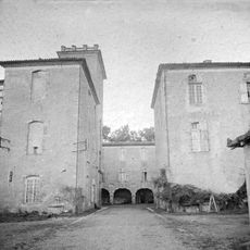
Castle of Mazères
10.2 km
Château de Bassoues
11.6 km
Château de Herrebouc
10.2 km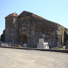
Basilique Saint-Fris, Bassoues
11.4 km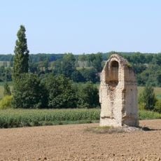
Tour de Biran
8.7 km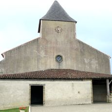
Église Saint-Mamet de Peyrusse-Grande
8 km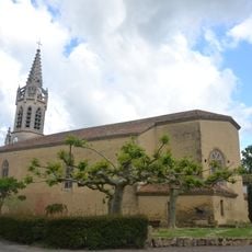
Église de Lupiac
8.7 km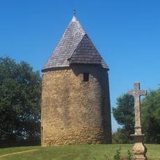
Moulin de Lupiac
9.1 km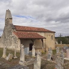
Église Saint-Orens de Laas
3.9 km
Église Saint-André de Ramensan
8.8 km
Église Saint-André de Peyrusse-Vieille
10.4 km
Église Saint-Pierre de Tabaux
6.2 km
Chapelle Notre-Dame-de-Brétous de Saint-Arailles
8.6 km
Église Saint-Pierre de Vic-Fezensac
9 km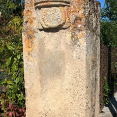
Borne de Biran
10.6 km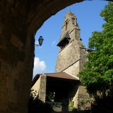
Église Saint-Barthélemy de Saint-Arailles
8 km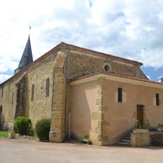
Église de Gazax
11.2 km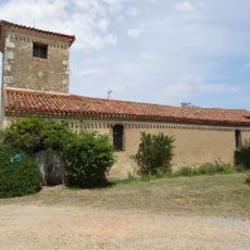
Église Saint-Jean-l'Évangéliste de Monbert
8.7 km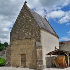
Chapelle Notre Dame de Lupiac
8.8 km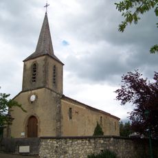
Église Saint-Pierre de Saint-Pierre-d'Aubézies
10.7 km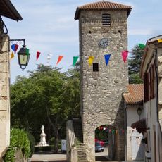
Vieille porte de Biran
10.7 km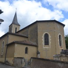
Église de Belmont
4.1 km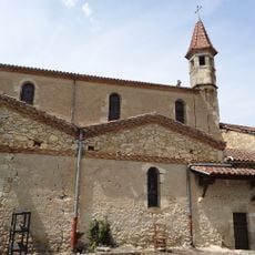
Église Notre-Dame-de-Pitié de Biran
10.5 km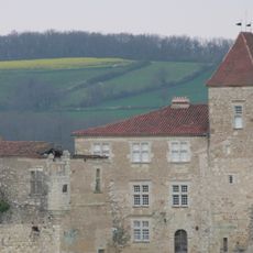
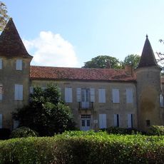
Château de Bazian
2.8 km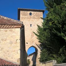
Tour de Bazian
2.9 km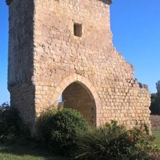
Porte fortifiée de Saint-Yors
3 km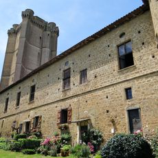
Château du XVIIe siècle
11.6 kmReviews
Visited this place? Tap the stars to rate it and share your experience / photos with the community! Try now! You can cancel it anytime.
Discover hidden gems everywhere you go!
From secret cafés to breathtaking viewpoints, skip the crowded tourist spots and find places that match your style. Our app makes it easy with voice search, smart filtering, route optimization, and insider tips from travelers worldwide. Download now for the complete mobile experience.

A unique approach to discovering new places❞
— Le Figaro
All the places worth exploring❞
— France Info
A tailor-made excursion in just a few clicks❞
— 20 Minutes