Canal de l'Oise à l'Aisne, Summit level canal in Hauts-de-France, France
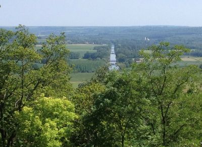
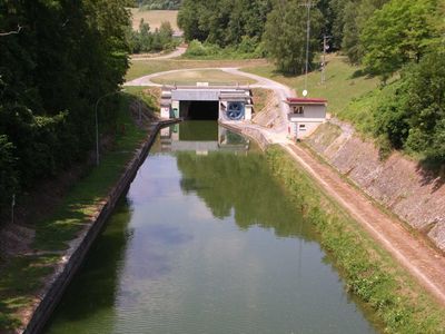
The Canal de l'Oise à l'Aisne is a summit level waterway in the Hauts-de-France region that stretches across the countryside between two major canal networks. The waterway carries boats through rural landscapes and includes several locks that manage elevation changes along its course.
The waterway was completed in the late 1800s as a regional transport route connecting two existing canal systems. This project responded to the need for improved water-based commerce in northern France.
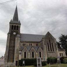
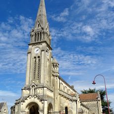
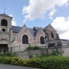
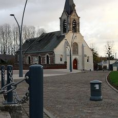
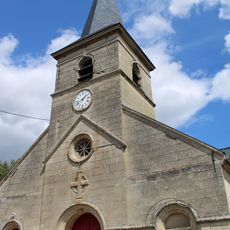
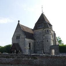
The waterway flows through multiple French communities, where local residents maintain traditional practices of fishing and recreational boating along its course.
The waterway is accessible at several points along its length and suitable for recreational boats and longer journeys. Visitors should check current conditions and lock operation times before planning a trip.
Along its course, the route passes through a notably long tunnel that carries the water beneath a ridge of land. This engineering solution was necessary during construction to work around the difficult terrain.
GPS coordinates: 49.59194,3.19028
Latest update: December 14, 2025 11:02
Église Saint-Martin de Chauny
3.2 km
Église Saint-Martin de Bichancourt
2.1 km
Église Saint-Laurent de Saint-Paul-aux-Bois
6.4 km
Église Notre-Dame de Chauny
2.9 km
Église Saint-Martin de Viry-Noureuil
5.8 km
Église Saint-Pierre de Caillouël-Crépigny
5.5 km
Nécropole nationale de Champs
6.3 km
Église Saint-Brice de Marest
2.8 km
Pâtisserie du marché couvert
3.1 km
Église Saint-Martin de Pierremande
4.9 km
Église Saint-Martin de Neuflieux
3.8 km
Église Saint-Médard de Sinceny
4 km
Église Saint-Rémi d'Autreville
3.6 km
Chauny Communal Cemetery British Extension
4 km
Église Saint-Pierre de Manicamp
2.6 km
Église Saint-Médard de Béthancourt-en-Vaux
5.1 km
Ancienne église Saint-Pierre
4.5 km
Église Saint-Georges d'Ognes
2 km
Église Notre-Dame de Commenchon
5.7 km
Église Notre-Dame de Quierzy
4.1 km
Église Saint-Amand de Bourguignon-sous-Coucy
5.9 km
Église Saint-Jean-Baptiste d'Abbécourt
729 m
Champs German military cemetery
6.3 km
Église Saint-Martin d'Appilly
5.4 km
Église Saint-Hubert de Brétigny
6.3 km
Église Notre-Dame de Mondescourt
5.6 km
Église Saint-Pierre de Caumont
4.7 km
Chapelle Sainte-Marguerite de Dampcourt
3.8 kmVisited this place? Tap the stars to rate it and share your experience / photos with the community! Try now! You can cancel it anytime.
Discover hidden gems everywhere you go!
From secret cafés to breathtaking viewpoints, skip the crowded tourist spots and find places that match your style. Our app makes it easy with voice search, smart filtering, route optimization, and insider tips from travelers worldwide. Download now for the complete mobile experience.
A unique approach to discovering new places❞
— Le Figaro
All the places worth exploring❞
— France Info
A tailor-made excursion in just a few clicks❞
— 20 Minutes