
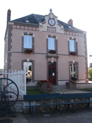
Saint-Pellerin, former commune in Eure-et-Loir, France
Location: canton of Cloyes-sur-le-Loir
Location: Eure-et-Loir
Location: arrondissement of Châteaudun
Shares border with: Courtalain, Le Poislay, Boisgasson
GPS coordinates: 48.07139,1.14139
Latest update: March 12, 2025 02:05
Château de Montigny-le-Gannelon
9.6 km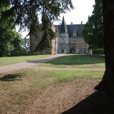
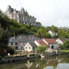
Château de Courtalain
1.2 km
Bois-Ruffin tower
8 km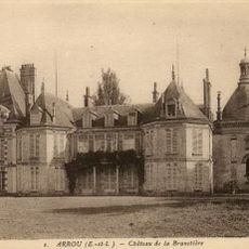
Château de la Brunetière
3.1 km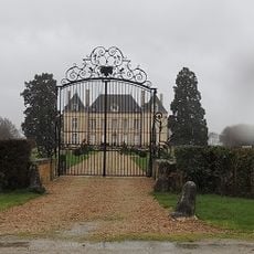
Villemesle château
3.4 km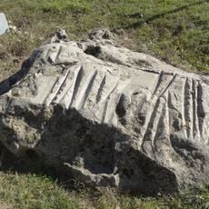
Pierre Cochée
5.6 km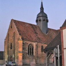
Église Saint-Hilaire de Châtillon-en-Dunois
6 km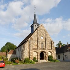
Église Saint-Loup-Saint-Gilles de La Fontenelle
8.8 km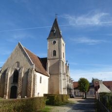
Église Saint-Pierre, Lanneray
7.6 km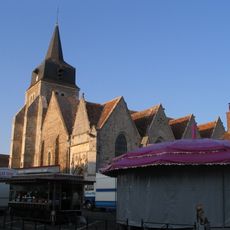
Église Saint-Lubin
3.3 km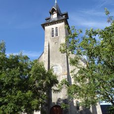
Église de la Sainte-Trinité, Douy
10.4 km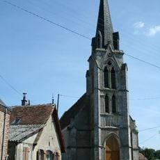
Église Saint-Marc de Fontaine-Raoul
9 km
Église Saint-Laurent de Ruan-sur-Egvonne
6.5 km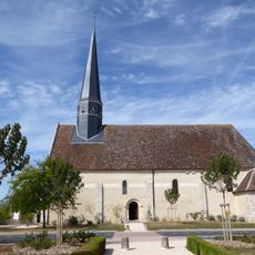
Église Saint-Pierre, Langey
4.5 km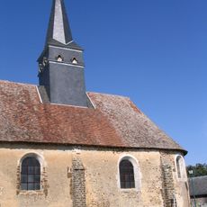
Église Saint-Pérégrin du Poislay
5.7 km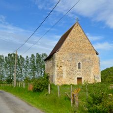
Chapelle Saint-Pierre de Vouvray
9.8 km
Château de la Brosse
7.2 km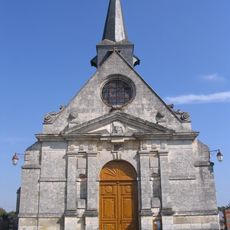
Église Saint-Nicolas de Bourguérin
5.9 km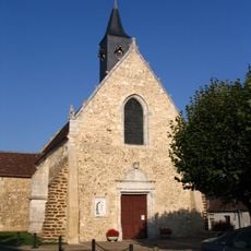
Église Saint-Pellerin
100 m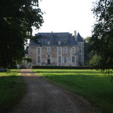
Château de Chaussepot
2.3 km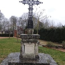
Croix de cimetière de Boisgasson
2.7 km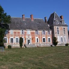
Château de Droué
6.2 km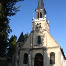
Église Saint-Jean de Courtalain
1.1 km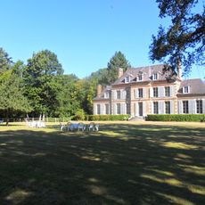
Château de Bois-Méan, Arrou
8.4 km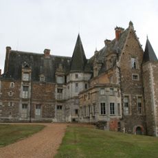
Château de Courtalain
1.2 km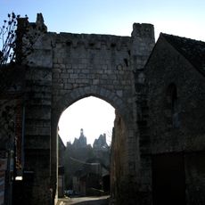
Porte Roland
9.4 km
Polissoir des Griffes du Diable
2.4 km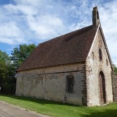
Chapelle Saint-Benoist, Arrou
9.4 kmReviews
Visited this place? Tap the stars to rate it and share your experience / photos with the community! Try now! You can cancel it anytime.
Discover hidden gems everywhere you go!
From secret cafés to breathtaking viewpoints, skip the crowded tourist spots and find places that match your style. Our app makes it easy with voice search, smart filtering, route optimization, and insider tips from travelers worldwide. Download now for the complete mobile experience.

A unique approach to discovering new places❞
— Le Figaro
All the places worth exploring❞
— France Info
A tailor-made excursion in just a few clicks❞
— 20 Minutes