
Laissac, former commune in Aveyron, France
Location: canton of Laissac
Location: Aveyron
Location: arrondissement of Rodez
Elevation above the sea: 738 m
Shares border with: Arques, Bertholène, Palmas-d'Aveyron, Ségur, Palmas
GPS coordinates: 44.38111,2.82250
Latest update: May 28, 2025 09:21
Château des Bourines
4.3 km
Château de Galinières
7.8 km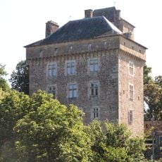
Château de Montrozier
6.7 km
Château de Bertholène
3.9 km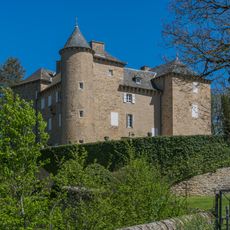
Château de Lugans
5.6 km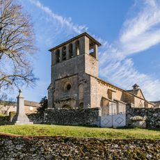
Église Saint-Agnan de Ségur
8.1 km
Pont sur l'Aveyron de Montrozier
6.8 km
Église Saint-Martin de Saint-Martin-de-Cormières
6.7 km
Dolmens de Surguières
8.8 km
Église Saint-Laurent de Cruéjouls
7.5 km
Église Saint-Maurice d'Anglars
4.6 km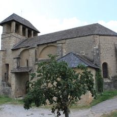
Église Saint-Vincent de Palmas
2.1 km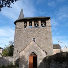
Église Saint-Julien d'Ayrinhac
2.5 km
Parc Animalier Le Saint-Hubert
9.3 km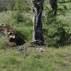
Dolmens des Bourines
5 km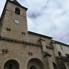
Église Saint-Jean-Baptiste de Gaillac-d'Aveyron
9 km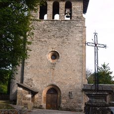
Église Sainte-Anne d'Arques
7.4 km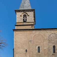
Saint Peter church in Ségur
9.8 km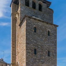
Belfry in Coussergues
5.6 km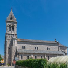
Church of Coussergues
5.5 km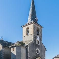
Church in Le Vibal
9.1 km
Saint Faith Church
6.6 km
Église Sainte-Foy de Trebosc
7.2 km
Église de Lissirou
5.9 km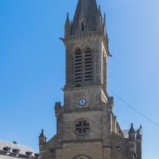
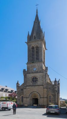
Saint Felix Church in Laissac
168 m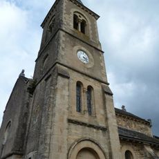
Église Saint-André de Gagnac
5.4 km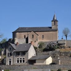
Église Saint-Amans de Bertholène
3.7 km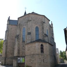
Église de l'Assomption de Sévérac-l'Église
2.9 kmReviews
Visited this place? Tap the stars to rate it and share your experience / photos with the community! Try now! You can cancel it anytime.
Discover hidden gems everywhere you go!
From secret cafés to breathtaking viewpoints, skip the crowded tourist spots and find places that match your style. Our app makes it easy with voice search, smart filtering, route optimization, and insider tips from travelers worldwide. Download now for the complete mobile experience.

A unique approach to discovering new places❞
— Le Figaro
All the places worth exploring❞
— France Info
A tailor-made excursion in just a few clicks❞
— 20 Minutes