
Thoirette, former commune in Jura, France
Location: canton of Arinthod
Location: Jura
Location: arrondissement of Lons-le-Saunier
Shares border with: Corveissiat, Matafelon-Granges, Aromas, Coisia, Cornod, Vosbles
GPS coordinates: 46.27111,5.53250
Latest update: May 26, 2025 12:29
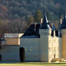
Château de Cornod
4.8 km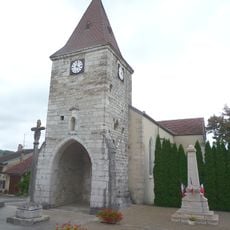
Croix d'Aromas
4.6 km
Château de Montdidier
2.6 km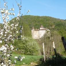
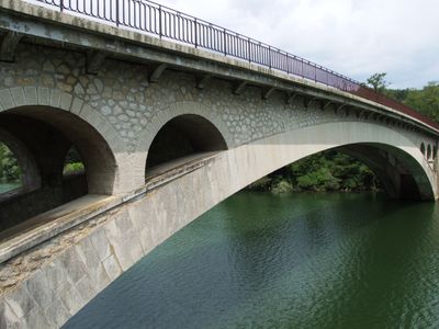
Château de Coiselet
4.7 km
Église Saint-Maurice de Saint-Maurice-d'Échazeaux
2.7 km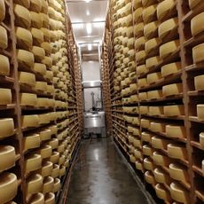
Coopérative fromagère des Erythrônes
3.7 km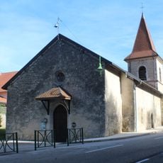
Église Saint-Cyr-et-Sainte-Julitte de Matafelon
1.9 km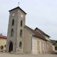
Église Saint-Barthélemy de Samognat
3.7 km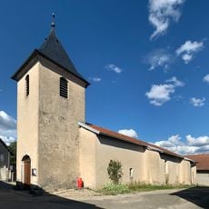
Église Saint-Laurent de Sonthonnax-la-Montagne
4.2 km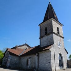
Église Saint-Georges de Corveissiat
4.8 km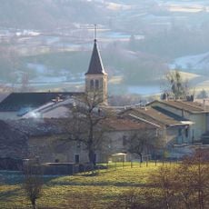
Église Saint-Martin de Cornod
4.8 km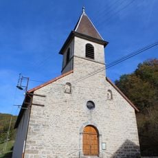
Église de l'Assomption-de-la-Mère-de-Dieu de Thoirette
65 m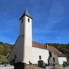
Église Saint-Pierre de Coisia
5.3 km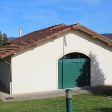
Town hall of Matafelon-Granges
2 km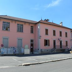
Town hall of Corveissiat
4.9 km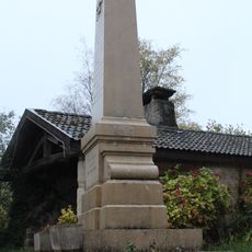
War memorial of Granges
4.5 km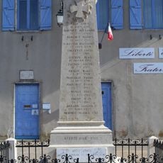
War memorial of Sonthonnax-la-Montagne
4.5 km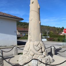
War memorial of Matafelon
2.1 km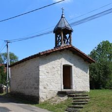
Chapelle Saint-Joseph de Saint-Maurice-d'Échazeaux
3.6 km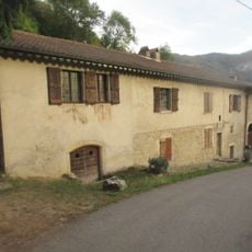
Birthplace of Xavier Bichat
370 m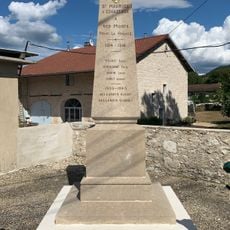
War memorial of Saint-Maurice-d'Échazeaux
3.5 km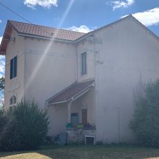
Ancienne mairie de Saint-Maurice-d'Échazeaux
3.6 km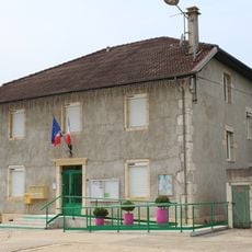
Town hall of Samognat
3.6 km
War memorial of Samognat
3.6 km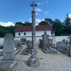
Cemetery cross of Corveissiat
4.9 km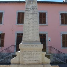
War memorial of Corveissiat
4.9 km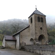
Chapelle Saint-Antoine de Granges
4.5 km
Golf du Haut Bugey
3.4 kmVisited this place? Tap the stars to rate it and share your experience / photos with the community! Try now! You can cancel it anytime.
Discover hidden gems everywhere you go!
From secret cafés to breathtaking viewpoints, skip the crowded tourist spots and find places that match your style. Our app makes it easy with voice search, smart filtering, route optimization, and insider tips from travelers worldwide. Download now for the complete mobile experience.

A unique approach to discovering new places❞
— Le Figaro
All the places worth exploring❞
— France Info
A tailor-made excursion in just a few clicks❞
— 20 Minutes