
Warneton, commune in Nord, France
Location: Lille metropolis
Location: Nord
Location: arrondissement of Lille
Elevation above the sea: 17 m
Website: http://mairie-warneton.fr/
Shares border with: Comines, Deûlémont
Website: http://mairie-warneton.fr
GPS coordinates: 50.74722,2.95250
Latest update: May 28, 2025 13:54
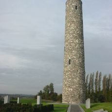
Island of Ireland Peace Park
4.3 km
Église Saint-Chrysole de Comines
4.4 km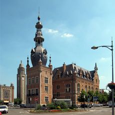
Town hall of Comines
4.3 km
Saint Nicholas' Church
4.2 km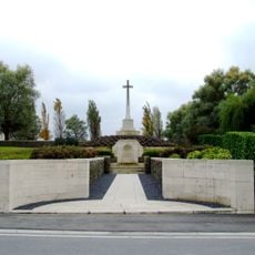
Messines Ridge British Cemetery
4.7 km
Église Saint-Chrysole de Comines
4 km
Prowse Point Military Cemetery
3.8 km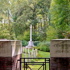
Rifle House Cemetery
3.8 km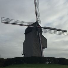
Soetemolen
5.5 km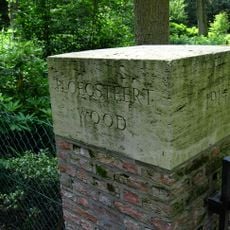
Ploegsteert Wood Military Cemetery
3.9 km
Wervicq-Sud German military cemetery
6.5 km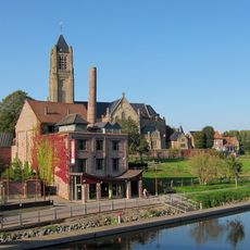
Musée de la Brasserie de Warneton
550 m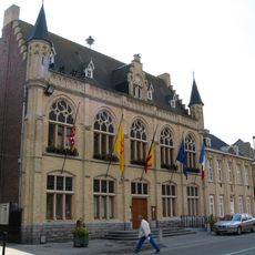
Town hall of Comines-Warneton
4.1 km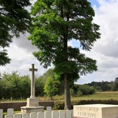
Mud Corner Cemetery
3.9 km
Église Saints-Pierre-et-Paul
672 m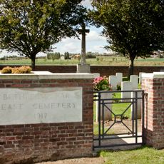
Bethleem Farm East Cemetery
3.3 km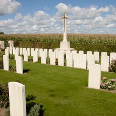
Cabin Hill Cemetery
4.5 km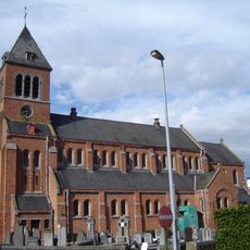
Église Notre-Dame de l'Assomption
4.5 km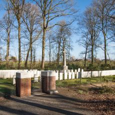
Toronto Avenue Cemetery
3.8 km
Belfry of Comines
4.3 km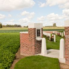
Bethleem Farm West Cemetery
3.5 km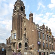
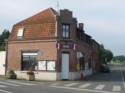
Town hall of Warneton
679 m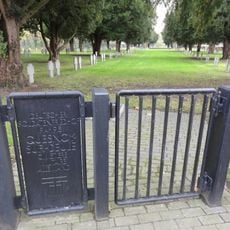
Quesnoy-sur-Deûle German military cemetery
5.4 km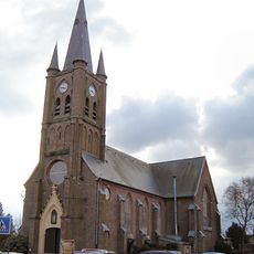
Église Sainte-Marguerite
4.3 km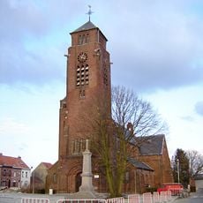
Église Saint-Martin
1.5 km
Saint Symphorian Church
1.5 km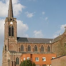
Église Saint-Michel de Quesnoy-sur-Deûle
5.1 km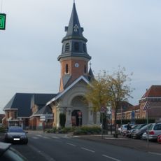
Église Saint-Amand de Frelinghien
4.2 kmReviews
Visited this place? Tap the stars to rate it and share your experience / photos with the community! Try now! You can cancel it anytime.
Discover hidden gems everywhere you go!
From secret cafés to breathtaking viewpoints, skip the crowded tourist spots and find places that match your style. Our app makes it easy with voice search, smart filtering, route optimization, and insider tips from travelers worldwide. Download now for the complete mobile experience.

A unique approach to discovering new places❞
— Le Figaro
All the places worth exploring❞
— France Info
A tailor-made excursion in just a few clicks❞
— 20 Minutes