
Le Cuing, commune in Haute-Garonne, France
Location: canton of Montréjeau
Location: Haute-Garonne
Location: arrondissement of Saint-Gaudens
Elevation above the sea: 412 m
Industry: administration publique générale
Shares border with: Bordes-de-Rivière, Clarac, Larroque, Lodes, Loudet, Ponlat-Taillebourg, Saint-Ignan, Saint-Plancard, Saux-et-Pomarède
Address: 2 chemin de la Cabanère, 31210 Le Cuing 31210 31210
Phone: +33561895436
Email: lecuing@orange.fr
Website: https://lecuing.fr
GPS coordinates: 43.14528,0.61167
Latest update: March 28, 2025 00:22
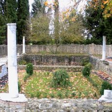
Villa rustica of Lassalles
8.4 km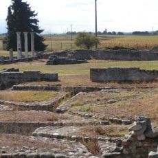
Villa gallo-romaine de Nymfius
8.3 km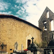
Chapelle Saint-Jean-des-Vignes de Saint-Plancard
4.5 km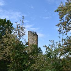
Château de Larroque
5.3 km
Pont de Gourdan
7.6 km
Église Saint-Pancrace de Saint-Plancard
4.1 km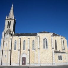
Église Notre-Dame de l'Assomption des Tourreilles
6.1 km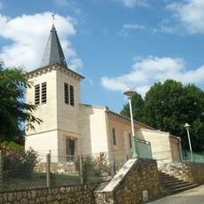
Église Saint-Germier de Cazaril-Tambourès
7 km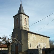
Église Saint-Blaise de Clarac
5.6 km
Église Saint-Saturnin de Larroque
5.6 km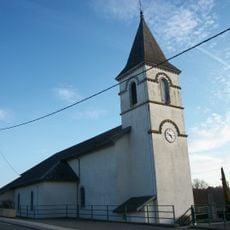
Église Notre-Dame de Loudet
3.1 km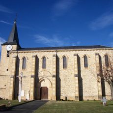
Église Notre-Dame de Franquevielle
6.5 km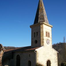
Église Saint-Michel de Sédeilhac
4.5 km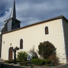
Église Saint-Pierre d'Ausson
7.3 km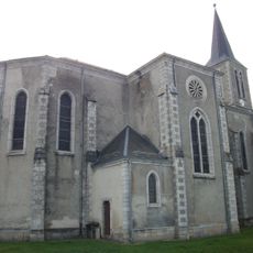
Église Saint-Martin de Bordes-de-Rivière
4.8 km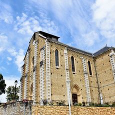
Église Saint-Ignace de Saint-Ignan
6.8 km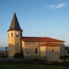
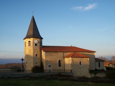
Église Saint-Pierre du Cuing
337 m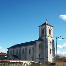
Église Saint-Jean de Ponlat-Taillebourg
4 km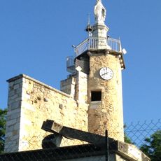
Ancienne église paroissiale de Villeneuve-de-Rivière
4.9 km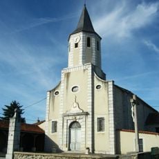
Église Saint-Pierre-ès-Liens de Pointis-de-Rivière
6.5 km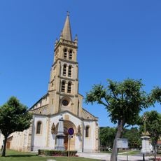
Église de l'Assomption de Villeneuve-de-Rivière
5.2 km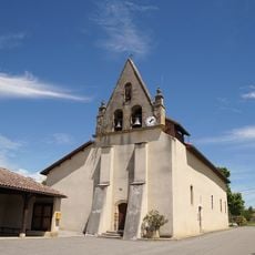
Église Saint-Jean-Baptiste de Lodes
5.8 km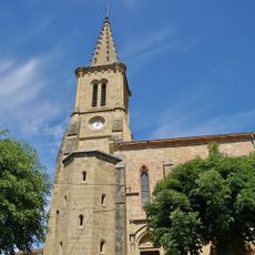
Église Saint-Vincent de Cardeilhac
8.3 km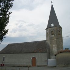
Église Saint-Blaise de Balesta
7 km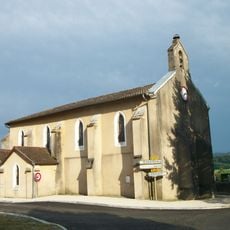
Église Saint-Georges de Sarrecave
7.9 km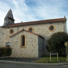
Église Saint-Barthélemy de Martres-de-Rivière
7.8 km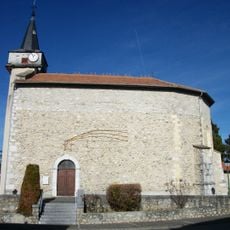
Église Saint-Saturnin d'Huos
7.5 km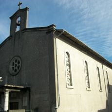
Chapelle du Petit Séminaire de Montréjeau
7.5 kmReviews
Visited this place? Tap the stars to rate it and share your experience / photos with the community! Try now! You can cancel it anytime.
Discover hidden gems everywhere you go!
From secret cafés to breathtaking viewpoints, skip the crowded tourist spots and find places that match your style. Our app makes it easy with voice search, smart filtering, route optimization, and insider tips from travelers worldwide. Download now for the complete mobile experience.

A unique approach to discovering new places❞
— Le Figaro
All the places worth exploring❞
— France Info
A tailor-made excursion in just a few clicks❞
— 20 Minutes