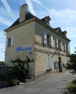
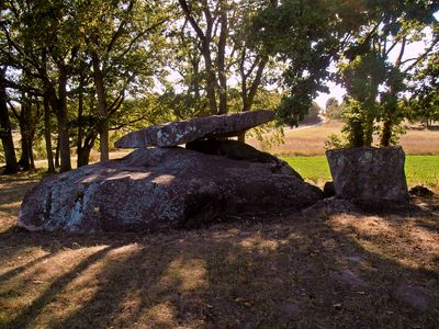
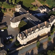
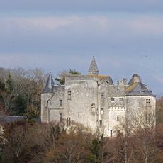
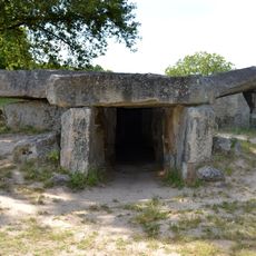
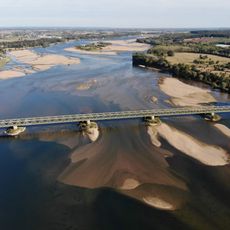
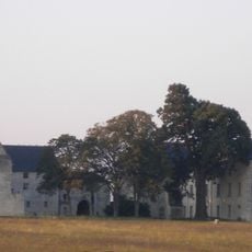
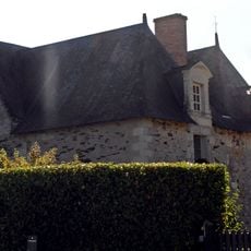
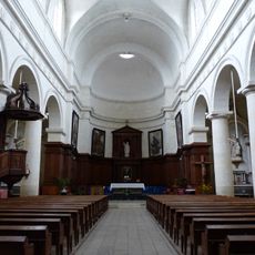
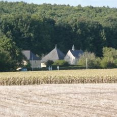
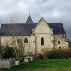
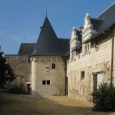
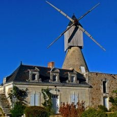
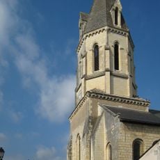
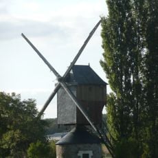
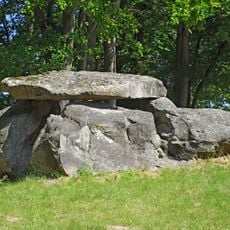
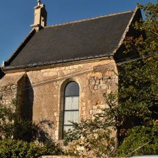
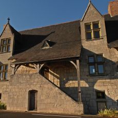
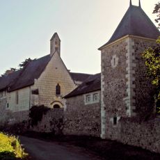
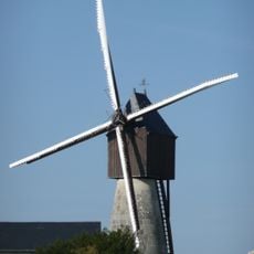
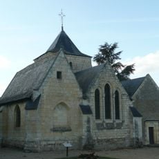
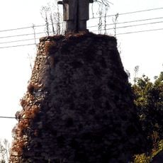
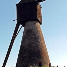
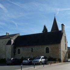
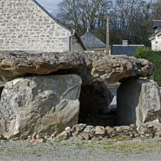
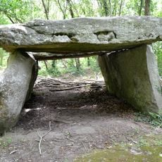
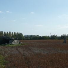
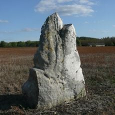
Coutures, former commune in Maine-et-Loire, France
Location: canton of Gennes
Location: Maine-et-Loire
Location: arrondissement of Saumur
Elevation above the sea: 57 m
Shares border with: Blaison-Saint-Sulpice, Chemellier, Saint-Rémy-la-Varenne
GPS coordinates: 47.36250,-0.35528
Latest update: June 14, 2025 08:48
Glanfeuil Abbey
6.3 km
Château de Montsabert
1.7 km
La Bajoulière dolmen
4.4 km
Pont de Saint-Mathurin-sur-Loire
5.7 km
Château de Pimpéan
4.6 km
Manoir de la Fosse
6.1 km
Église paroissiale de Saint-Mathurin-sur-Loire
5.9 km
Logis de la Bluttière
3.4 km
Église Saint-aubin de Blaison-Gohier
4.3 km
Prieuré de Saint-Rémy
5 km
Moulin de Bourgdion
3 km
Église Saint-Rémy
4.9 km
Moulin de Patouillet
2.4 km
L’Étiau dolmen
2.6 km
Chapelle Saint-Jean
5.7 km
Église Saint-Barnabé de Saint-Georges-des-Sept-Voies
5.2 km
Maison de L'Ecce Homo
6.1 km
Manoir de Chauvigné
4.3 km
Moulin-cavier de Gasté
4.2 km
Église Saint-Pierre de Charcé
4.3 km
Grand Moulin de Saint-Saturnin-sur-Loire
6.1 km
Moulin à vent des Quatre Croix
6.1 km
Église Saint-Pierre de Coutures
61 m
Caillère dolmen
1.5 km
Pierre Couverte du Moulin de Piau
2.3 km
Dolmen de Charcé
4.7 km
Cromlech de Charcé
4.7 km
Loire Odyssée
5.8 kmReviews
Visited this place? Tap the stars to rate it and share your experience / photos with the community! Try now! You can cancel it anytime.
Discover hidden gems everywhere you go!
From secret cafés to breathtaking viewpoints, skip the crowded tourist spots and find places that match your style. Our app makes it easy with voice search, smart filtering, route optimization, and insider tips from travelers worldwide. Download now for the complete mobile experience.
A unique approach to discovering new places❞
— Le Figaro
All the places worth exploring❞
— France Info
A tailor-made excursion in just a few clicks❞
— 20 Minutes