
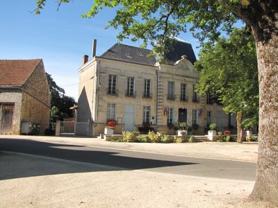
Thédirac, commune in Lot, France
Location: canton of Salviac
Location: Lot
Location: arrondissement of Gourdon
Elevation above the sea: 270 m
Industry: administration publique générale
Shares border with: Catus, Gindou, Lavercantière, Montgesty, Peyrilles, Uzech
Phone: +33565227221
Email: mairiedethedirac@wanadoo.fr
GPS coordinates: 44.60056,1.31750
Latest update: April 7, 2025 19:00
Château de Lantis
8.4 km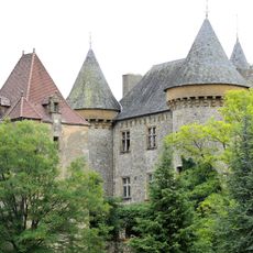
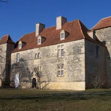
Château de Montcléra
8.7 km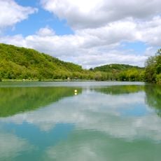
Lac Vert
5.8 km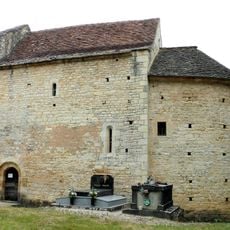
Chapelle Saint-André
6.5 km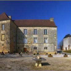
Château de Lavercantière
4 km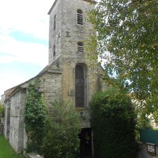
Église Notre-Dame de Dégagnazès
3.6 km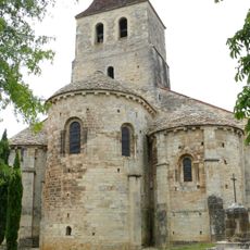
Église Saint-Laurent
5.2 km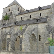
Prieuré Saint-Jean de Catus
5.2 km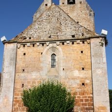
Église Saint-Martin de Canourgues
8.6 km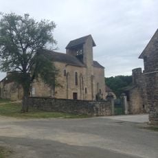
Église Saint-Hilaire de Salvezou
3.4 km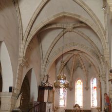
Église Notre-Dame-de-l'Assomption de Montgesty
2.8 km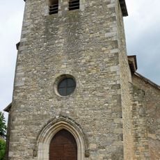
Église Saint-Roch de Thédirac
79 m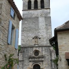
Église Notre-Dame de Lherm
6.7 km
Maison forte de Labastide-Floyras
6.9 km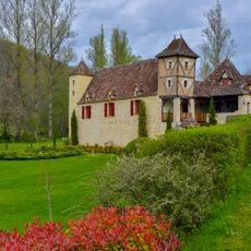
Maison aux pigeonniers
9.4 km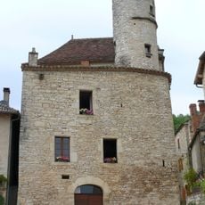
Maison Carlier
6.8 km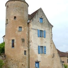
Doyenné des Arques
5.3 km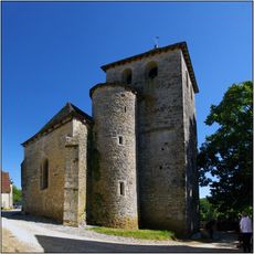
Église Saint-Pierre-ès-Liens de Rampoux
4.6 km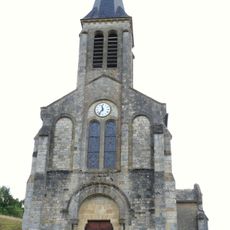
Église Saint-Jean-Baptiste de Concorès
8.8 km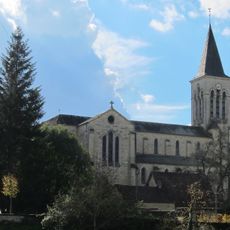
Église Saint-Vincent de Dégagnac
8.2 km
Église Saint-Martin de Nuzéjouls
8.5 km
Église Saint-Grégoire de Boissières
9.1 km
Église Saint-Quirin de Lavercantière
4.1 km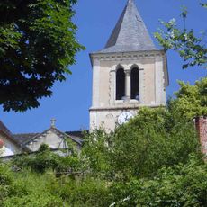
Église Saint-Denis de Saint-Denis-Catus
7.1 km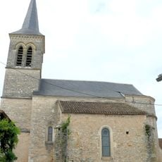
Église Saint-Pierre-ès-Liens de Pontcirq
7.3 km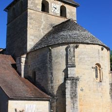
Église Saint-Barthélemy de Gindou
6.4 km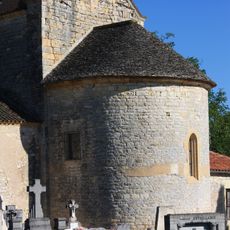
Maussac - Eglise Saint-Jean-Baptiste
3.2 km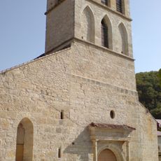
Église Saint-Pierre-ès-Liens de Peyrilles
8 kmVisited this place? Tap the stars to rate it and share your experience / photos with the community! Try now! You can cancel it anytime.
Discover hidden gems everywhere you go!
From secret cafés to breathtaking viewpoints, skip the crowded tourist spots and find places that match your style. Our app makes it easy with voice search, smart filtering, route optimization, and insider tips from travelers worldwide. Download now for the complete mobile experience.

A unique approach to discovering new places❞
— Le Figaro
All the places worth exploring❞
— France Info
A tailor-made excursion in just a few clicks❞
— 20 Minutes