
Verfeil, commune in Tarn-et-Garonne, France
Location: canton of Saint-Antonin-Noble-Val
Location: Tarn-et-Garonne
Location: arrondissement of Montauban
Elevation above the sea: 245 m
Shares border with: Najac, Espinas, Féneyrols, Ginals, Varen
Phone: +33563654608
Email: mairie-de-verfeil-sur-seye@wanadoo.fr
GPS coordinates: 44.18639,1.87639
Latest update: June 1, 2025 19:02
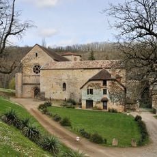
Beaulieu-en-Rouergue Abbey
3.2 km
Gare de Lexos
5 km
Château de Cornusson
5.6 km
Château de Pechrodil
6 km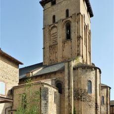
Église Saint-Pierre de Varen
3.5 km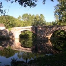
Pont Saint-Blaise de Najac
7.5 km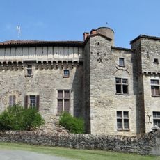
Château de Féneyrols
7.7 km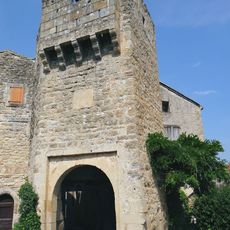
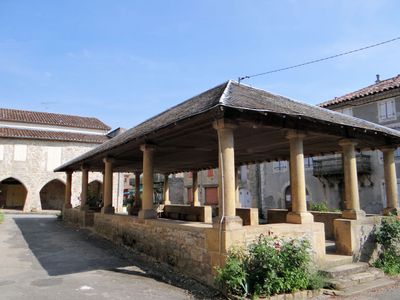
Porte fortifiée
3.5 km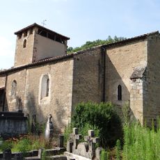
Église de Puech-Mignon
5.1 km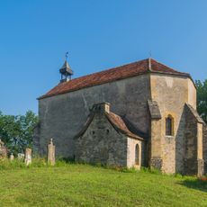
Chapelle de Teysseroles
8.3 km
Église Saint Pierre-ès-Liens de Milhars
6.7 km
Ancienne église de Cornusson
5.5 km
Église Saint-Vincent de Varen
3.6 km
Église de Saint-Igne
5.8 km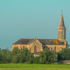
Église Saint Pierre-ès-Liens du Cuzoul
7.1 km
Église Saint-Martin d'Arnac
4.1 km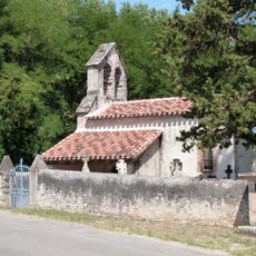
Église de la Nativité-de-Notre-Dame de Montrosier
6.3 km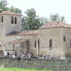
Église Saint-Jean-Baptiste de Féneyrols
7.7 km
Église de Cornusson
5.5 km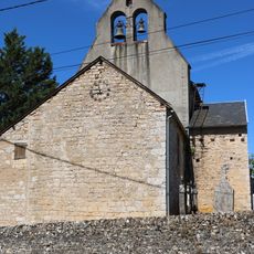
Église de la Nativité-de-Notre-Dame de Mordagne
7.1 km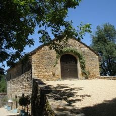
Grange de Cas
8.5 km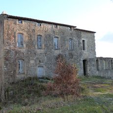
Château de Labro
7.6 km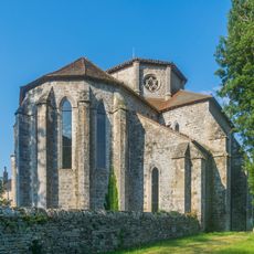
Abbatiale de l'abbaye Notre-Dame de Beaulieu-en-Rouergue
3.2 km
Église Saint-Pierre-ès-Liens
108 m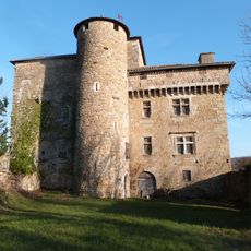
Château de Belpech
4 km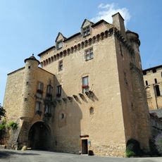
Doyenné de Varen
3.5 km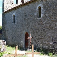
Église Saint-Clair de Quergoalle
5.6 km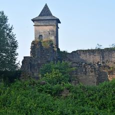
Ruines du château de Pervinquières
5 kmReviews
Visited this place? Tap the stars to rate it and share your experience / photos with the community! Try now! You can cancel it anytime.
Discover hidden gems everywhere you go!
From secret cafés to breathtaking viewpoints, skip the crowded tourist spots and find places that match your style. Our app makes it easy with voice search, smart filtering, route optimization, and insider tips from travelers worldwide. Download now for the complete mobile experience.

A unique approach to discovering new places❞
— Le Figaro
All the places worth exploring❞
— France Info
A tailor-made excursion in just a few clicks❞
— 20 Minutes