
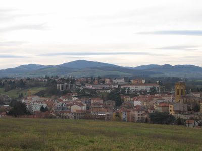
L'Arbresle, Administrative commune in Rhône, France
The town of L'Arbresle sits at an elevation of 231 meters above sea level and covers an area of 13.36 square kilometers.
L'Arbresle established its administrative significance in 1790 when it became the seat of a canton comprising 26 surrounding communes.
The inhabitants of L'Arbresle, known as Arbreslois and Arbresloises, maintain connections to notable figures like composer Claude Terrasse and inventor Barthélemy Thimonnier.
The France services office at 117 Rue Pierre Passemard provides residents with access to essential administrative services including social security and family allocations.
The population density of L'Arbresle reaches 1,900 inhabitants per square kilometer, making it one of the most concentrated communities in the Rhône department.
Location: Rhône
Location: arrondissement of Villefranche-sur-Saône
Location: departmental district of the Rhône
Elevation above the sea: 265 m
Website: http://www.mairie-larbresle.fr
Shares border with: Saint-Germain-Nuelles, Sain-Bel, Savigny, Bully, Éveux, Fleurieux-sur-l'Arbresle
Address: 69210 L'Arbresle, France 69210 L'Arbresle
Phone: +33474710000
Email: contactmairie@mairie-larbresle.fr
Website: http://mairie-larbresle.fr
GPS coordinates: 45.83556,4.61694
Latest update: May 27, 2025 09:56
Villa La Pérollière
4.1 km
Savigny Abbey
3.9 km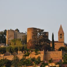
Château de Châtillon-d'Azergues
5.3 km
Musée de la mine de Saint-Pierre-la-Palud
4.8 km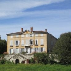
Château de Cruzols
4.3 km
Église Saint-Barthélémy de Fleurieux-sur-l'Arbresle
2.7 km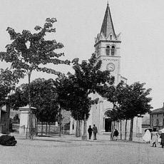
Église Saint-Laurent de Lentilly
3.8 km
Église Saint Jean-Baptiste de Sain-Bel
3.3 km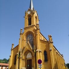
Église Saint-André de Savigny
3.8 km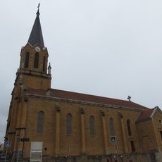
Église Saint-Germain de Saint-Germain-sur-l'Arbresle
2 km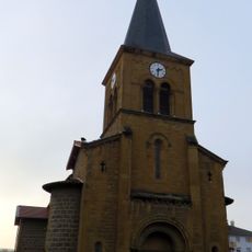
Église Saint-Pierre de Saint-Pierre-la-Palud
5 km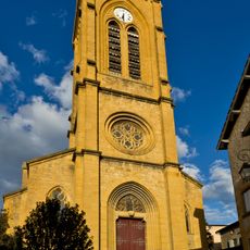
Église de la Nativité-de-Saint-Jean-Baptiste de L'Arbresle
106 m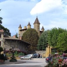
Château de Bully
3.3 km
Église Saint-Polycarpe de Bully
3.2 km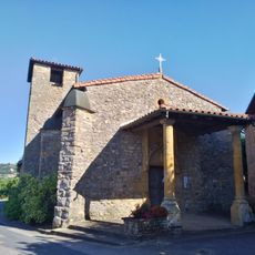
Église Saint-Joseph de Nuelles
1.5 km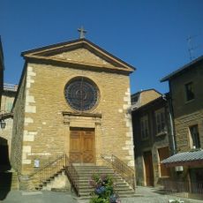
Église Saint-Barthélemy de Châtillon
5.2 km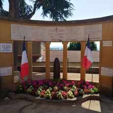
War memorial of Savigny
3.8 km
Château de Bel-Air
2.8 km
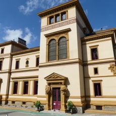
Hôtel des Valous
124 m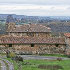
Maison forte du Péage
4 km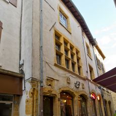
Maison, 14 rue Pierre-Brossolette
40 m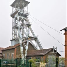
Puits Perret
4.5 km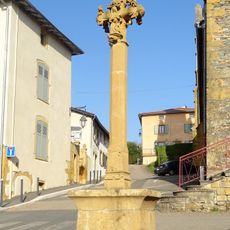
Croix de Sourcieux-les-Mines
3.4 km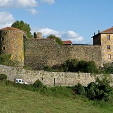
Château de Sain-Bel
3 km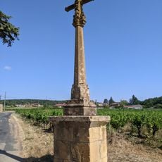
Croix de chemin du Mont
2.6 km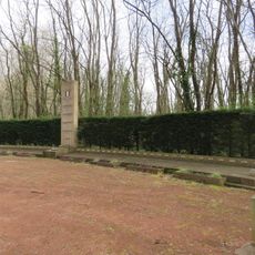
Monument aux 52 fusillés du 19 juillet 1944 de Châtillon
3.9 km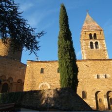
Chapelle Notre-Dame-du-Bon-Secours de Châtillon
5.3 km
Four à chaux de Sain Bel
2.8 kmReviews
Visited this place? Tap the stars to rate it and share your experience / photos with the community! Try now! You can cancel it anytime.
Discover hidden gems everywhere you go!
From secret cafés to breathtaking viewpoints, skip the crowded tourist spots and find places that match your style. Our app makes it easy with voice search, smart filtering, route optimization, and insider tips from travelers worldwide. Download now for the complete mobile experience.

A unique approach to discovering new places❞
— Le Figaro
All the places worth exploring❞
— France Info
A tailor-made excursion in just a few clicks❞
— 20 Minutes