
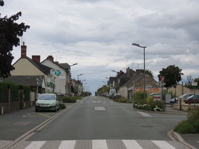
Noyant-la-Gravoyère, former commune in Maine-et-Loire, France
Location: Maine-et-Loire
Location: arrondissement of Segré
Elevation above the sea: 77 m
Website: http://www.noyantlagravoyere.fr
Shares border with: Bouillé-Ménard, Le Bourg-d'Iré, Châtelais, Combrée, Nyoiseau
Website: http://noyantlagravoyere.fr
GPS coordinates: 47.70389,-0.95528
Latest update: July 9, 2025 21:54
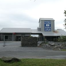
La Mine bleue
1.1 km
Château de la Douve
3.1 km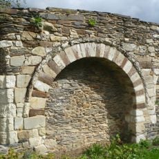
Abbaye Notre-Dame de Nyoiseau
3.4 km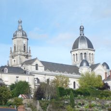
Église de La Madeleine
6.6 km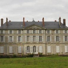
Château de la Roche
614 m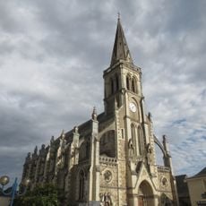
Église Sainte-Gemmes de Sainte-Gemmes-d'Andigné
6.3 km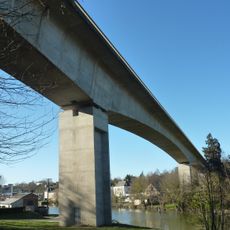
Viaduc de Segré sur l'Oudon
7.5 km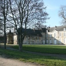
Château de Champiré
6.7 km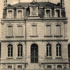
Building of the Savings Bank of Segré
7 km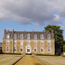
Château de la Faucille
5.3 km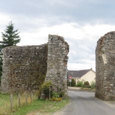
Porte guerchoise
6.5 km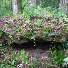
Tombe mégalithique du château de la Ferrière
7.8 km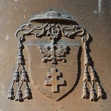
Église Saint-Aubin de Saint-Aubin du Pavoil
5.9 km
La Petite Couère
4.8 km
Église Saint-Nicolas de L'Hôtellerie-de-Flée
6.7 km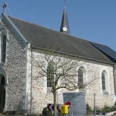
Église Saint-Jacques-et-Saint-Philippe de Bourg-l'Évêque
5.5 km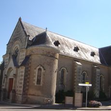
Église Saint-Pierre de Châtelais
6.5 km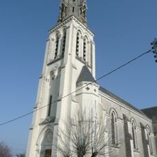
Église Saint-Louis du Tremblay
5.5 km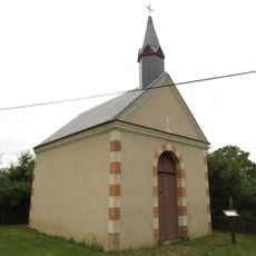
Chapelle de la Douve
3.3 km
Église Saint-Georges de Noyant-la-Gravoyère
737 m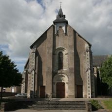
Église de la Sainte-Famille
3.1 km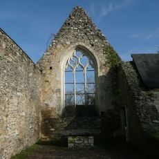
Église Saint-Jean de l'Hôpital
6.2 km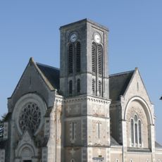
Église Saint-Maurille de Bouillé-Ménard
4.3 km
Église Saint-Pierre
5.6 km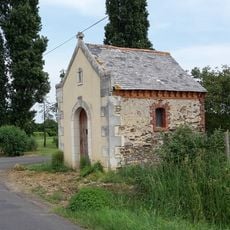
Chapelle de la Potherie
6.6 km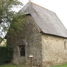
Chapelle Notre-Dame du Buron
2.3 km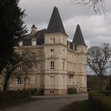
Château d'Orveau
3.7 km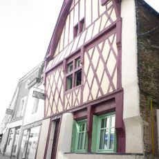
House, 27 rue Pasteur, Segré
6.6 kmReviews
Visited this place? Tap the stars to rate it and share your experience / photos with the community! Try now! You can cancel it anytime.
Discover hidden gems everywhere you go!
From secret cafés to breathtaking viewpoints, skip the crowded tourist spots and find places that match your style. Our app makes it easy with voice search, smart filtering, route optimization, and insider tips from travelers worldwide. Download now for the complete mobile experience.

A unique approach to discovering new places❞
— Le Figaro
All the places worth exploring❞
— France Info
A tailor-made excursion in just a few clicks❞
— 20 Minutes